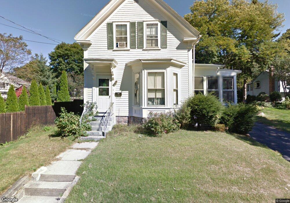
1 Bancroft Place Stoneham, MA 02180
Colonial Park NeighborhoodEstimated Value: $662,000 - $673,000
3
Beds
1
Bath
1,344
Sq Ft
$496/Sq Ft
Est. Value
About This Home
This home is located at 1 Bancroft Place, Stoneham, MA 02180 and is currently estimated at $666,744, approximately $496 per square foot. 1 Bancroft Place is a home located in Middlesex County with nearby schools including Stoneham High School, St. Patrick Elementary School, and Greater Boston Academy.
Ownership History
Date
Name
Owned For
Owner Type
Purchase Details
Closed on
Apr 2, 2022
Sold by
Luise Charles and Curtin Michelle
Bought by
Hoyt Louise
Current Estimated Value
Home Financials for this Owner
Home Financials are based on the most recent Mortgage that was taken out on this home.
Original Mortgage
$205,000
Outstanding Balance
$193,390
Interest Rate
4.67%
Mortgage Type
Stand Alone Refi Refinance Of Original Loan
Estimated Equity
$473,354
Purchase Details
Closed on
Feb 2, 2017
Sold by
Hoyt Louise
Bought by
Luise Charles and Curtin Michelle
Purchase Details
Closed on
Jun 4, 1996
Sold by
Cerri Jane A
Bought by
Hoyt Carl W
Create a Home Valuation Report for This Property
The Home Valuation Report is an in-depth analysis detailing your home's value as well as a comparison with similar homes in the area
Home Values in the Area
Average Home Value in this Area
Purchase History
| Date | Buyer | Sale Price | Title Company |
|---|---|---|---|
| Hoyt Louise | -- | None Available | |
| Luise Charles | -- | -- | |
| Hoyt Carl W | $45,000 | -- |
Source: Public Records
Mortgage History
| Date | Status | Borrower | Loan Amount |
|---|---|---|---|
| Open | Hoyt Louise | $205,000 |
Source: Public Records
Tax History
| Year | Tax Paid | Tax Assessment Tax Assessment Total Assessment is a certain percentage of the fair market value that is determined by local assessors to be the total taxable value of land and additions on the property. | Land | Improvement |
|---|---|---|---|---|
| 2025 | $6,039 | $590,300 | $380,100 | $210,200 |
| 2024 | $5,780 | $545,800 | $350,100 | $195,700 |
| 2023 | $5,604 | $504,900 | $320,100 | $184,800 |
| 2022 | $4,830 | $464,000 | $290,100 | $173,900 |
| 2021 | $4,883 | $451,300 | $280,100 | $171,200 |
| 2020 | $4,727 | $438,100 | $270,100 | $168,000 |
| 2019 | $3,924 | $413,800 | $250,100 | $163,700 |
| 2018 | $3,736 | $392,200 | $230,100 | $162,100 |
| 2017 | $4,560 | $384,300 | $220,100 | $164,200 |
| 2016 | $4,665 | $367,300 | $220,100 | $147,200 |
| 2015 | $4,532 | $349,700 | $210,100 | $139,600 |
| 2014 | $4,561 | $338,100 | $200,100 | $138,000 |
Source: Public Records
Map
Nearby Homes
- 51 Spring St
- 137 Franklin St Unit 102
- 17 Franklin St
- 4 Garfield Ave
- 8 Common St Unit 3
- 10 Pomeworth St Unit A
- 159 Franklin St Unit D2
- 159 Franklin St Unit C2
- 159 Franklin St Unit E6
- 35 Tremont St
- 21 Tremont St Unit B
- 21 Tremont St Unit A
- 58 Washington St
- 1 Tremont St
- 33 Lake Ave
- 11 Valdora Dr
- 57 Park St
- 3 Valley Rd
- 6 Everett St
- 12 Lovis Ave
Your Personal Tour Guide
Ask me questions while you tour the home.