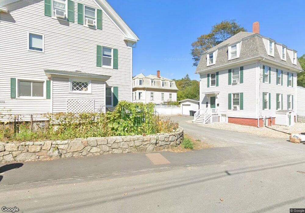
1 Banner Hill Way Gloucester, MA 01930
East Gloucester NeighborhoodEstimated Value: $672,643 - $1,024,000
3
Beds
1
Bath
1,574
Sq Ft
$539/Sq Ft
Est. Value
About This Home
This home is located at 1 Banner Hill Way, Gloucester, MA 01930 and is currently estimated at $849,161, approximately $539 per square foot. 1 Banner Hill Way is a home located in Essex County with nearby schools including East Gloucester Elementary School, Ralph B O'maley Middle School, and Gloucester High School.
Ownership History
Date
Name
Owned For
Owner Type
Purchase Details
Closed on
Jul 2, 2003
Sold by
Touchette Ed and Touchette Edgar A
Bought by
Touchette Ed
Current Estimated Value
Home Financials for this Owner
Home Financials are based on the most recent Mortgage that was taken out on this home.
Original Mortgage
$300,000
Interest Rate
5.46%
Create a Home Valuation Report for This Property
The Home Valuation Report is an in-depth analysis detailing your home's value as well as a comparison with similar homes in the area
Home Values in the Area
Average Home Value in this Area
Purchase History
| Date | Buyer | Sale Price | Title Company |
|---|---|---|---|
| Touchette Ed | -- | -- |
Source: Public Records
Mortgage History
| Date | Status | Borrower | Loan Amount |
|---|---|---|---|
| Open | Touchette Ed | $264,178 | |
| Closed | Touchette Ed | $76,000 | |
| Closed | Touchette Ed | $300,000 | |
| Previous Owner | Touchette Ed | $95,000 |
Source: Public Records
Tax History Compared to Growth
Tax History
| Year | Tax Paid | Tax Assessment Tax Assessment Total Assessment is a certain percentage of the fair market value that is determined by local assessors to be the total taxable value of land and additions on the property. | Land | Improvement |
|---|---|---|---|---|
| 2025 | $5,975 | $614,100 | $246,200 | $367,900 |
| 2024 | $5,975 | $614,100 | $246,200 | $367,900 |
| 2023 | $5,732 | $541,300 | $219,900 | $321,400 |
| 2022 | $5,490 | $468,000 | $186,900 | $281,100 |
| 2021 | $5,298 | $425,900 | $170,000 | $255,900 |
| 2020 | $5,248 | $425,600 | $170,000 | $255,600 |
| 2019 | $5,056 | $398,400 | $170,000 | $228,400 |
| 2018 | $4,907 | $379,500 | $170,000 | $209,500 |
| 2017 | $4,755 | $360,500 | $161,800 | $198,700 |
| 2016 | $4,636 | $340,600 | $162,400 | $178,200 |
| 2015 | $4,462 | $326,900 | $162,400 | $164,500 |
Source: Public Records
Map
Nearby Homes
- 84 Mount Pleasant Ave
- 263 E Main St
- 73 Rocky Neck Ave Unit 2
- 30 Chapel St Unit B
- 1 Wonson St
- 30 Grapevine Rd
- 100 E Main St
- 97 E Main St
- 9 Rocky Pasture Rd
- 7 Hawthorne Ln
- 9 Raven Ln Unit U:B-6
- 15 Raven Ln Unit 15
- 5 Raven Ln
- 69 E Main St Unit 1
- 36 Links Rd
- 191 Main St Unit 2B
- 191 Main St Unit 2A
- 191 Main St Unit 3
- 300 Main St
- 274 Main St Unit 5
- 107R Mount Pleasant Ave
- 107 Mount Pleasant Ave
- 113 Mt Pleasant Ave Winter Rental Unit 1
- 113 Mount Pleasant Ave
- 113 Mount Pleasant Ave Unit 1
- 113 Mount Pleasant Ave Unit 3
- 113 Mount Pleasant Ave Unit 2
- 111 Mount Pleasant Ave
- 2 Banner Hill Way
- 115 Mount Pleasant Ave
- 119 Mount Pleasant Ave
- 120 Mount Pleasant Ave
- 118 Mount Pleasant Ave
- 122 Mount Pleasant Ave
- 3 Banner Hill Way
- 4 Eden Ln
- 112 Mount Pleasant Ave
- 121 Mount Pleasant Ave
- 124 Mt Pleasant Winter Unit 1
- 124 Mt Pleasant Ave Winter Unit 1