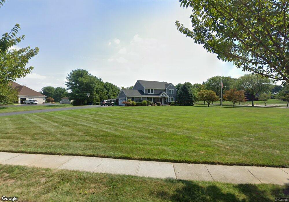
1 Barto Way Trenton, NJ 08691
Estimated Value: $894,739 - $1,021,000
--
Bed
--
Bath
2,506
Sq Ft
$388/Sq Ft
Est. Value
About This Home
This home is located at 1 Barto Way, Trenton, NJ 08691 and is currently estimated at $972,685, approximately $388 per square foot. 1 Barto Way is a home located in Mercer County with nearby schools including Sharon Elementary School, Pond Road Middle School, and Robbinsville High School.
Ownership History
Date
Name
Owned For
Owner Type
Purchase Details
Closed on
Oct 27, 2004
Sold by
Hines Peter
Bought by
Psiuk James and Psiuk Jill
Current Estimated Value
Home Financials for this Owner
Home Financials are based on the most recent Mortgage that was taken out on this home.
Original Mortgage
$333,700
Outstanding Balance
$166,194
Interest Rate
5.75%
Mortgage Type
Purchase Money Mortgage
Estimated Equity
$806,491
Purchase Details
Closed on
Jun 28, 1991
Sold by
Trafalgar House Property Inc
Bought by
Hines Peter M and Hines Deborah A
Create a Home Valuation Report for This Property
The Home Valuation Report is an in-depth analysis detailing your home's value as well as a comparison with similar homes in the area
Home Values in the Area
Average Home Value in this Area
Purchase History
| Date | Buyer | Sale Price | Title Company |
|---|---|---|---|
| Psiuk James | $519,000 | -- | |
| Hines Peter M | $230,000 | -- |
Source: Public Records
Mortgage History
| Date | Status | Borrower | Loan Amount |
|---|---|---|---|
| Open | Psiuk James | $333,700 |
Source: Public Records
Tax History Compared to Growth
Tax History
| Year | Tax Paid | Tax Assessment Tax Assessment Total Assessment is a certain percentage of the fair market value that is determined by local assessors to be the total taxable value of land and additions on the property. | Land | Improvement |
|---|---|---|---|---|
| 2025 | $17,759 | $531,400 | $228,900 | $302,500 |
| 2024 | $16,574 | $531,400 | $228,900 | $302,500 |
| 2023 | $16,574 | $531,400 | $228,900 | $302,500 |
| 2022 | $15,931 | $531,400 | $228,900 | $302,500 |
| 2021 | $15,703 | $531,400 | $228,900 | $302,500 |
| 2020 | $15,708 | $531,400 | $228,900 | $302,500 |
| 2019 | $15,714 | $531,400 | $228,900 | $302,500 |
| 2018 | $15,613 | $531,400 | $228,900 | $302,500 |
| 2017 | $15,581 | $531,400 | $228,900 | $302,500 |
| 2016 | $15,437 | $531,400 | $228,900 | $302,500 |
| 2015 | $15,203 | $531,400 | $228,900 | $302,500 |
| 2014 | $15,256 | $531,400 | $228,900 | $302,500 |
Source: Public Records
Map
Nearby Homes
- 360 Gordon Rd
- 309 Gordon Rd
- 21 Mary Ln
- 342 Sharon Rd
- 17 Howard Dr
- 260 Gordon Rd
- 1210 Route 130
- 150 Windsor Rd
- 143 Richardson Rd
- 5 Violet Ln
- 94 Tindall Rd
- 110 Robbinsville Allentown Rd
- 1305 1325 Route 130
- 299 Perrineville Rd
- 467 Gordon Rd
- 12 Brookshire Dr
- 23 N Main St
- 36 Allens Rd
- 26 Arnold Ln
- 3 Sara Dr