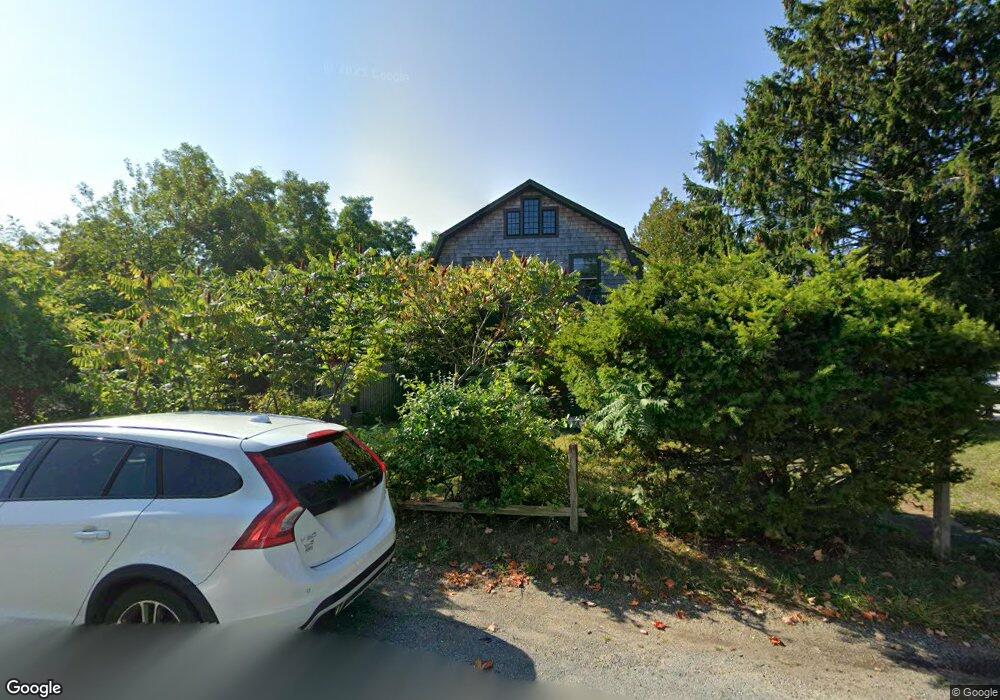
1 Beachmont Ave Gloucester, MA 01930
West Gloucester NeighborhoodEstimated Value: $903,000 - $1,078,000
4
Beds
2
Baths
2,334
Sq Ft
$418/Sq Ft
Est. Value
About This Home
This home is located at 1 Beachmont Ave, Gloucester, MA 01930 and is currently estimated at $974,555, approximately $417 per square foot. 1 Beachmont Ave is a home located in Essex County with nearby schools including West Parish, Ralph B O'maley Middle School, and Gloucester High School.
Ownership History
Date
Name
Owned For
Owner Type
Purchase Details
Closed on
Jul 6, 1993
Sold by
Old Road R T
Bought by
Oshea Mary J and Oshea Thomas
Current Estimated Value
Home Financials for this Owner
Home Financials are based on the most recent Mortgage that was taken out on this home.
Original Mortgage
$240,000
Interest Rate
7.46%
Mortgage Type
Purchase Money Mortgage
Create a Home Valuation Report for This Property
The Home Valuation Report is an in-depth analysis detailing your home's value as well as a comparison with similar homes in the area
Home Values in the Area
Average Home Value in this Area
Purchase History
| Date | Buyer | Sale Price | Title Company |
|---|---|---|---|
| Oshea Mary J | $79,500 | -- |
Source: Public Records
Mortgage History
| Date | Status | Borrower | Loan Amount |
|---|---|---|---|
| Closed | Oshea Mary J | $240,000 |
Source: Public Records
Tax History
| Year | Tax Paid | Tax Assessment Tax Assessment Total Assessment is a certain percentage of the fair market value that is determined by local assessors to be the total taxable value of land and additions on the property. | Land | Improvement |
|---|---|---|---|---|
| 2025 | $9,236 | $950,200 | $320,200 | $630,000 |
| 2024 | $9,096 | $934,800 | $304,800 | $630,000 |
| 2023 | $8,745 | $825,800 | $272,100 | $553,700 |
| 2022 | $8,440 | $719,500 | $231,300 | $488,200 |
| 2021 | $8,173 | $657,000 | $210,300 | $446,700 |
| 2020 | $8,156 | $661,500 | $210,300 | $451,200 |
| 2019 | $7,915 | $623,700 | $210,300 | $413,400 |
| 2018 | $7,721 | $597,100 | $210,300 | $386,800 |
| 2017 | $7,496 | $568,300 | $200,200 | $368,100 |
| 2016 | $7,319 | $537,800 | $200,700 | $337,100 |
| 2015 | $7,016 | $514,000 | $200,700 | $313,300 |
Source: Public Records
Map
Nearby Homes
- 5 Marshfield St
- 145 Essex Ave Unit 402
- 24 Cobblestone Ln Unit 603
- 15 Harvard St
- 5 Lepage Ln
- 20 Beacon St
- 20 Beacon St Unit 2
- 20 Beacon St Unit 1
- 33 Middle St
- 191 Main St Unit 3
- 191 Main St Unit 2A
- 6 Monroe Ct
- 33 Maplewood Ave Unit 310
- 5 Samoset Rd Unit B
- 1 Wonson St
- 113 Pleasant St
- 98 Maplewood Ave
- 60 Rocky Neck Ave Unit 202
- 73 Rocky Neck Ave Unit 2
- 15 Raven Ln Unit 15
- 128 Western Ave Unit 4
- 128 Western Ave Unit 3
- 128 Western Ave Unit 2
- 128 Western Ave Unit 1
- 6 Tolman Ave
- 5 Beachmont Ave
- 2 Beachmont Ave
- 2 Beachmont Ave Unit 1
- 2 Beachmont Ave
- 203 Western Ave Unit 2
- 203 Western Ave Unit 1
- 203 Western Ave Unit A
- 203 Western Ave
- 8 Tolman Ave
- 1 Tolman Ave
- 7R Tolman Ave
- 4 Beachmont Ave
- 120 Western Ave
- 10 Tolman Ave
- 120A Western Ave
Your Personal Tour Guide
Ask me questions while you tour the home.