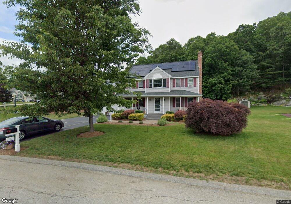
1 Bill Graham Ln Millbury, MA 01527
Estimated Value: $652,892 - $743,000
4
Beds
3
Baths
2,448
Sq Ft
$286/Sq Ft
Est. Value
About This Home
This home is located at 1 Bill Graham Ln, Millbury, MA 01527 and is currently estimated at $700,973, approximately $286 per square foot. 1 Bill Graham Ln is a home located in Worcester County with nearby schools including Elmwood Street Elementary School, Raymond E. Shaw Elementary School, and Millbury Junior/Senior High School.
Ownership History
Date
Name
Owned For
Owner Type
Purchase Details
Closed on
Sep 22, 2004
Sold by
Kite Anita G and Armes Robert C
Bought by
Collins Kristin A and Collins Leroy W
Current Estimated Value
Home Financials for this Owner
Home Financials are based on the most recent Mortgage that was taken out on this home.
Original Mortgage
$324,000
Outstanding Balance
$160,624
Interest Rate
5.89%
Mortgage Type
Purchase Money Mortgage
Estimated Equity
$540,349
Purchase Details
Closed on
Mar 16, 2000
Sold by
Rollie Shepard Rt and Miles
Bought by
Armes Robert C and Kite Anita G
Create a Home Valuation Report for This Property
The Home Valuation Report is an in-depth analysis detailing your home's value as well as a comparison with similar homes in the area
Home Values in the Area
Average Home Value in this Area
Purchase History
| Date | Buyer | Sale Price | Title Company |
|---|---|---|---|
| Collins Kristin A | $405,000 | -- | |
| Collins Kristin A | $405,000 | -- | |
| Armes Robert C | $236,444 | -- | |
| Armes Robert C | $236,444 | -- |
Source: Public Records
Mortgage History
| Date | Status | Borrower | Loan Amount |
|---|---|---|---|
| Open | Collins Kristin A | $324,000 | |
| Closed | Armes Robert C | $324,000 | |
| Previous Owner | Armes Robert C | $222,000 |
Source: Public Records
Tax History Compared to Growth
Tax History
| Year | Tax Paid | Tax Assessment Tax Assessment Total Assessment is a certain percentage of the fair market value that is determined by local assessors to be the total taxable value of land and additions on the property. | Land | Improvement |
|---|---|---|---|---|
| 2025 | $7,730 | $577,300 | $118,300 | $459,000 |
| 2024 | $7,090 | $535,900 | $109,600 | $426,300 |
| 2023 | $6,462 | $447,200 | $76,900 | $370,300 |
| 2022 | $5,808 | $387,200 | $76,900 | $310,300 |
| 2021 | $5,723 | $370,900 | $76,900 | $294,000 |
| 2020 | $4,281 | $365,400 | $76,900 | $288,500 |
| 2019 | $5,597 | $353,100 | $76,500 | $276,600 |
| 2018 | $5,544 | $339,300 | $76,500 | $262,800 |
| 2017 | $5,225 | $318,000 | $79,800 | $238,200 |
| 2016 | $5,310 | $322,600 | $79,800 | $242,800 |
| 2015 | $5,203 | $316,100 | $84,900 | $231,200 |
| 2014 | $4,809 | $281,200 | $84,900 | $196,300 |
Source: Public Records
Map
Nearby Homes
- 3 May St
- 90 Macarthur Dr
- 86 Wheelock Ave
- 2 Diane St
- 12 Irene Ct
- 11 Westview Ave
- 1 Pineland Ave
- 1 Broadmeadow Ave
- 46 John Dr Unit 46
- 5 Edward Dr
- 12 Alstead Path
- 21 Lordvale Blvd Unit 406
- 28 Lincoln Ln
- 5 Lincoln Ln Unit 5
- 11 Maplewood Rd
- 76 Samuel Dr
- 330 Millbury Ave
- 27 A-B Grafton St
- 123 Riverlin St
- 3 Stidsen Way
- 11 Rollie Shepard Dr
- 3 Bill Graham Ln
- 9 Rollie Shepard Dr
- 2 Bill Graham Ln
- 5 Bill Graham Ln
- 13 Rollie Shepard Dr
- 4 Bill Graham Ln
- 7 Rollie Shepard Dr
- 8 Rollie Shepard Dr
- 7 Bill Graham Ln
- 10 Rollie Shepard Dr
- 12 Rollie Shepard Dr
- 6 Rollie Shepard Dr
- 15 Rollie Shepard Dr
- 14 Rollie Shepard Dr
- 6 Bill Graham Ln
- 31 Macarthur Dr
- 35 Macarthur Dr
- 16 Rollie Shepard Dr
- 27 Macarthur Dr