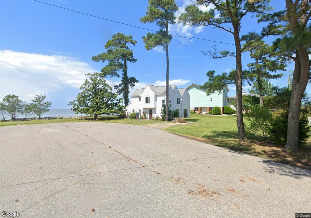
1 Breezy Point Rd Poquoson, VA 23662
Poquoson Shores NeighborhoodEstimated Value: $573,000 - $610,000
3
Beds
2
Baths
1,730
Sq Ft
$344/Sq Ft
Est. Value
About This Home
This home is located at 1 Breezy Point Rd, Poquoson, VA 23662 and is currently estimated at $594,280, approximately $343 per square foot. 1 Breezy Point Rd is a home located in Poquoson City.
Ownership History
Date
Name
Owned For
Owner Type
Purchase Details
Closed on
Jan 8, 2024
Sold by
Alma H Moore Revocable Trust and Wayne Moore D
Bought by
Baird Zachery K
Current Estimated Value
Home Financials for this Owner
Home Financials are based on the most recent Mortgage that was taken out on this home.
Original Mortgage
$412,500
Outstanding Balance
$405,281
Interest Rate
6.95%
Mortgage Type
New Conventional
Estimated Equity
$188,999
Create a Home Valuation Report for This Property
The Home Valuation Report is an in-depth analysis detailing your home's value as well as a comparison with similar homes in the area
Home Values in the Area
Average Home Value in this Area
Purchase History
| Date | Buyer | Sale Price | Title Company |
|---|---|---|---|
| Baird Zachery K | $550,000 | Stewart Title |
Source: Public Records
Mortgage History
| Date | Status | Borrower | Loan Amount |
|---|---|---|---|
| Open | Baird Zachery K | $412,500 |
Source: Public Records
Tax History Compared to Growth
Tax History
| Year | Tax Paid | Tax Assessment Tax Assessment Total Assessment is a certain percentage of the fair market value that is determined by local assessors to be the total taxable value of land and additions on the property. | Land | Improvement |
|---|---|---|---|---|
| 2024 | $5,928 | $520,000 | $294,200 | $225,800 |
| 2023 | $5,609 | $505,300 | $294,200 | $211,100 |
| 2022 | $5,117 | $452,800 | $294,100 | $158,700 |
| 2021 | $5,392 | $477,200 | $318,500 | $158,700 |
| 2020 | -- | $461,000 | $318,500 | $142,500 |
| 2019 | -- | $461,000 | $318,500 | $142,500 |
| 2018 | -- | $456,300 | $318,500 | $137,800 |
| 2017 | -- | $435,300 | $298,100 | $137,200 |
| 2016 | -- | $435,300 | $298,100 | $137,200 |
| 2015 | -- | $435,300 | $298,100 | $137,200 |
| 2013 | -- | $435,300 | $298,100 | $137,200 |
Source: Public Records
Map
Nearby Homes
- 1 Phillips Rd
- 15+AC Browns Neck Rd
- 10 White House Dr
- 105 Rens Rd Unit 30
- 105 Rens Rd Unit 2
- 105 Rens Rd Unit 74
- 105 Rens Rd Unit Lot 48
- 41 W Sandy Point Rd
- 7 Carmines Ct
- 3 Carmines Ct
- 6 Lessies Dr
- 28 Pasture Rd
- 1.55ac Holloway Rd
- 62 Rens Rd
- 8 Wornom Farm Rd
- 21 Rens Rd
- 11 Valmoore Dr
- 7 Quail Cove
- 8 Harbour View Dr
- 11 Dorothy Dr
- 3 Breezy Point Rd
- 4 Breezy Point Rd
- 259 Browns Neck Rd
- 5 Breezy Point Rd
- 234 Browns Neck Rd
- 7 Breezy Point Rd
- 223 Browns Neck Rd
- 211 Browns Neck Rd
- 211 Browns Neck Rd
- 228 Browns Neck Rd
- 221 Browns Neck Rd
- 226 Browns Neck Rd
- 219 Browns Neck Rd
- 224 Browns Neck Rd
- 222 Browns Neck Rd
- 217 Browns Neck Rd
- 209 Browns Neck Rd
- 207 Browns Neck Rd
- 215 Browns Neck Rd
- 220 Browns Neck Rd