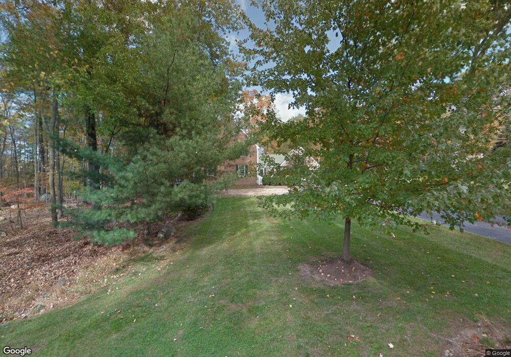
1 Briar Cliff Ln Boonton, NJ 07005
Estimated Value: $1,116,210 - $1,431,000
--
Bed
--
Bath
3,349
Sq Ft
$378/Sq Ft
Est. Value
About This Home
This home is located at 1 Briar Cliff Ln, Boonton, NJ 07005 and is currently estimated at $1,265,553, approximately $377 per square foot. 1 Briar Cliff Ln is a home located in Morris County with nearby schools including Rockaway Valley Elementary School and Our Lady of Mount Carmel School.
Ownership History
Date
Name
Owned For
Owner Type
Purchase Details
Closed on
May 27, 2011
Sold by
Finnegan Kenneth R and Finnegan Lynn
Bought by
Pappas Michael and Pappas Kathleen Y
Current Estimated Value
Purchase Details
Closed on
Aug 15, 1997
Sold by
Page Dan L
Bought by
Finnegan Kenneth R and Finnegan Lynn
Home Financials for this Owner
Home Financials are based on the most recent Mortgage that was taken out on this home.
Original Mortgage
$385,000
Interest Rate
7.56%
Create a Home Valuation Report for This Property
The Home Valuation Report is an in-depth analysis detailing your home's value as well as a comparison with similar homes in the area
Home Values in the Area
Average Home Value in this Area
Purchase History
| Date | Buyer | Sale Price | Title Company |
|---|---|---|---|
| Pappas Michael | $826,000 | Fidelity Natl Title Ins Co | |
| Finnegan Kenneth R | $458,000 | -- |
Source: Public Records
Mortgage History
| Date | Status | Borrower | Loan Amount |
|---|---|---|---|
| Previous Owner | Finnegan Kenneth R | $385,000 |
Source: Public Records
Tax History Compared to Growth
Tax History
| Year | Tax Paid | Tax Assessment Tax Assessment Total Assessment is a certain percentage of the fair market value that is determined by local assessors to be the total taxable value of land and additions on the property. | Land | Improvement |
|---|---|---|---|---|
| 2025 | $17,712 | $706,800 | $294,800 | $412,000 |
| 2024 | $17,507 | $706,800 | $294,800 | $412,000 |
| 2023 | $17,507 | $706,800 | $294,800 | $412,000 |
| 2022 | $16,756 | $706,800 | $294,800 | $412,000 |
| 2021 | $16,756 | $705,500 | $294,800 | $410,700 |
| 2020 | $16,558 | $705,500 | $294,800 | $410,700 |
| 2019 | $16,332 | $705,500 | $294,800 | $410,700 |
| 2018 | $15,902 | $705,500 | $294,800 | $410,700 |
| 2017 | $15,669 | $705,500 | $294,800 | $410,700 |
| 2016 | $15,465 | $705,500 | $294,800 | $410,700 |
| 2015 | $15,465 | $705,500 | $294,800 | $410,700 |
| 2014 | $15,394 | $705,500 | $294,800 | $410,700 |
Source: Public Records
Map
Nearby Homes
- 350 Powerville Rd
- 334 Powerville Rd
- 341 Powerville Rd
- 337 Powerville Rd
- 18 Cliffside Way
- 354 Powerville Rd
- 17 Cliffside Way
- 349 Powerville Rd
- 331 Powerville Rd
- 326 Powerville Rd
- 14 Cliffside Way
- 10 Cliffside Way
- 20 Cliffside Way
- 19 Cliffside Way
- 329 Powerville Rd
- 358 Powerville Rd
- 324 Powerville Rd
- 359 Powerville Rd
- 21 Cliffside Way
- 325 Powerville Rd