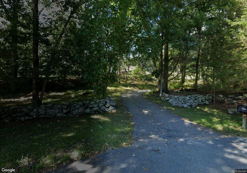
1 Bridle Path Sherborn, MA 01770
Estimated Value: $1,203,000 - $1,557,000
3
Beds
4
Baths
3,903
Sq Ft
$360/Sq Ft
Est. Value
About This Home
This home is located at 1 Bridle Path, Sherborn, MA 01770 and is currently estimated at $1,403,371, approximately $359 per square foot. 1 Bridle Path is a home located in Middlesex County with nearby schools including Pine Hill Elementary School, Dover-Sherborn Regional Middle School, and Dover-Sherborn Regional High School.
Create a Home Valuation Report for This Property
The Home Valuation Report is an in-depth analysis detailing your home's value as well as a comparison with similar homes in the area
Home Values in the Area
Average Home Value in this Area
Tax History
| Year | Tax Paid | Tax Assessment Tax Assessment Total Assessment is a certain percentage of the fair market value that is determined by local assessors to be the total taxable value of land and additions on the property. | Land | Improvement |
|---|---|---|---|---|
| 2025 | $18,531 | $1,117,700 | $612,200 | $505,500 |
| 2024 | $18,947 | $1,117,800 | $612,200 | $505,600 |
| 2023 | $18,577 | $1,031,500 | $612,200 | $419,300 |
| 2022 | $17,968 | $944,200 | $588,000 | $356,200 |
| 2021 | $9,943 | $921,000 | $588,000 | $333,000 |
| 2020 | $17,923 | $921,000 | $588,000 | $333,000 |
| 2019 | $16,481 | $840,000 | $588,000 | $252,000 |
| 2018 | $16,212 | $840,000 | $588,000 | $252,000 |
| 2017 | $16,996 | $830,700 | $588,000 | $242,700 |
| 2016 | $17,087 | $830,700 | $588,000 | $242,700 |
| 2015 | $16,829 | $828,200 | $583,200 | $245,000 |
| 2014 | $16,278 | $800,300 | $564,200 | $236,100 |
Source: Public Records
Map
Nearby Homes
- 5 Farm Rd
- 14 Sewall Brook Ln
- 90 Maple St
- 65 Farm Road Lot 6
- 32 Cider Hill Ln
- 174 S Main St
- 137 Lake St
- 20 Nason Hill Rd
- 59 Spywood Rd
- 14 Fiske Pond Rd
- 81 Brush Hill Rd
- 6 Hopewell Farm Rd
- 9 Adams Ln Unit 9
- 615 Mayflower Landing
- 27 Spywood Rd
- 1 Adams Ln Unit 1
- 00000 S Main St and Bullard St
- 21 Spywood Rd
- 11 Morgan Dr Unit 404
- 7 Allison Way Unit 7
Your Personal Tour Guide
Ask me questions while you tour the home.