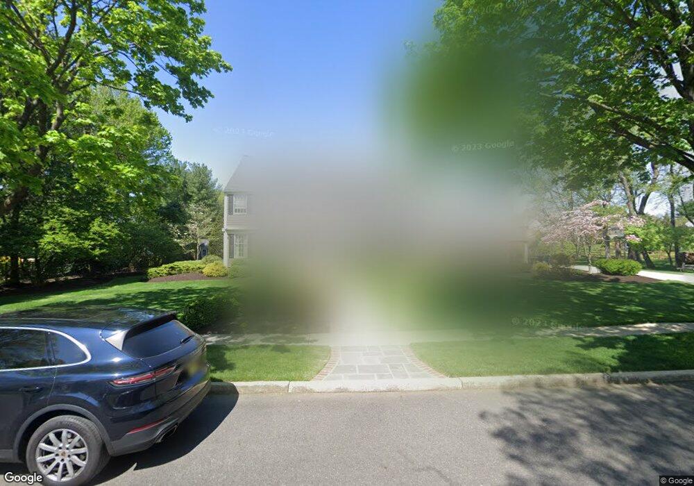
1 Bridlewood Ln Moorestown, NJ 08057
Estimated Value: $919,000 - $1,043,000
--
Bed
--
Bath
3,213
Sq Ft
$303/Sq Ft
Est. Value
About This Home
This home is located at 1 Bridlewood Ln, Moorestown, NJ 08057 and is currently estimated at $973,107, approximately $302 per square foot. 1 Bridlewood Ln is a home located in Burlington County with nearby schools including George C. Baker Elementary School, Moorestown Upper Elementary School, and William Allen Middle School.
Ownership History
Date
Name
Owned For
Owner Type
Purchase Details
Closed on
Mar 30, 2016
Sold by
Andrew Constantine T and Andrew Susan R
Bought by
Andrew Susan R
Current Estimated Value
Purchase Details
Closed on
Sep 30, 1993
Sold by
Armstrong Charles
Bought by
Andrew Constantine and Andrew Susan Andrew
Home Financials for this Owner
Home Financials are based on the most recent Mortgage that was taken out on this home.
Original Mortgage
$310,000
Interest Rate
6.86%
Create a Home Valuation Report for This Property
The Home Valuation Report is an in-depth analysis detailing your home's value as well as a comparison with similar homes in the area
Home Values in the Area
Average Home Value in this Area
Purchase History
| Date | Buyer | Sale Price | Title Company |
|---|---|---|---|
| Andrew Susan R | -- | Attorney | |
| Andrew Constantine | $387,000 | -- |
Source: Public Records
Mortgage History
| Date | Status | Borrower | Loan Amount |
|---|---|---|---|
| Closed | Andrew Constantine | $310,000 |
Source: Public Records
Tax History Compared to Growth
Tax History
| Year | Tax Paid | Tax Assessment Tax Assessment Total Assessment is a certain percentage of the fair market value that is determined by local assessors to be the total taxable value of land and additions on the property. | Land | Improvement |
|---|---|---|---|---|
| 2025 | $16,316 | $575,100 | $210,400 | $364,700 |
| 2024 | $15,821 | $575,100 | $210,400 | $364,700 |
| 2023 | $15,821 | $575,100 | $210,400 | $364,700 |
| 2022 | $14,625 | $544,300 | $0 | $0 |
| 2021 | $14,625 | $544,300 | $0 | $0 |
| 2020 | $14,533 | $544,300 | $0 | $0 |
| 2019 | $14,277 | $575,100 | $210,400 | $364,700 |
| 2018 | $13,891 | $575,100 | $210,400 | $364,700 |
| 2017 | $14,157 | $556,100 | $210,400 | $345,700 |
| 2016 | $14,108 | $556,100 | $210,400 | $345,700 |
| 2015 | $14,092 | $551,400 | $210,400 | $341,000 |
| 2014 | $13,267 | $551,400 | $210,400 | $341,000 |
Source: Public Records
Map
Nearby Homes
- 25 Oriole Way
- 2801 Riverton Rd
- 543 Bethel Ave
- 2807 Hunterdon Dr
- 308 Farmdale Rd
- 316 Farmdale Rd
- 2611 Barton Ct
- 423 Park Blvd
- 343 Tom Brown Rd
- 863 Golf View Rd
- 347 Tom Brown Rd
- 205 Crider Ave Unit 205
- 2716 Branch Pike
- 313 Fairview Ave
- 531 Covington Terrace
- 316 W 3rd St
- 142 Fox Chase Dr
- 62 Sussex Dr
- 310 Devon Rd
- 744 Signal Light Rd
- 817 Fernwood Rd
- 813 Fernwood Rd
- 811 Fernwood Rd
- 815 Fernwood Rd
- 821 Loveland Rd
- 2 Bridlewood Ln
- 825 Loveland Rd
- 831 Matlack Dr
- 809 Fernwood Rd
- 835 Matlack Dr
- 817 Loveland Rd
- 812 Fernwood Rd
- 814 Fernwood Rd
- 829 Loveland Rd
- 810 Fernwood Rd
- 839 Matlack Dr
- 816 Fernwood Rd
- 808 Fernwood Rd
- 816 Loveland Rd
- 807 Fernwood Rd