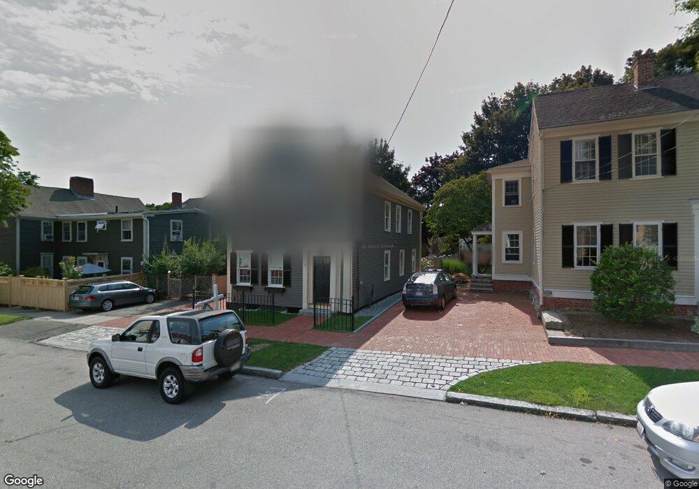
1 Broad St Unit 1 Newburyport, MA 01950
Estimated Value: $1,360,000 - $1,468,000
3
Beds
4
Baths
2,024
Sq Ft
$691/Sq Ft
Est. Value
About This Home
This home is located at 1 Broad St Unit 1, Newburyport, MA 01950 and is currently estimated at $1,397,832, approximately $690 per square foot. 1 Broad St Unit 1 is a home located in Essex County with nearby schools including Francis T. Bresnahan Elementary School, Edward G. Molin Elementary School, and Rupert A. Nock Middle School.
Ownership History
Date
Name
Owned For
Owner Type
Purchase Details
Closed on
Dec 31, 2018
Sold by
Gabi Rt
Bought by
Hagen William H and Mccartney Kathlen A
Current Estimated Value
Home Financials for this Owner
Home Financials are based on the most recent Mortgage that was taken out on this home.
Original Mortgage
$468,500
Outstanding Balance
$413,562
Interest Rate
4.8%
Mortgage Type
New Conventional
Estimated Equity
$984,270
Purchase Details
Closed on
Nov 3, 2015
Sold by
Lee John E
Bought by
Gabi Rt and Lee John E
Purchase Details
Closed on
Oct 7, 2010
Sold by
Est Markos Asimina and Perrault Joanne
Bought by
Lee John E
Create a Home Valuation Report for This Property
The Home Valuation Report is an in-depth analysis detailing your home's value as well as a comparison with similar homes in the area
Home Values in the Area
Average Home Value in this Area
Purchase History
| Date | Buyer | Sale Price | Title Company |
|---|---|---|---|
| Hagen William H | $840,000 | -- | |
| Gabi Rt | -- | -- | |
| Lee John E | $310,000 | -- |
Source: Public Records
Mortgage History
| Date | Status | Borrower | Loan Amount |
|---|---|---|---|
| Open | Hagen William H | $468,500 |
Source: Public Records
Tax History Compared to Growth
Tax History
| Year | Tax Paid | Tax Assessment Tax Assessment Total Assessment is a certain percentage of the fair market value that is determined by local assessors to be the total taxable value of land and additions on the property. | Land | Improvement |
|---|---|---|---|---|
| 2025 | $11,267 | $1,176,100 | $393,300 | $782,800 |
| 2024 | $10,683 | $1,071,500 | $357,600 | $713,900 |
| 2023 | $11,006 | $1,024,800 | $310,900 | $713,900 |
| 2022 | $10,397 | $865,700 | $259,100 | $606,600 |
| 2021 | $9,939 | $786,300 | $235,500 | $550,800 |
| 2020 | $9,775 | $761,300 | $235,500 | $525,800 |
| 2019 | $8,570 | $655,200 | $235,500 | $419,700 |
| 2018 | $8,286 | $624,900 | $224,300 | $400,600 |
| 2017 | $8,100 | $602,200 | $213,600 | $388,600 |
| 2016 | $7,407 | $553,200 | $194,600 | $358,600 |
| 2015 | $6,997 | $524,500 | $194,600 | $329,900 |
Source: Public Records
Map
Nearby Homes
- 217 Merrimac St Unit 1
- 13 Broad St
- 266 Merrimac St Unit F
- 27 Warren St Unit 1
- 288 Merrimac St
- 158 Merrimac St Unit 3
- 126 Merrimac St Unit 35
- 126 Merrimac St Unit 31
- 45 Boardman St Unit 1
- 44 Washington St Unit C
- 41 Washington St Unit B
- 14 Dexter Ln Unit B
- 14 Dexter Ln Unit A
- 58 Merrimac St Unit 2-5
- 175 Bridge Rd
- 287 1/2 High St
- 2 Court St Unit 4
- 10 10th St
- 157 Bridge Rd
- 110 Low St
- 1 Broad St
- 225 Merrimac St Unit 227
- 3 Broad St
- 223 Merrimac St
- 223 Merrimac St Unit 223
- 219 Merrimac St Unit 221
- 7 Broad St Unit 4
- 7 Broad St Unit 3
- 7 Broad St Unit 2
- 7 Broad St Unit 1
- 7 Broad St
- 6 Carter St
- 4 Carter St
- 2 Broad St Unit B
- 2 Broad St Unit C
- 2 Broad St Unit A
- 8 Carter St
- 217 Merrimac St
- 217 Merrimac St Unit 2
- 231 Merrimac St Unit 3