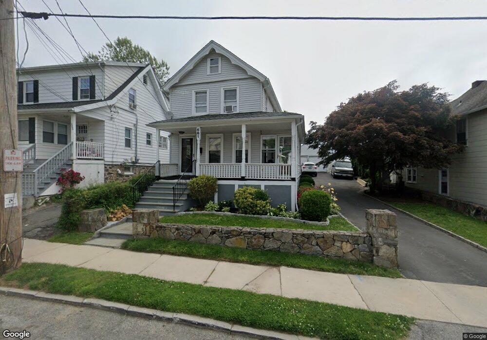
1 Brook Rd Port Chester, NY 10573
Estimated Value: $677,000 - $819,000
3
Beds
2
Baths
1,480
Sq Ft
$502/Sq Ft
Est. Value
About This Home
This home is located at 1 Brook Rd, Port Chester, NY 10573 and is currently estimated at $742,805, approximately $501 per square foot. 1 Brook Rd is a home located in Westchester County with nearby schools including Port Chester Middle School, Port Chester Senior High School, and Corpus Christi Holy Rosary School.
Ownership History
Date
Name
Owned For
Owner Type
Purchase Details
Closed on
Nov 11, 2009
Sold by
Mejia Mario R and Mejia Dora A
Bought by
Mejia Mario R and Mejia Dora A
Current Estimated Value
Home Financials for this Owner
Home Financials are based on the most recent Mortgage that was taken out on this home.
Original Mortgage
$236,000
Outstanding Balance
$153,467
Interest Rate
4.92%
Mortgage Type
New Conventional
Estimated Equity
$589,338
Purchase Details
Closed on
Feb 17, 2006
Sold by
Zdanoff Joel
Bought by
Mejia Mario R and Mejia Dora A
Purchase Details
Closed on
Jan 25, 1999
Sold by
Gentile Katherine Braun
Bought by
Reich Mark A and Reich Barbara O Hirsh
Create a Home Valuation Report for This Property
The Home Valuation Report is an in-depth analysis detailing your home's value as well as a comparison with similar homes in the area
Home Values in the Area
Average Home Value in this Area
Purchase History
| Date | Buyer | Sale Price | Title Company |
|---|---|---|---|
| Mejia Mario R | $315,001 | The Judicial Title Insurance | |
| Mejia Mario R | $565,000 | Round Hill Title Agency Inc | |
| Reich Mark A | $495,000 | -- |
Source: Public Records
Mortgage History
| Date | Status | Borrower | Loan Amount |
|---|---|---|---|
| Open | Mejia Mario R | $236,000 |
Source: Public Records
Tax History Compared to Growth
Tax History
| Year | Tax Paid | Tax Assessment Tax Assessment Total Assessment is a certain percentage of the fair market value that is determined by local assessors to be the total taxable value of land and additions on the property. | Land | Improvement |
|---|---|---|---|---|
| 2024 | $12,615 | $592,700 | $208,200 | $384,500 |
| 2023 | $11,874 | $569,900 | $198,300 | $371,600 |
| 2022 | $11,261 | $527,700 | $198,300 | $329,400 |
| 2021 | $12,058 | $502,600 | $198,300 | $304,300 |
| 2020 | $10,946 | $502,600 | $198,300 | $304,300 |
| 2019 | $12,846 | $420,500 | $176,900 | $243,600 |
| 2018 | $7,891 | $419,500 | $178,400 | $241,100 |
| 2017 | $1,722 | $415,800 | $165,000 | $250,800 |
| 2016 | $9,717 | $391,000 | $152,100 | $238,900 |
| 2015 | -- | $406,200 | $167,300 | $238,900 |
| 2014 | -- | $354,200 | $128,100 | $226,100 |
| 2013 | -- | $359,500 | $133,400 | $226,100 |
Source: Public Records
Map
Nearby Homes
- 53 Linden St
- 340 Locust Ave
- 531 1/2 Willett Ave
- 412 Orchard St
- 374 King St
- 558 Locust Ave
- 325 King St Unit 2G
- 325 King St Unit 4D
- 325 King St Unit 6J
- 315 King St Unit 1L
- 315 King St Unit 6A
- 315 King St Unit 1B
- 315 King St Unit 2H
- 315 King St Unit 5C
- 315 King St Unit 5B
- 180 Madison Ave
- 29 Clermont Ave
- 28 Summer St
- 238 Madison Ave
- 16 Rollhaus Place