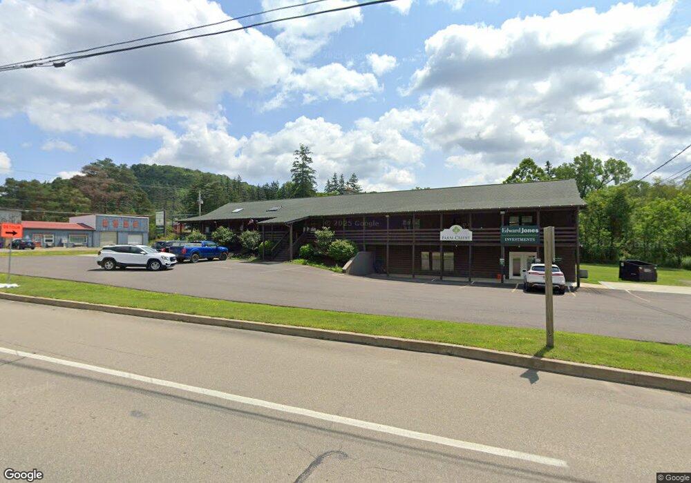
1 Buffalo St Coudersport, PA 16915
--
Bed
7
Baths
3,914
Sq Ft
1.54
Acres
About This Home
This home is located at 1 Buffalo St, Coudersport, PA 16915. 1 Buffalo St is a home located in Potter County with nearby schools including Coudersport Area Elementary School and Coudersport Area Junior/Senior High School.
Ownership History
Date
Name
Owned For
Owner Type
Purchase Details
Closed on
Oct 17, 2014
Sold by
Citizens & Northern Bank
Bought by
A & K Property Management Llc
Home Financials for this Owner
Home Financials are based on the most recent Mortgage that was taken out on this home.
Original Mortgage
$200,000
Outstanding Balance
$153,779
Interest Rate
4.18%
Mortgage Type
Commercial
Purchase Details
Closed on
Apr 7, 2010
Sold by
Sheriff County Of Potter
Bought by
Citizens & Northern Bank
Purchase Details
Closed on
Nov 17, 2005
Sold by
Szybist Charles A
Bought by
Creed Dennis A
Home Financials for this Owner
Home Financials are based on the most recent Mortgage that was taken out on this home.
Original Mortgage
$215,000
Interest Rate
6.06%
Mortgage Type
Commercial
Create a Home Valuation Report for This Property
The Home Valuation Report is an in-depth analysis detailing your home's value as well as a comparison with similar homes in the area
Home Values in the Area
Average Home Value in this Area
Purchase History
| Date | Buyer | Sale Price | Title Company |
|---|---|---|---|
| A & K Property Management Llc | $150,000 | None Available | |
| Citizens & Northern Bank | $20,664 | None Available | |
| Creed Dennis A | $284,000 | None Available |
Source: Public Records
Mortgage History
| Date | Status | Borrower | Loan Amount |
|---|---|---|---|
| Open | A & K Property Management Llc | $200,000 | |
| Previous Owner | Creed Dennis A | $215,000 |
Source: Public Records
Tax History Compared to Growth
Tax History
| Year | Tax Paid | Tax Assessment Tax Assessment Total Assessment is a certain percentage of the fair market value that is determined by local assessors to be the total taxable value of land and additions on the property. | Land | Improvement |
|---|---|---|---|---|
| 2025 | $10,209 | $110,560 | $16,560 | $94,000 |
| 2024 | $9,463 | $110,560 | $16,560 | $94,000 |
| 2023 | $9,242 | $110,560 | $16,560 | $94,000 |
| 2022 | $9,048 | $110,560 | $16,560 | $94,000 |
| 2021 | $9,048 | $110,560 | $16,560 | $94,000 |
| 2020 | $9,048 | $110,560 | $16,560 | $94,000 |
| 2019 | $9,048 | $110,560 | $16,560 | $94,000 |
| 2018 | $8,827 | $110,560 | $16,560 | $94,000 |
| 2017 | -- | $110,560 | $16,560 | $94,000 |
| 2016 | $8,717 | $110,560 | $16,560 | $94,000 |
| 2015 | -- | $110,560 | $16,560 | $94,000 |
| 2012 | -- | $110,560 | $16,560 | $94,000 |
Source: Public Records
Map
Nearby Homes
- Lot 4 Crandall St
- 32 Phoebe Ln
- 478 E 2nd St
- 230 Howards Dr
- 357 E 2nd St
- 787 Us Highway 6
- 214 Ross Glen Rd
- 201 E 2nd St
- 107 Isabella St
- 110 Howard Dr
- 00 Mystery Mountain Ln
- 306 E Oak St
- 170 Sunrise Ridge Rd
- 106 Allegany Ave
- 151 Ice Mine Rd
- 17 E 7th St
- 408 S East St
- 705 N Main St
- 705 S Main St
- 407 S West St