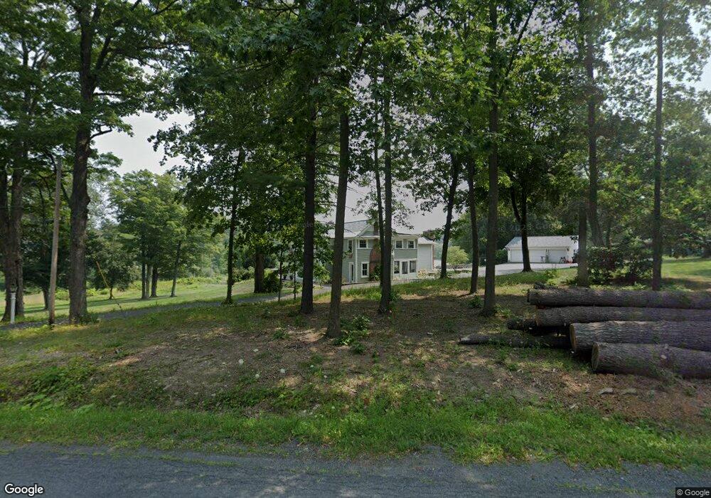
1 Bullock Rd Slingerlands, NY 12159
Estimated Value: $618,000 - $960,000
6
Beds
4
Baths
5,016
Sq Ft
$157/Sq Ft
Est. Value
About This Home
This home is located at 1 Bullock Rd, Slingerlands, NY 12159 and is currently estimated at $788,060, approximately $157 per square foot. 1 Bullock Rd is a home located in Albany County with nearby schools including Voorheesville Elementary School, Voorheesville Middle School, and Clayton A Bouton High School.
Ownership History
Date
Name
Owned For
Owner Type
Purchase Details
Closed on
Apr 29, 2005
Sold by
Disser Michael
Bought by
Vivian Timothy
Current Estimated Value
Home Financials for this Owner
Home Financials are based on the most recent Mortgage that was taken out on this home.
Original Mortgage
$82,500
Interest Rate
6.05%
Mortgage Type
Credit Line Revolving
Purchase Details
Closed on
Jun 14, 1996
Sold by
Gabriels Cynthia S
Bought by
Disser Michael A and Disser Diane L
Create a Home Valuation Report for This Property
The Home Valuation Report is an in-depth analysis detailing your home's value as well as a comparison with similar homes in the area
Home Values in the Area
Average Home Value in this Area
Purchase History
| Date | Buyer | Sale Price | Title Company |
|---|---|---|---|
| Vivian Timothy | $550,000 | Tony Arcodia | |
| Disser Michael A | $295,000 | -- |
Source: Public Records
Mortgage History
| Date | Status | Borrower | Loan Amount |
|---|---|---|---|
| Closed | Vivian Timothy | $82,500 |
Source: Public Records
Tax History Compared to Growth
Tax History
| Year | Tax Paid | Tax Assessment Tax Assessment Total Assessment is a certain percentage of the fair market value that is determined by local assessors to be the total taxable value of land and additions on the property. | Land | Improvement |
|---|---|---|---|---|
| 2024 | $16,704 | $567,600 | $56,000 | $511,600 |
| 2023 | $16,254 | $567,600 | $56,000 | $511,600 |
| 2022 | $16,082 | $567,600 | $56,000 | $511,600 |
| 2021 | $15,887 | $567,600 | $56,000 | $511,600 |
| 2020 | $15,822 | $567,600 | $56,000 | $511,600 |
| 2019 | $12,686 | $567,600 | $56,000 | $511,600 |
| 2018 | $15,843 | $567,600 | $56,000 | $511,600 |
| 2017 | $0 | $567,600 | $56,000 | $511,600 |
| 2016 | $14,926 | $567,600 | $56,000 | $511,600 |
| 2015 | -- | $567,600 | $56,000 | $511,600 |
| 2014 | -- | $567,600 | $56,000 | $511,600 |
Source: Public Records
Map
Nearby Homes
- 190 Diamond Hill Rd
- 432 Clipp Rd
- 156 Crow Ridge Rd
- 152 Crow Ridge Rd
- 47 Tekakwitha Rd
- 92 Rock City Rd
- 19 Youmans Rd
- L17 Crow Ridge Rd
- L23.2 Unionville Feura Bush Rd
- 38 Capricorn Ln
- 212 Deerfield Ct
- 2 Verda Ave
- L23 Maple Rd
- 5 Hart Terrace
- 68 Castle Rd
- 10 Gailes Dr
- 24 Forest Dr
- 4 Ponderosa Dr
- L53 Tarrytown Rd
- 43 Maple Rd
- 2 Bullock Rd
- 2 Bullock Rd
- 423 Bullock Rd
- 2D Bullock Rd
- 420 Bullock Rd
- 392 Bullock Rd
- 409 Bullock Rd
- 3D Bullock Rd
- 221 Orchard Hill Rd
- 377 Bullock Rd
- 224 Orchard Hill Rd
- 433 Bullock Rd
- 209 Orchard Hill Rd
- 425 Bullock Rd
- 425 Bullock Rd
- 425 A Bullock Rd
- 371 Bullock Rd
- 210 Orchard Hill Rd
- 367 Bullock Rd
- 196 Diamond Hill Rd