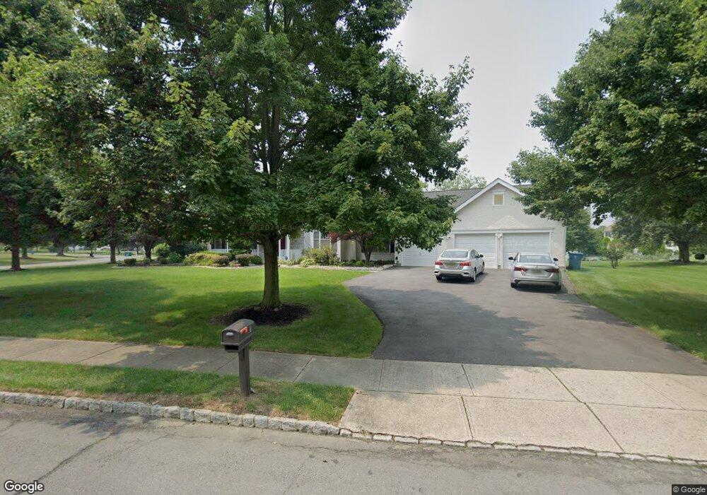
1 Bunting Ln Cranbury, NJ 08512
Estimated Value: $1,294,000 - $1,361,000
5
Beds
3
Baths
3,178
Sq Ft
$416/Sq Ft
Est. Value
About This Home
This home is located at 1 Bunting Ln, Cranbury, NJ 08512 and is currently estimated at $1,323,312, approximately $416 per square foot. 1 Bunting Ln is a home located in Middlesex County with nearby schools including Town Center Elementary School, Millstone River School, and Thomas R. Grover Middle School.
Ownership History
Date
Name
Owned For
Owner Type
Purchase Details
Closed on
Jun 28, 1999
Sold by
Lott Susan
Bought by
Tanner William and Tanner Janet
Current Estimated Value
Home Financials for this Owner
Home Financials are based on the most recent Mortgage that was taken out on this home.
Original Mortgage
$312,000
Outstanding Balance
$86,911
Interest Rate
7.49%
Estimated Equity
$1,236,401
Create a Home Valuation Report for This Property
The Home Valuation Report is an in-depth analysis detailing your home's value as well as a comparison with similar homes in the area
Home Values in the Area
Average Home Value in this Area
Purchase History
| Date | Buyer | Sale Price | Title Company |
|---|---|---|---|
| Tanner William | $390,000 | -- |
Source: Public Records
Mortgage History
| Date | Status | Borrower | Loan Amount |
|---|---|---|---|
| Open | Tanner William | $312,000 |
Source: Public Records
Tax History Compared to Growth
Tax History
| Year | Tax Paid | Tax Assessment Tax Assessment Total Assessment is a certain percentage of the fair market value that is determined by local assessors to be the total taxable value of land and additions on the property. | Land | Improvement |
|---|---|---|---|---|
| 2025 | $20,517 | $785,200 | $272,000 | $513,200 |
| 2024 | $20,023 | $785,200 | $272,000 | $513,200 |
| 2023 | $20,023 | $785,200 | $272,000 | $513,200 |
| 2022 | $19,716 | $785,200 | $272,000 | $513,200 |
| 2021 | $18,366 | $785,200 | $272,000 | $513,200 |
| 2020 | $18,782 | $785,200 | $272,000 | $513,200 |
| 2019 | $18,366 | $785,200 | $272,000 | $513,200 |
| 2018 | $17,706 | $774,200 | $272,000 | $502,200 |
| 2017 | $17,203 | $774,200 | $272,000 | $502,200 |
| 2016 | $16,444 | $774,200 | $272,000 | $502,200 |
| 2015 | $16,901 | $669,600 | $231,000 | $438,600 |
| 2014 | $16,733 | $669,600 | $231,000 | $438,600 |
Source: Public Records
Map
Nearby Homes
- 8 Mount Dr
- 22 Brewer Way Unit 25
- 26 Brewer Way
- 47 Brewer Way
- 45 Brewer Way
- 69 Franklin Dr
- 182 Hampshire Dr
- 9207 Tamarron Dr Unit 9207
- 8508 Tamarron Dr
- 199 Hampshire Dr
- 8408 Tamarron Dr
- Stanwyck Plan at Serenity Walk at Plainsboro
- 37 Brewer Way
- Poitier ESP Plan at Serenity Walk at Plainsboro
- 27 Brewer Way Unit 39
- Kerr Plan at Serenity Walk at Plainsboro
- 41 Brewer Way
- 43 Brewer Way
- 7703 Tamarron Dr
- 3 Monroe Ct