1 Burnham Pond Way Westford, MA 01886
Estimated Value: $1,090,000 - $1,280,000
3
Beds
5
Baths
2,634
Sq Ft
$452/Sq Ft
Est. Value
About This Home
This home is located at 1 Burnham Pond Way, Westford, MA 01886 and is currently estimated at $1,190,346, approximately $451 per square foot. 1 Burnham Pond Way is a home located in Middlesex County with nearby schools including Nabnasset Elementary, Abbot Elementary School, and Stony Brook School.
Create a Home Valuation Report for This Property
The Home Valuation Report is an in-depth analysis detailing your home's value as well as a comparison with similar homes in the area
Home Values in the Area
Average Home Value in this Area
Tax History Compared to Growth
Tax History
| Year | Tax Paid | Tax Assessment Tax Assessment Total Assessment is a certain percentage of the fair market value that is determined by local assessors to be the total taxable value of land and additions on the property. | Land | Improvement |
|---|---|---|---|---|
| 2025 | $15,074 | $1,094,700 | $291,500 | $803,200 |
| 2024 | $15,074 | $1,094,700 | $291,500 | $803,200 |
| 2023 | $14,419 | $976,900 | $277,700 | $699,200 |
| 2022 | $14,116 | $875,700 | $224,000 | $651,700 |
| 2021 | $12,884 | $774,300 | $224,000 | $550,300 |
| 2020 | $3,773 | $776,000 | $224,000 | $552,000 |
| 2019 | $3,681 | $725,600 | $214,600 | $511,000 |
| 2018 | $11,590 | $716,300 | $205,300 | $511,000 |
| 2017 | $10,880 | $663,000 | $205,300 | $457,700 |
| 2016 | $10,831 | $664,500 | $205,300 | $459,200 |
Source: Public Records
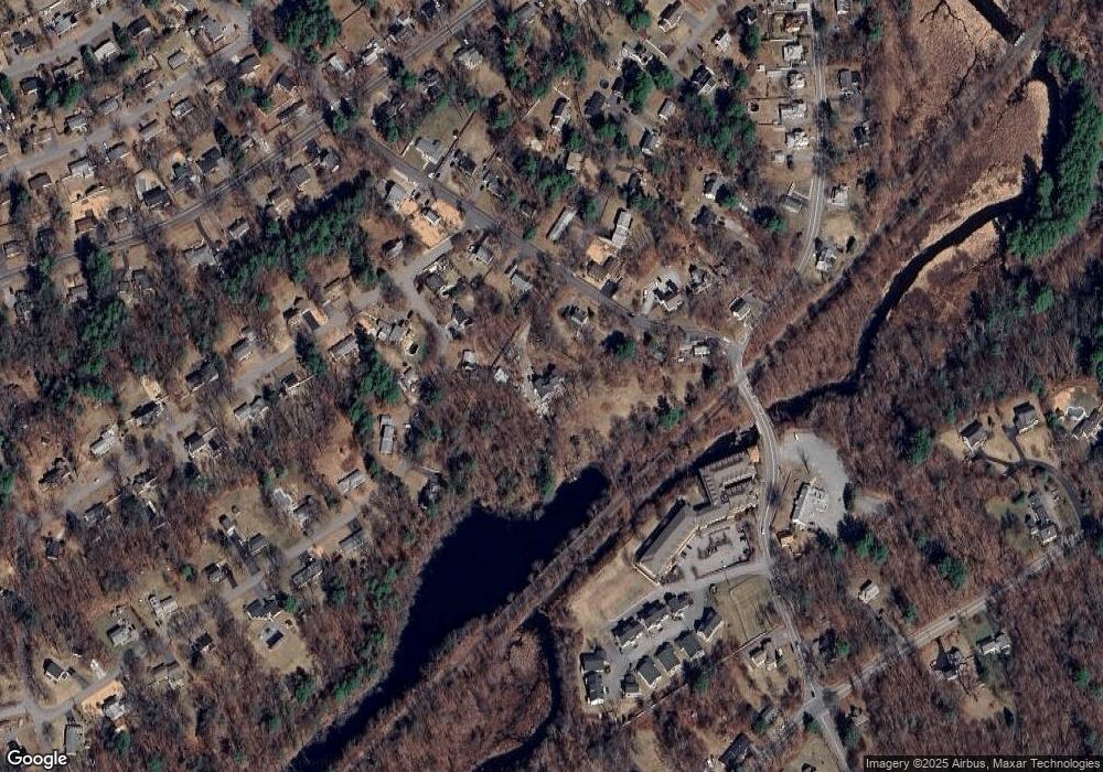
Map
Nearby Homes