1 Buttonwood Ct Moorestown, NJ 08057
Estimated Value: $1,832,974 - $2,550,000
--
Bed
--
Bath
5,848
Sq Ft
$363/Sq Ft
Est. Value
About This Home
This home is located at 1 Buttonwood Ct, Moorestown, NJ 08057 and is currently estimated at $2,122,244, approximately $362 per square foot. 1 Buttonwood Ct is a home with nearby schools including South Valley Elementary School, Moorestown Upper Elementary School, and William Allen Middle School.
Ownership History
Date
Name
Owned For
Owner Type
Purchase Details
Closed on
Feb 19, 2015
Sold by
Cornell Moorestown Limited Liability Com
Bought by
Kienzle A Paul and Kienzle Christine
Current Estimated Value
Home Financials for this Owner
Home Financials are based on the most recent Mortgage that was taken out on this home.
Original Mortgage
$400,000
Outstanding Balance
$305,349
Interest Rate
3.67%
Mortgage Type
New Conventional
Estimated Equity
$1,816,895
Create a Home Valuation Report for This Property
The Home Valuation Report is an in-depth analysis detailing your home's value as well as a comparison with similar homes in the area
Home Values in the Area
Average Home Value in this Area
Purchase History
| Date | Buyer | Sale Price | Title Company |
|---|---|---|---|
| Kienzle A Paul | $1,565,287 | First American Title Ins Co |
Source: Public Records
Mortgage History
| Date | Status | Borrower | Loan Amount |
|---|---|---|---|
| Open | Kienzle A Paul | $400,000 |
Source: Public Records
Tax History Compared to Growth
Tax History
| Year | Tax Paid | Tax Assessment Tax Assessment Total Assessment is a certain percentage of the fair market value that is determined by local assessors to be the total taxable value of land and additions on the property. | Land | Improvement |
|---|---|---|---|---|
| 2025 | $38,989 | $1,374,300 | $303,400 | $1,070,900 |
| 2024 | $37,807 | $1,374,300 | $303,400 | $1,070,900 |
| 2023 | $37,807 | $1,374,300 | $303,400 | $1,070,900 |
| 2022 | $37,422 | $1,374,300 | $303,400 | $1,070,900 |
| 2021 | $36,927 | $1,374,300 | $303,400 | $1,070,900 |
| 2020 | $36,694 | $1,374,300 | $303,400 | $1,070,900 |
| 2019 | $34,196 | $1,303,700 | $303,400 | $1,000,300 |
| 2018 | $33,270 | $1,303,700 | $303,400 | $1,000,300 |
| 2017 | $33,557 | $1,303,700 | $303,400 | $1,000,300 |
| 2016 | $33,440 | $1,303,700 | $303,400 | $1,000,300 |
| 2015 | $33,036 | $303,400 | $303,400 | $0 |
| 2014 | $7,300 | $303,400 | $303,400 | $0 |
Source: Public Records
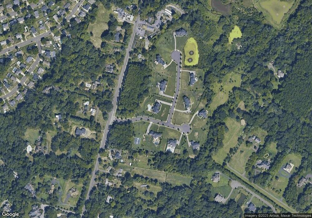
Map
Nearby Homes
- 4327 Bridgeboro Rd
- 415 Bridgeboro Rd
- 693 Garwood Rd
- 110 Kathleen Ave
- 139 Patricia Ave
- 103 Congressional Ct
- 628 Windsock Way
- 7 Whitetail Ct
- 740 Garwood Rd
- 751 Garwood Rd
- 142 Fox Chase Dr
- 164 Fox Chase Dr
- 347 Tom Brown Rd
- 0 0 Swarthmore Dr
- 700 Bentley Ct
- 343 Tom Brown Rd
- 128 Dorado Dr
- 31 Cornell Dr
- 60 Notre Dame Dr
- 342 Huntington Dr Unit 342
- 3 Buttonwood Ct
- 1 Amy Farms Ln
- 2 Buttonwood Ct
- 3 Amy Farms Ln
- 4 Buttonwood Ct
- 439 Bridgeboro Rd
- 6 Amy Farms Ln
- 5 Buttonwood Ct
- 5 Amy Farms Ln
- 450 Bridgeboro Rd
- 451 Bridgeboro Rd
- 434 Bridgeboro Rd
- 433 Bridgeboro Rd
- 437 Bridgeboro Rd
- 447 Bridgeboro Rd
- 4329 Bridgeboro Rd
- 430 Bridgeboro Rd
- 7 Buttonwood Ct
- 4325 Bridgeboro Rd
- 426 Bridgeboro Rd