1 Calumet Cir Mendon, MA 01756
Estimated Value: $913,000 - $1,252,832
4
Beds
3
Baths
4,196
Sq Ft
$259/Sq Ft
Est. Value
About This Home
This home is located at 1 Calumet Cir, Mendon, MA 01756 and is currently estimated at $1,087,458, approximately $259 per square foot. 1 Calumet Cir is a home located in Worcester County with nearby schools including Nipmuc Regional High School, Bethany Christian Academy, and Mendon Mennonite School.
Ownership History
Date
Name
Owned For
Owner Type
Purchase Details
Closed on
Oct 20, 2009
Sold by
Kimball Scott W and Kimball Stefanie L
Bought by
Kimball Scott W
Current Estimated Value
Home Financials for this Owner
Home Financials are based on the most recent Mortgage that was taken out on this home.
Original Mortgage
$143,000
Outstanding Balance
$93,662
Interest Rate
5.14%
Mortgage Type
Purchase Money Mortgage
Estimated Equity
$993,796
Purchase Details
Closed on
Mar 26, 1997
Sold by
Varney Bros Sand & Grave
Bought by
Kimball Scott W
Purchase Details
Closed on
Nov 13, 1996
Sold by
Springbrook I Rt and Tinio Damon
Bought by
Kimball Scott W
Create a Home Valuation Report for This Property
The Home Valuation Report is an in-depth analysis detailing your home's value as well as a comparison with similar homes in the area
Home Values in the Area
Average Home Value in this Area
Purchase History
| Date | Buyer | Sale Price | Title Company |
|---|---|---|---|
| Kimball Scott W | -- | -- | |
| Kimball Scott W | $22,500 | -- | |
| Kimball Scott W | $50,000 | -- | |
| Springbrook I Rt | $35,000 | -- | |
| S&M Rt | $35,000 | -- |
Source: Public Records
Mortgage History
| Date | Status | Borrower | Loan Amount |
|---|---|---|---|
| Open | S&M Rt | $30,000 | |
| Open | Kimball Scott W | $143,000 | |
| Previous Owner | S&M Rt | $145,000 |
Source: Public Records
Tax History Compared to Growth
Tax History
| Year | Tax Paid | Tax Assessment Tax Assessment Total Assessment is a certain percentage of the fair market value that is determined by local assessors to be the total taxable value of land and additions on the property. | Land | Improvement |
|---|---|---|---|---|
| 2025 | $16,277 | $1,215,600 | $243,100 | $972,500 |
| 2024 | $12,819 | $935,000 | $233,800 | $701,200 |
| 2023 | $12,365 | $846,900 | $208,600 | $638,300 |
| 2022 | $12,032 | $780,800 | $203,200 | $577,600 |
| 2021 | $11,676 | $695,400 | $197,100 | $498,300 |
| 2020 | $11,269 | $672,800 | $197,100 | $475,700 |
| 2019 | $10,995 | $656,800 | $191,400 | $465,400 |
| 2018 | $10,826 | $638,300 | $191,400 | $446,900 |
| 2017 | $10,851 | $611,300 | $191,400 | $419,900 |
| 2016 | $10,557 | $612,000 | $194,500 | $417,500 |
| 2015 | $9,580 | $598,400 | $194,500 | $403,900 |
| 2014 | $9,199 | $574,200 | $188,500 | $385,700 |
Source: Public Records
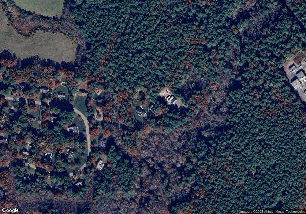
Map
Nearby Homes
- 20 Thayer Rd
- 111 Providence St
- 17 Colonial Dr
- 50 Hartford Ave E
- 25 Ashkins Dr
- 93 Providence St Unit B
- 8 Puffer Dr
- 23 Bens Way
- 123-125 Mendon St
- 25 Bens Way
- 222 Blackstone St
- 370 S Main St
- 0 Hartford Ave
- 185 Elm St
- 183 Elm St Unit 185
- 10 Wesley Dr
- 13 Blackstone St
- 6 Mellen St
- 0 North St Unit 73440626
- 1099 S Main St
- 2 Calumet Cir
- 20 King Philip Path
- 18 King Philip Path
- 22 King Philip Path
- 16 King Philip Path
- 21 King Philip Path
- 15 King Philip Path
- 24 King Philip Path
- 14 King Philip Path
- 25 King Philip Path
- 13 King Philip Path
- 26 King Philip Path
- 12 King Philip Path
- 27 King Philip Path
- 44 Massasoit Way
- 11 King Philip Path
- 28 King Philip Path
- 28 Massasoit Way
- 12 Massasoit Way
- 10 King Philip Path