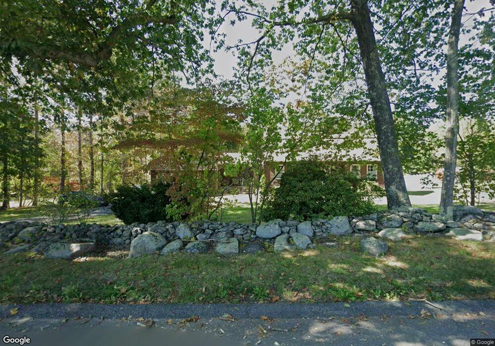
1 Campground Rd West Boylston, MA 01583
Estimated Value: $526,770 - $582,000
3
Beds
3
Baths
1,740
Sq Ft
$320/Sq Ft
Est. Value
About This Home
This home is located at 1 Campground Rd, West Boylston, MA 01583 and is currently estimated at $556,443, approximately $319 per square foot. 1 Campground Rd is a home located in Worcester County with nearby schools including Major Edwards Elementary School and West Boylston Junior/Senior High School.
Ownership History
Date
Name
Owned For
Owner Type
Purchase Details
Closed on
Jul 21, 2008
Sold by
Buck Bruce W
Bought by
Buck Kevin E
Current Estimated Value
Purchase Details
Closed on
Oct 12, 2006
Sold by
Buck Bruce W and Buck Mary T
Bought by
Buck Bruce W
Create a Home Valuation Report for This Property
The Home Valuation Report is an in-depth analysis detailing your home's value as well as a comparison with similar homes in the area
Home Values in the Area
Average Home Value in this Area
Purchase History
| Date | Buyer | Sale Price | Title Company |
|---|---|---|---|
| Buck Kevin E | -- | -- | |
| Buck Bruce W | -- | -- | |
| Buck Kevin E | -- | -- | |
| Buck Bruce W | -- | -- |
Source: Public Records
Mortgage History
| Date | Status | Borrower | Loan Amount |
|---|---|---|---|
| Previous Owner | Buck Bruce W | $20,000 |
Source: Public Records
Tax History Compared to Growth
Tax History
| Year | Tax Paid | Tax Assessment Tax Assessment Total Assessment is a certain percentage of the fair market value that is determined by local assessors to be the total taxable value of land and additions on the property. | Land | Improvement |
|---|---|---|---|---|
| 2025 | $63 | $452,100 | $115,700 | $336,400 |
| 2024 | $5,576 | $377,300 | $115,700 | $261,600 |
| 2023 | $5,612 | $360,200 | $114,200 | $246,000 |
| 2022 | $5,597 | $316,600 | $114,200 | $202,400 |
| 2021 | $1,827 | $285,500 | $105,700 | $179,800 |
| 2020 | $5,136 | $276,400 | $105,700 | $170,700 |
| 2019 | $5,057 | $268,300 | $105,700 | $162,600 |
| 2018 | $3,204 | $245,300 | $105,700 | $139,600 |
| 2017 | $4,615 | $245,500 | $105,700 | $139,800 |
| 2016 | $4,424 | $239,800 | $98,200 | $141,600 |
| 2015 | $4,381 | $238,900 | $97,300 | $141,600 |
Source: Public Records
Map
Nearby Homes
- 23 Western Ave
- 136 Sterling St Unit A3
- 18 Laurel Ave
- 15 Myrtle Ave
- 2 Lakeview Ave
- 43 Chace Hill Rd
- 20 Winthrop St
- 15 N Cove Rd
- 0 Boutelle Rd
- 16 N Main St
- 31 Cross St
- 223 Worcester Rd
- 127 N Main St
- 19 Fitch Farm Rd
- 61 Boutelle Rd
- 1 Harmony Ln Unit 4
- 2 Harmony Ln Unit 1
- 4 Jewett Rd Unit B
- 4 Jewett Rd Unit A
- 54 Maple St
- 11 Campground Rd
- 351 Lancaster St
- 357 Lancaster St
- 17 Campground Rd
- 371 Lancaster St Unit 12
- 371 Lancaster St Unit 11
- 371 Lancaster St Unit 10
- 371 Lancaster St Unit 9
- 371 Lancaster St Unit 8
- 371 Lancaster St Unit 7
- 371 Lancaster St Unit 6
- 371 Lancaster St Unit 5
- 371 Lancaster St Unit 4
- 371 Lancaster St Unit 3
- 371 Lancaster St Unit 2
- 371 Lancaster St Unit 1
- 371 Lancaster St Unit 371
- 354 Lancaster St
- 37 Campground Rd
- 30 Campground Rd