Estimated Value: $864,000 - $1,234,000
5
Beds
3
Baths
2,783
Sq Ft
$387/Sq Ft
Est. Value
About This Home
This home is located at 1 Captain Browns Ln, Acton, MA 01720 and is currently estimated at $1,077,754, approximately $387 per square foot. 1 Captain Browns Ln is a home located in Middlesex County with nearby schools including Acton-Boxborough Regional High School, Maynard Knowledge Beginnings, and The Imago School.
Ownership History
Date
Name
Owned For
Owner Type
Purchase Details
Closed on
May 16, 2002
Sold by
Schmidt Gertrude A
Bought by
Patrick Robert C and Patrick Tracy L
Current Estimated Value
Home Financials for this Owner
Home Financials are based on the most recent Mortgage that was taken out on this home.
Original Mortgage
$270,000
Outstanding Balance
$115,773
Interest Rate
7.15%
Mortgage Type
Purchase Money Mortgage
Estimated Equity
$961,981
Create a Home Valuation Report for This Property
The Home Valuation Report is an in-depth analysis detailing your home's value as well as a comparison with similar homes in the area
Home Values in the Area
Average Home Value in this Area
Purchase History
| Date | Buyer | Sale Price | Title Company |
|---|---|---|---|
| Patrick Robert C | $257,500 | -- | |
| Patrick Robert C | $257,500 | -- |
Source: Public Records
Mortgage History
| Date | Status | Borrower | Loan Amount |
|---|---|---|---|
| Open | Patrick Robert C | $270,000 |
Source: Public Records
Tax History
| Year | Tax Paid | Tax Assessment Tax Assessment Total Assessment is a certain percentage of the fair market value that is determined by local assessors to be the total taxable value of land and additions on the property. | Land | Improvement |
|---|---|---|---|---|
| 2025 | $15,660 | $913,100 | $380,700 | $532,400 |
| 2024 | $14,658 | $879,300 | $380,700 | $498,600 |
| 2023 | $14,282 | $813,300 | $346,000 | $467,300 |
| 2022 | $13,520 | $695,100 | $300,800 | $394,300 |
| 2021 | $13,188 | $651,900 | $278,400 | $373,500 |
| 2020 | $12,443 | $646,700 | $278,400 | $368,300 |
| 2019 | $12,188 | $629,200 | $278,400 | $350,800 |
| 2018 | $11,981 | $618,200 | $278,400 | $339,800 |
| 2017 | $11,678 | $612,700 | $278,400 | $334,300 |
| 2016 | $11,463 | $596,100 | $278,400 | $317,700 |
| 2015 | $11,215 | $588,700 | $278,400 | $310,300 |
| 2014 | $10,591 | $544,500 | $278,400 | $266,100 |
Source: Public Records
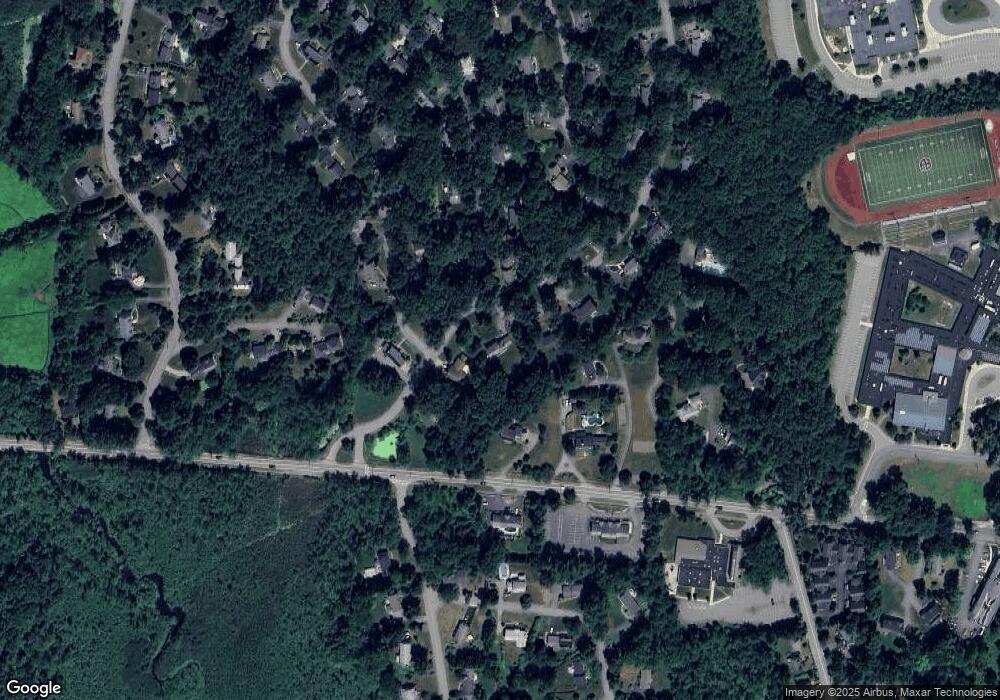
Map
Nearby Homes
- 20 Joseph Reed Ln
- 246 Main St Unit 2
- 235 Arlington St
- 7 Kelley Rd
- 79 Charter Rd
- 5 Perkins Ln
- 184 Main St Unit 3
- 18 Hayward Rd
- 92 Willow St Unit 3
- 92 Willow St Unit 2
- 90 Willow St Unit 1
- 25 Nylander Way
- 129 Main St Unit 129
- 131 Main St
- 11 Braebrook
- 46 Taylor Rd
- 4 Littlefield Rd
- 60 Nashoba Rd
- 70 River St
- 40 High St
- 5 Deacon Hunt Dr
- 3 Captain Browns Ln
- 4 Captain Browns Ln
- 469 Massachusetts Ave
- 9 Deacon Hunt Dr
- 8 Deacon Hunt Dr
- 477 Massachusetts Ave
- 3 Deacon Hunt Dr
- 5 Captain Browns Ln
- 10 Deacon Hunt Dr
- 2 Joseph Reed Ln
- 467 Massachusetts Ave
- 6 Captain Browns Ln
- 3 Joseph Reed Ln
- 11 Deacon Hunt Dr
- 4 Joseph Reed Ln
- 7 Captain Browns Ln
- 478 Massachusetts Ave
- 12 Deacon Hunt Dr
- 4 Cedar Terrace
Your Personal Tour Guide
Ask me questions while you tour the home.