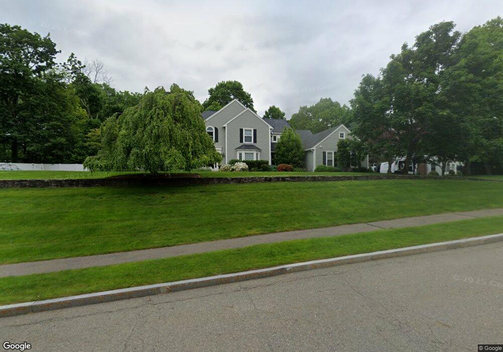
1 Carberry Ln Milton, MA 02186
Estimated Value: $2,030,000 - $2,869,000
5
Beds
6
Baths
5,584
Sq Ft
$429/Sq Ft
Est. Value
About This Home
This home is located at 1 Carberry Ln, Milton, MA 02186 and is currently estimated at $2,396,277, approximately $429 per square foot. 1 Carberry Ln is a home located in Norfolk County with nearby schools including Milton High School, Academy of the Pacific Rim Charter Public School, and Thacher Montessori School.
Ownership History
Date
Name
Owned For
Owner Type
Purchase Details
Closed on
Aug 20, 2010
Sold by
Theder Rick and Theder Susan
Bought by
Solimini Mark J and Solimini Nicole L
Current Estimated Value
Home Financials for this Owner
Home Financials are based on the most recent Mortgage that was taken out on this home.
Original Mortgage
$465,000
Outstanding Balance
$308,806
Interest Rate
4.63%
Mortgage Type
Purchase Money Mortgage
Estimated Equity
$2,087,471
Purchase Details
Closed on
Jun 18, 2001
Sold by
Mcgonagle Fisher Ft
Bought by
Theder Rick and Theder Susan
Purchase Details
Closed on
May 5, 1998
Sold by
Wood Daniel W
Bought by
Mcgonagle Fisher Ft
Purchase Details
Closed on
Feb 20, 1996
Sold by
Zurk Tr Daniel R
Bought by
Wood Daniel R
Create a Home Valuation Report for This Property
The Home Valuation Report is an in-depth analysis detailing your home's value as well as a comparison with similar homes in the area
Home Values in the Area
Average Home Value in this Area
Purchase History
| Date | Buyer | Sale Price | Title Company |
|---|---|---|---|
| Solimini Mark J | $1,215,000 | -- | |
| Theder Rick | $1,075,000 | -- | |
| Mcgonagle Fisher Ft | $660,000 | -- | |
| Wood Daniel R | $575,000 | -- |
Source: Public Records
Mortgage History
| Date | Status | Borrower | Loan Amount |
|---|---|---|---|
| Open | Solimini Mark J | $465,000 | |
| Previous Owner | Wood Daniel R | $765,000 | |
| Previous Owner | Wood Daniel R | $805,000 |
Source: Public Records
Tax History Compared to Growth
Tax History
| Year | Tax Paid | Tax Assessment Tax Assessment Total Assessment is a certain percentage of the fair market value that is determined by local assessors to be the total taxable value of land and additions on the property. | Land | Improvement |
|---|---|---|---|---|
| 2025 | $20,764 | $1,872,300 | $643,800 | $1,228,500 |
| 2024 | $20,209 | $1,850,600 | $613,400 | $1,237,200 |
| 2023 | $20,326 | $1,783,000 | $584,200 | $1,198,800 |
| 2022 | $18,996 | $1,523,300 | $584,200 | $939,100 |
| 2021 | $19,343 | $1,473,200 | $567,200 | $906,000 |
| 2020 | $19,230 | $1,465,700 | $561,700 | $904,000 |
| 2019 | $18,756 | $1,423,100 | $545,400 | $877,700 |
| 2018 | $18,178 | $1,316,300 | $441,400 | $874,900 |
| 2017 | $17,016 | $1,254,900 | $420,300 | $834,600 |
| 2016 | $16,772 | $1,242,400 | $420,300 | $822,100 |
| 2015 | $17,242 | $1,236,900 | $387,200 | $849,700 |
Source: Public Records
Map
Nearby Homes
- 61 Wolcott Woods Ln Unit 61
- 69 Wolcott Woods Ln Unit 69
- 59 Wolcott Woods Ln Unit 59
- 53 Wolcott Woods Ln Unit 53
- 1421 Canton Ave
- 1386 Canton Ave
- 3 Stone Bridge Ln
- 1255 Brush Hill Rd
- 149 Green St
- 375 Atherton St
- 37 Lawton St
- 45 Woodmere Dr Unit 45
- 723 Blue Hill Ave
- 5 Cranmore Rd
- 228 Neponset Valley Pkwy
- 14 Woodmere Dr Unit 14
- 55 Badger Rd
- 1916 Hyde Park Ave
- 15 Yuill Cir Unit 4
- 15 Yuill Cir Unit 1