1 Carls Rd Lake Ozark, MI 65049
Estimated Value: $324,000 - $517,000
--
Bed
1
Bath
907
Sq Ft
$509/Sq Ft
Est. Value
About This Home
This home is located at 1 Carls Rd, Lake Ozark, MI 65049 and is currently estimated at $461,955, approximately $509 per square foot. 1 Carls Rd is a home located in Miller County with nearby schools including Heritage Elementary School, Osage Upper Elementary School, and Osage Middle School.
Ownership History
Date
Name
Owned For
Owner Type
Purchase Details
Closed on
Jul 16, 2010
Sold by
Bolin Willaim J
Bought by
Andreano Young Connor A and Schmitt Jan M
Current Estimated Value
Home Financials for this Owner
Home Financials are based on the most recent Mortgage that was taken out on this home.
Original Mortgage
$95,850
Outstanding Balance
$63,884
Interest Rate
4.78%
Mortgage Type
New Conventional
Estimated Equity
$398,071
Purchase Details
Closed on
Oct 28, 2009
Sold by
Reese Dennis and Reese Jane Elizabeth
Bought by
Lakeshore Holdings & Development Llc
Purchase Details
Closed on
Jun 17, 2009
Sold by
Mcgrath John K
Bought by
Reese Dennis and Reese Jane Elizabeth
Purchase Details
Closed on
Mar 29, 2006
Sold by
Kraft Kevin
Bought by
Bolin William J
Home Financials for this Owner
Home Financials are based on the most recent Mortgage that was taken out on this home.
Original Mortgage
$56,000
Interest Rate
9.14%
Mortgage Type
Adjustable Rate Mortgage/ARM
Create a Home Valuation Report for This Property
The Home Valuation Report is an in-depth analysis detailing your home's value as well as a comparison with similar homes in the area
Home Values in the Area
Average Home Value in this Area
Purchase History
| Date | Buyer | Sale Price | Title Company |
|---|---|---|---|
| Andreano Young Connor A | -- | None Available | |
| Lakeshore Holdings & Development Llc | -- | None Available | |
| Reese Dennis | -- | None Available | |
| Bolin William J | -- | First Title Ins |
Source: Public Records
Mortgage History
| Date | Status | Borrower | Loan Amount |
|---|---|---|---|
| Open | Andreano Young Connor A | $95,850 | |
| Previous Owner | Bolin William J | $56,000 |
Source: Public Records
Tax History Compared to Growth
Tax History
| Year | Tax Paid | Tax Assessment Tax Assessment Total Assessment is a certain percentage of the fair market value that is determined by local assessors to be the total taxable value of land and additions on the property. | Land | Improvement |
|---|---|---|---|---|
| 2024 | $2,285 | $41,850 | $14,650 | $27,200 |
| 2023 | $2,361 | $41,850 | $14,650 | $27,200 |
| 2022 | $3,150 | $58,640 | $13,600 | $45,040 |
| 2021 | $3,150 | $58,640 | $13,600 | $45,040 |
| 2020 | $3,077 | $56,390 | $11,720 | $44,670 |
| 2019 | $3,062 | $56,390 | $11,720 | $44,670 |
| 2018 | $3,198 | $56,390 | $11,720 | $44,670 |
| 2017 | $2,897 | $58,520 | $10,740 | $47,780 |
| 2016 | $2,860 | $58,520 | $0 | $0 |
| 2015 | -- | $58,520 | $0 | $0 |
| 2012 | -- | $56,920 | $0 | $0 |
Source: Public Records
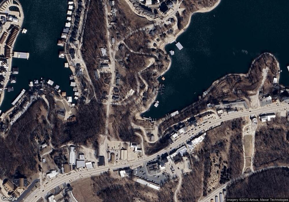
Map
Nearby Homes
- TBD Bagnell Dam Blvd
- 182 Havens Place Dr Unit 2D
- 182 Havens Place Dr Unit 4H
- TBD Deepwater Dr
- 1468 School Rd
- 275 Flynn Rd Unit 304
- 275 Flynn Rd Unit 105
- 275 Flynn Rd Unit 207
- 275 Flynn Rd Unit 205
- 493 Highline Rd
- 980 Eagle Dr
- 378 Highline Rd
- 80 Willow Ridge Point Unit 3A
- 106 Willow Ridge Point Unit 3A
- 31 Willow Ridge Point Unit 4A
- Lot 6 Horseshoe Bend Pkwy
- Lot 5 Horseshoe Bend Pkwy
- 23 Willow Ridge Point Unit 3B
- 133 Polar Bear Cir Unit 21
- 342 N Port Dr Unit 342