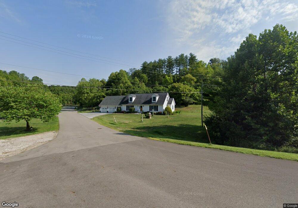
1 Carol Ln Athens, OH 45701
Estimated Value: $207,000 - $302,138
2
Beds
2
Baths
1,660
Sq Ft
$145/Sq Ft
Est. Value
About This Home
This home is located at 1 Carol Ln, Athens, OH 45701 and is currently estimated at $240,285, approximately $144 per square foot. 1 Carol Ln is a home with nearby schools including Morrison-Gordon Elementary School, Athens Middle School, and Athens High School.
Ownership History
Date
Name
Owned For
Owner Type
Purchase Details
Closed on
Aug 2, 2022
Sold by
Mccune Dianne L and Mccune Harry L
Bought by
Mccune Dianne L and Mccune Harry L
Current Estimated Value
Purchase Details
Closed on
Apr 2, 2018
Sold by
Wingett Rosale C
Bought by
Mccune Dianne L
Home Financials for this Owner
Home Financials are based on the most recent Mortgage that was taken out on this home.
Original Mortgage
$104,000
Interest Rate
4.45%
Mortgage Type
New Conventional
Purchase Details
Closed on
Oct 31, 2012
Sold by
Wingett Rosalie C and Trust Agreement Of Charles G W
Bought by
Wingett Rosalie C and 2012 Rosalie C Wingett Family
Purchase Details
Closed on
Jan 26, 2009
Sold by
Wingett Charles G and Wingett Rosalie C
Bought by
Wingett Charles G and Wingett Rosalie C
Purchase Details
Closed on
Mar 1, 1989
Create a Home Valuation Report for This Property
The Home Valuation Report is an in-depth analysis detailing your home's value as well as a comparison with similar homes in the area
Home Values in the Area
Average Home Value in this Area
Purchase History
| Date | Buyer | Sale Price | Title Company |
|---|---|---|---|
| Mccune Dianne L | -- | None Listed On Document | |
| Mccune Dianne L | $130,050 | Secure Title Services | |
| Wingett Rosalie C | -- | Attorney | |
| Wingett Charles G | -- | Attorney | |
| -- | $10,000 | -- |
Source: Public Records
Mortgage History
| Date | Status | Borrower | Loan Amount |
|---|---|---|---|
| Previous Owner | Mccune Dianne L | $104,000 |
Source: Public Records
Tax History Compared to Growth
Tax History
| Year | Tax Paid | Tax Assessment Tax Assessment Total Assessment is a certain percentage of the fair market value that is determined by local assessors to be the total taxable value of land and additions on the property. | Land | Improvement |
|---|---|---|---|---|
| 2024 | $5,879 | $70,410 | $10,230 | $60,180 |
| 2023 | $3,663 | $70,410 | $10,230 | $60,180 |
| 2022 | $3,012 | $54,980 | $9,740 | $45,240 |
| 2021 | $3,024 | $54,980 | $9,740 | $45,240 |
| 2020 | $2,957 | $54,980 | $9,740 | $45,240 |
| 2019 | $2,893 | $53,410 | $8,400 | $45,010 |
| 2018 | $2,926 | $53,410 | $8,400 | $45,010 |
| 2017 | $780 | $8,400 | $8,400 | $0 |
| 2016 | $522 | $8,400 | $8,400 | $0 |
| 2015 | $823 | $8,400 | $8,400 | $0 |
| 2014 | $823 | $8,400 | $8,400 | $0 |
| 2013 | $802 | $8,400 | $8,400 | $0 |
Source: Public Records
Map
Nearby Homes
- 15 Angela Dr
- 31 Angela Dr
- 50 Westfield Place
- 9822 Hooper Rd
- 8700 Stagecoach Rd
- 4 Larson's Way
- 0 Larson's Way Unit 2431585
- 7265 Beechwood Dr
- 7165 E Beechwood Dr
- 43 Pomeroy Rd
- 3 Farhills Dr
- 7930 Rolling Hills Rd
- 0 Elliotsville Rd
- 68 Leoda Rd
- 8181 Dairy Ln
- 130 Longview Heights Rd
- 5610 Fullview Heights Dr
- 49 Curtis St
- 255 Estates Dr
- 19 Park Lane Dr