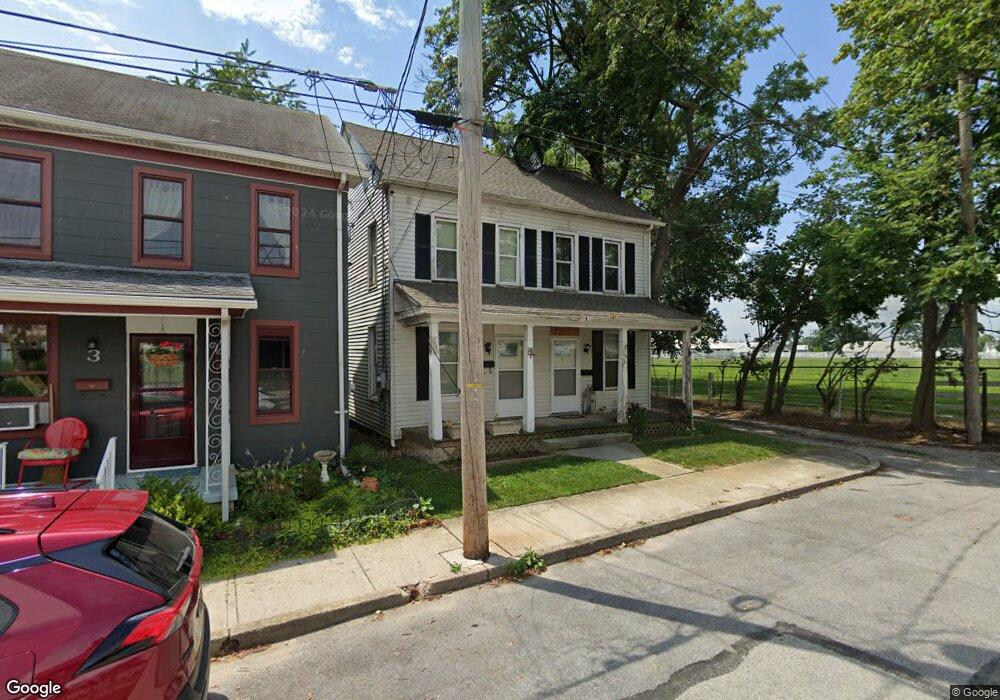
1 Charles Ave Hanover, PA 17331
Estimated Value: $192,255 - $253,000
4
Beds
2
Baths
1,284
Sq Ft
$177/Sq Ft
Est. Value
About This Home
This home is located at 1 Charles Ave, Hanover, PA 17331 and is currently estimated at $226,814, approximately $176 per square foot. 1 Charles Ave is a home located in York County with nearby schools including South Western Senior High School and Delone Catholic High School.
Ownership History
Date
Name
Owned For
Owner Type
Purchase Details
Closed on
Sep 4, 2020
Sold by
Sensenig Wesley L
Bought by
Sensenig Real Estate Llc
Current Estimated Value
Home Financials for this Owner
Home Financials are based on the most recent Mortgage that was taken out on this home.
Original Mortgage
$71,250
Outstanding Balance
$63,346
Interest Rate
3%
Mortgage Type
Future Advance Clause Open End Mortgage
Estimated Equity
$163,468
Purchase Details
Closed on
Nov 1, 1991
Sold by
Wineberg Michael Shane
Bought by
Sensenig Wesley L
Purchase Details
Closed on
Dec 1, 1986
Bought by
Wineberg Michael Shane
Create a Home Valuation Report for This Property
The Home Valuation Report is an in-depth analysis detailing your home's value as well as a comparison with similar homes in the area
Home Values in the Area
Average Home Value in this Area
Purchase History
| Date | Buyer | Sale Price | Title Company |
|---|---|---|---|
| Sensenig Real Estate Llc | -- | Black Abstract Inc | |
| Sensenig Wesley L | $75,000 | -- | |
| Wineberg Michael Shane | $59,500 | -- |
Source: Public Records
Mortgage History
| Date | Status | Borrower | Loan Amount |
|---|---|---|---|
| Open | Sensenig Real Estate Llc | $71,250 |
Source: Public Records
Tax History
| Year | Tax Paid | Tax Assessment Tax Assessment Total Assessment is a certain percentage of the fair market value that is determined by local assessors to be the total taxable value of land and additions on the property. | Land | Improvement |
|---|---|---|---|---|
| 2025 | $2,920 | $86,660 | $29,630 | $57,030 |
| 2024 | $2,920 | $86,660 | $29,630 | $57,030 |
| 2023 | $2,868 | $86,660 | $29,630 | $57,030 |
| 2022 | $2,807 | $86,660 | $29,630 | $57,030 |
| 2021 | $2,654 | $86,660 | $29,630 | $57,030 |
| 2020 | $2,654 | $86,660 | $29,630 | $57,030 |
| 2019 | $2,602 | $86,660 | $29,630 | $57,030 |
| 2018 | $2,568 | $86,660 | $29,630 | $57,030 |
| 2017 | $2,509 | $86,660 | $29,630 | $57,030 |
| 2016 | $0 | $86,660 | $29,630 | $57,030 |
| 2015 | -- | $86,660 | $29,630 | $57,030 |
| 2014 | -- | $86,660 | $29,630 | $57,030 |
Source: Public Records
Map
Nearby Homes
- 120 Charles Ave
- 547 Mcallister St
- 583 Mcallister St
- 538 York St
- 146 Pleasant St
- 421 Charles Ave
- 566 Baer Ave
- 12 Oneill Ave
- 55 Wilmar Ave Unit 12
- 517 Charles Ave
- 249 York St
- 18 Beck Mill Rd
- 300 Baer Ave
- 103 Overlook Dr
- 101 Overlook Dr
- 139 Mussetta St
- 621 Spring Ave
- 610 Spring Ave
- 117 Baltimore St
- 209 Centennial Ave
Your Personal Tour Guide
Ask me questions while you tour the home.