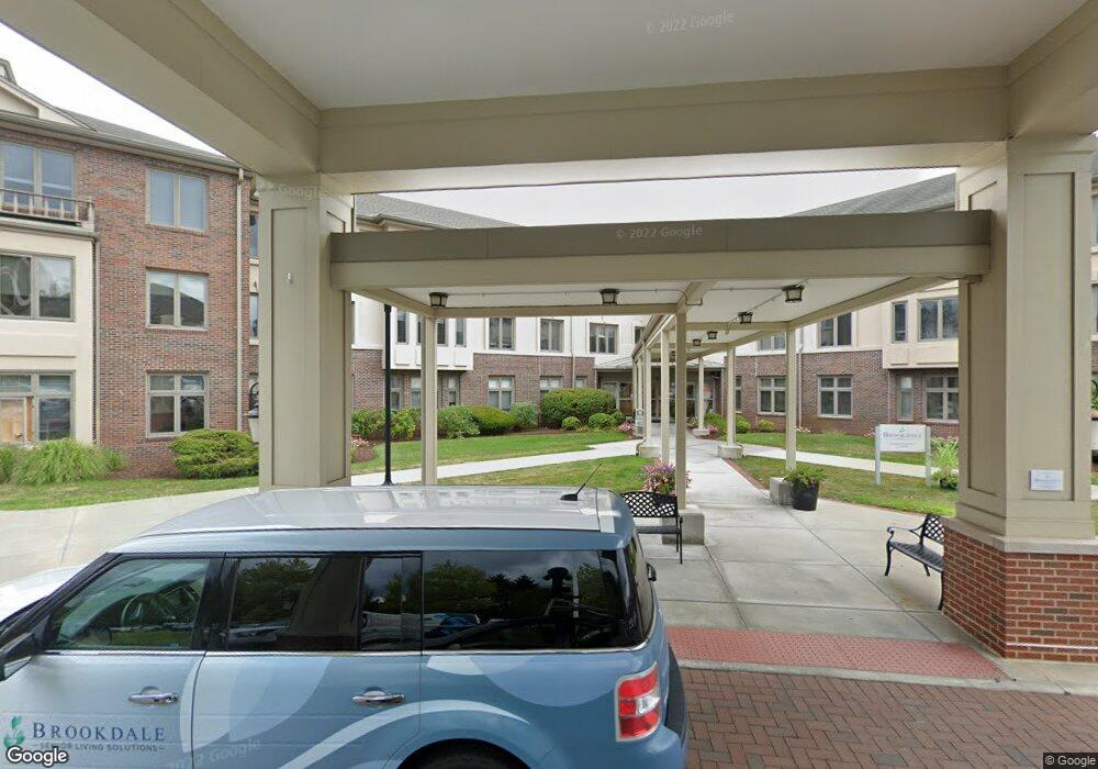
1 Chatfield Dr West Hartford, CT 06110
1
Bed
1
Bath
131,861
Sq Ft
130
Acres
About This Home
This home is located at 1 Chatfield Dr, West Hartford, CT 06110. 1 Chatfield Dr is a home located in Hartford County with nearby schools including Wolcott School, Sedgwick Middle School, and Conard High School.
Ownership History
Date
Name
Owned For
Owner Type
Purchase Details
Closed on
Feb 5, 2001
Sold by
Country Hme Prtnrs Llc
Bought by
Gaetano Sandra
Home Financials for this Owner
Home Financials are based on the most recent Mortgage that was taken out on this home.
Original Mortgage
$323,100
Interest Rate
7.88%
Mortgage Type
Commercial
Purchase Details
Closed on
Jul 2, 1998
Sold by
Chatfield Lp
Bought by
Chatfield Business T
Create a Home Valuation Report for This Property
The Home Valuation Report is an in-depth analysis detailing your home's value as well as a comparison with similar homes in the area
Home Values in the Area
Average Home Value in this Area
Purchase History
| Date | Buyer | Sale Price | Title Company |
|---|---|---|---|
| Gaetano Sandra | $360,000 | -- | |
| Chatfield Business T | $16,597,000 | -- |
Source: Public Records
Mortgage History
| Date | Status | Borrower | Loan Amount |
|---|---|---|---|
| Open | Chatfield Business T | $292,000 | |
| Closed | Chatfield Business T | $36,500 | |
| Closed | Chatfield Business T | $323,100 |
Source: Public Records
Tax History Compared to Growth
Tax History
| Year | Tax Paid | Tax Assessment Tax Assessment Total Assessment is a certain percentage of the fair market value that is determined by local assessors to be the total taxable value of land and additions on the property. | Land | Improvement |
|---|---|---|---|---|
| 2025 | $510,626 | $11,403,000 | $1,498,000 | $9,905,000 |
| 2024 | $482,917 | $11,403,000 | $1,498,000 | $9,905,000 |
| 2023 | $466,611 | $11,403,000 | $1,498,000 | $9,905,000 |
| 2022 | $463,874 | $11,403,000 | $1,498,000 | $9,905,000 |
| 2021 | $631,134 | $14,878,220 | $1,348,200 | $13,530,020 |
| 2020 | $621,910 | $14,878,220 | $1,348,200 | $13,530,020 |
| 2019 | $621,910 | $14,878,220 | $1,348,200 | $13,530,020 |
| 2018 | $610,007 | $14,878,220 | $1,348,200 | $13,530,020 |
| 2017 | $610,602 | $14,878,220 | $1,348,200 | $13,530,020 |
| 2016 | $396,684 | $10,040,100 | $1,348,200 | $8,691,900 |
| 2015 | $344,990 | $9,005,220 | $819,000 | $8,186,220 |
| 2014 | $336,525 | $9,005,220 | $819,000 | $8,186,220 |
Source: Public Records
Map
Nearby Homes
- 25 Fowler Dr
- 43 Burnham Dr
- 1 Valley Crest Dr
- 24 Thorne Rd Unit 24
- 479 S Main St
- 32 Miles Standish Dr
- 42 Avery Rd
- 422 S Main St
- 18 Federal St
- 281 South Rd
- 34 Sandhurst Dr
- 107 Westgate St
- 16 Thornton Dr
- 61 Colonial St
- 305 Hampton Ct
- 228 Reservoir Rd
- 148 Colonial St
- 49 Somerset St
- 39 Cortland St
- 123 Grove St