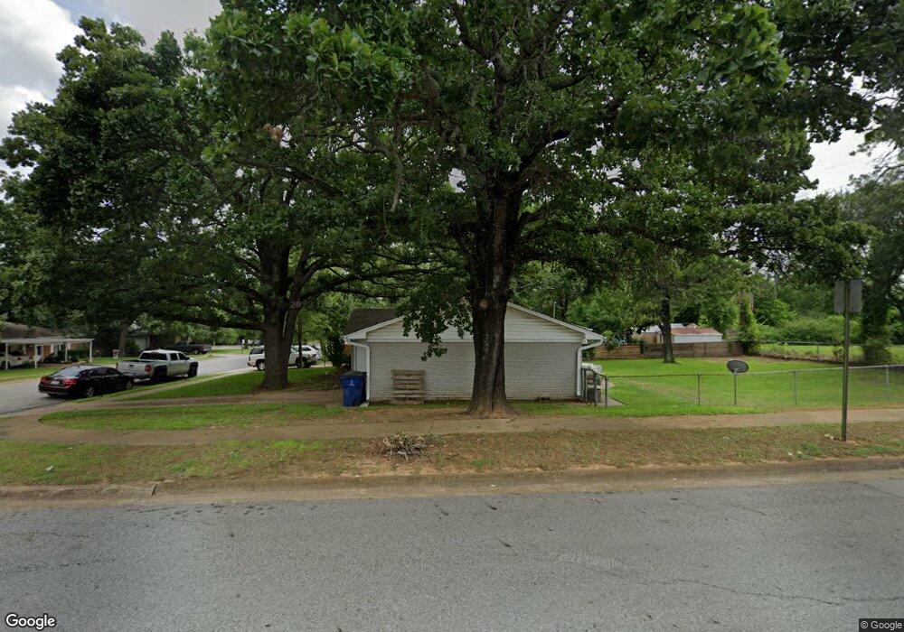
1 Circle Dr Denison, TX 75021
Estimated Value: $164,670 - $175,000
Studio
--
Bath
1,027
Sq Ft
$165/Sq Ft
Est. Value
About This Home
This home is located at 1 Circle Dr, Denison, TX 75021 and is currently estimated at $169,835, approximately $165 per square foot. 1 Circle Dr is a home located in Grayson County with nearby schools including Lamar Elementary School, Scott Middle School, and Denison High School.
Ownership History
Date
Name
Owned For
Owner Type
Purchase Details
Closed on
Nov 13, 2007
Sold by
Stewart Coooper B and Stewart William R
Bought by
Harrelson Haley D
Current Estimated Value
Home Financials for this Owner
Home Financials are based on the most recent Mortgage that was taken out on this home.
Original Mortgage
$76,030
Outstanding Balance
$48,155
Interest Rate
6.4%
Mortgage Type
Purchase Money Mortgage
Estimated Equity
$121,681
Purchase Details
Closed on
Mar 23, 2006
Sold by
Oaken Bucket Properties Llc
Bought by
Stewart Cooper B and Stewart William R
Home Financials for this Owner
Home Financials are based on the most recent Mortgage that was taken out on this home.
Original Mortgage
$39,000
Interest Rate
6.78%
Mortgage Type
Purchase Money Mortgage
Purchase Details
Closed on
Jul 8, 2005
Sold by
Hitchery Lawrence W
Bought by
Hitchery Mccoy
Purchase Details
Closed on
Jul 5, 2005
Sold by
Mckinney Steven Andrew
Bought by
Hitchery Lawrence W
Create a Home Valuation Report for This Property
The Home Valuation Report is an in-depth analysis detailing your home's value as well as a comparison with similar homes in the area
Home Values in the Area
Average Home Value in this Area
Purchase History
| Date | Buyer | Sale Price | Title Company |
|---|---|---|---|
| Harrelson Haley D | -- | Red River Title Co | |
| Stewart Cooper B | -- | Red River Title Co | |
| Hitchery Mccoy | -- | -- | |
| Hitchery Lawrence W | -- | -- |
Source: Public Records
Mortgage History
| Date | Status | Borrower | Loan Amount |
|---|---|---|---|
| Open | Harrelson Haley D | $76,030 | |
| Previous Owner | Stewart Cooper B | $39,000 |
Source: Public Records
Tax History
| Year | Tax Paid | Tax Assessment Tax Assessment Total Assessment is a certain percentage of the fair market value that is determined by local assessors to be the total taxable value of land and additions on the property. | Land | Improvement |
|---|---|---|---|---|
| 2025 | $2,037 | $150,953 | $38,666 | $112,287 |
| 2024 | $3,287 | $141,462 | $0 | $0 |
| 2023 | $1,666 | $128,602 | $0 | $0 |
| 2022 | $2,778 | $116,911 | $0 | $0 |
| 2021 | $2,681 | $106,283 | $15,907 | $90,376 |
| 2020 | $2,675 | $101,424 | $15,907 | $85,517 |
| 2019 | $2,636 | $98,355 | $10,523 | $87,832 |
| 2018 | $2,416 | $87,445 | $10,523 | $76,922 |
| 2017 | $2,215 | $79,177 | $10,523 | $68,654 |
| 2016 | $2,047 | $74,948 | $10,523 | $64,425 |
Source: Public Records
Map
Nearby Homes
- 153 Circle Dr
- 125 Mark Dr
- 1917 Avenue A
- 1905 S Lamar Ave
- 1903 S Lamar Ave
- 1901 S Lamar Ave
- 2526 S Fannin Ave Unit 2600
- 2000 S Fannin Ave
- 509 W Coffin St
- 513 W Coffin St
- 501 W Collins St
- 104 E Prospect St
- 614 Rice St
- 607 W Baker St
- 1718 S Fannin Ave
- 611 W Baker St
- 618 Star St
- 108 W Acheson St
- 517 W Bullock St
- 701 W Star St
Your Personal Tour Guide
Ask me questions while you tour the home.