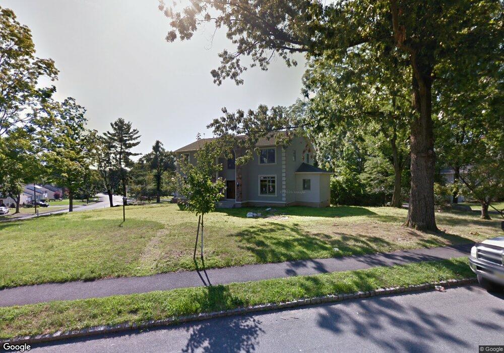
1 Cliffside Dr Livingston, NJ 07039
Estimated Value: $1,230,000 - $2,410,000
--
Bed
--
Bath
1,250
Sq Ft
$1,397/Sq Ft
Est. Value
About This Home
This home is located at 1 Cliffside Dr, Livingston, NJ 07039 and is currently estimated at $1,746,008, approximately $1,396 per square foot. 1 Cliffside Dr is a home located in Essex County with nearby schools including Livingston Sr High School and Aquinas Academy.
Ownership History
Date
Name
Owned For
Owner Type
Purchase Details
Closed on
Jan 2, 2004
Sold by
Burstein Shirley
Bought by
Sandler Albert and Sandler Maya
Current Estimated Value
Home Financials for this Owner
Home Financials are based on the most recent Mortgage that was taken out on this home.
Original Mortgage
$319,000
Outstanding Balance
$146,992
Interest Rate
5.8%
Estimated Equity
$1,599,016
Create a Home Valuation Report for This Property
The Home Valuation Report is an in-depth analysis detailing your home's value as well as a comparison with similar homes in the area
Home Values in the Area
Average Home Value in this Area
Purchase History
| Date | Buyer | Sale Price | Title Company |
|---|---|---|---|
| Sandler Albert | $410,000 | -- |
Source: Public Records
Mortgage History
| Date | Status | Borrower | Loan Amount |
|---|---|---|---|
| Open | Sandler Albert | $319,000 |
Source: Public Records
Tax History Compared to Growth
Tax History
| Year | Tax Paid | Tax Assessment Tax Assessment Total Assessment is a certain percentage of the fair market value that is determined by local assessors to be the total taxable value of land and additions on the property. | Land | Improvement |
|---|---|---|---|---|
| 2025 | $27,655 | $1,165,900 | $476,000 | $689,900 |
| 2024 | $27,655 | $1,165,900 | $476,000 | $689,900 |
| 2022 | $27,200 | $1,165,900 | $476,000 | $689,900 |
| 2021 | $26,979 | $1,165,900 | $476,000 | $689,900 |
| 2020 | $26,478 | $1,165,900 | $476,000 | $689,900 |
| 2019 | $11,406 | $436,000 | $426,000 | $10,000 |
| 2018 | $11,253 | $436,000 | $426,000 | $10,000 |
| 2017 | $11,105 | $436,000 | $426,000 | $10,000 |
| 2016 | $10,900 | $436,000 | $426,000 | $10,000 |
| 2015 | $10,739 | $436,000 | $426,000 | $10,000 |
| 2014 | $10,390 | $436,000 | $426,000 | $10,000 |
Source: Public Records
Map
Nearby Homes
- 16 Cliffside Dr
- 41 W Mcclellan Ave
- 53 Rockledge Dr
- 52 Congressional Pkwy
- 6 Mayhew Dr
- 11 Homestead Terrace
- 27 Filmore Ave
- 281 N Livingston Ave
- 44 Lincoln Ave
- 24 Garnet Terrace
- 10 Elmwood Ct
- 6 Elkin Dr
- 26 Passaic Ave
- 63 N Livingston Ave
- 518 Eagle Rock Ave
- 6 Mulford Ct Unit Address 6
- 6 Mulford Ct Unit C0013
- 45 Brandon Ave
- 13 Beverly Rd
- 3 Cliffside Dr
- 75 W Mcclellan Ave
- 7 Kinkead Dr
- 76 W Mcclellan Ave
- 78 W Mcclellan Ave
- 2 Cliffside Dr
- 74 W Mcclellan Ave
- 5 Kinkead Dr
- 5 Cliffside Dr
- 4 Cliffside Dr
- 80 W Mcclellan Ave
- 72 W Mcclellan Ave
- 3 Kinkead Dr
- 7 Locust Place
- 71 W Mcclellan Ave
- 8 Kinkead Dr
- 5 Locust Place
- 6 Kinkead Dr
- 70 W Mcclellan Ave
- 81 W Mcclellan Ave