1 Clinton Ct Whiting, NJ 08759
Estimated Value: $232,476 - $263,000
2
Beds
1
Bath
1,120
Sq Ft
$217/Sq Ft
Est. Value
About This Home
This home is located at 1 Clinton Ct, Whiting, NJ 08759 and is currently estimated at $242,619, approximately $216 per square foot. 1 Clinton Ct is a home located in Ocean County with nearby schools including Manchester Township High School.
Ownership History
Date
Name
Owned For
Owner Type
Purchase Details
Closed on
Jan 26, 2022
Sold by
Shimonis Denise L
Bought by
Jordan Francis and Jordan Holly
Current Estimated Value
Home Financials for this Owner
Home Financials are based on the most recent Mortgage that was taken out on this home.
Original Mortgage
$138,750
Outstanding Balance
$128,855
Interest Rate
3.56%
Mortgage Type
New Conventional
Estimated Equity
$113,764
Purchase Details
Closed on
May 11, 2012
Sold by
Kelaher Thomas F
Bought by
Shimonis Denise L
Create a Home Valuation Report for This Property
The Home Valuation Report is an in-depth analysis detailing your home's value as well as a comparison with similar homes in the area
Home Values in the Area
Average Home Value in this Area
Purchase History
| Date | Buyer | Sale Price | Title Company |
|---|---|---|---|
| Jordan Francis | $185,000 | Land Title | |
| Shimonis Denise L | $39,000 | Pegasus Title Agency Llc |
Source: Public Records
Mortgage History
| Date | Status | Borrower | Loan Amount |
|---|---|---|---|
| Open | Jordan Francis | $138,750 |
Source: Public Records
Tax History
| Year | Tax Paid | Tax Assessment Tax Assessment Total Assessment is a certain percentage of the fair market value that is determined by local assessors to be the total taxable value of land and additions on the property. | Land | Improvement |
|---|---|---|---|---|
| 2025 | $2,666 | $224,400 | $53,700 | $170,700 |
| 2024 | $2,481 | $108,600 | $10,400 | $98,200 |
Source: Public Records
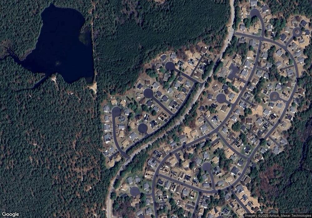
Map
Nearby Homes
- 7 Cranston Ct Unit 64
- 4 Ardsley Ave Unit 63
- 14 Berkshire Rd Unit 64
- 27 Amesbury Rd
- 27 Amesbury Rd Unit 64
- 9A Ardsley Ave Unit 64
- 8 Alpine Rd Unit C
- 10 Alpine Rd Unit 63
- 3B Alpine Rd Unit 63
- 3B Alpine Rd Unit B
- 7 Amherst Rd Unit A
- 15 Alpine Rd Unit 63
- 153A Sunset Rd
- 9A Greenwood Ln
- 6 Holyoke Ct
- 40A Stonybrook Rd Unit 62
- 7B Greenwood Ln Unit 62
- 2 Oak Tree Ct
- 1 Tara Ct
- 1B Greenwood Ln Unit B
- 1 Clinton Ct
- 2 Clinton Ct
- 7B Norwich Dr
- 7B Norwich Dr Unit B
- 7B Norwich Dr Unit A
- 7A Norwich Dr
- 3 Westbrook Ct
- 5B Norwich Dr
- 5B Norwich Dr Unit B
- 9 Clinton Ct
- 3 Clinton Ct
- 8 Clinton Ct
- 5A Norwich Dr
- 9B Norwich Dr
- 9B Norwich Dr Unit A
- 2 Westbrook Ct
- 9A Norwich Dr
- 3 Cranston Ct
- 4 Clinton Ct
- 7 Clinton Ct Unit 64
Your Personal Tour Guide
Ask me questions while you tour the home.