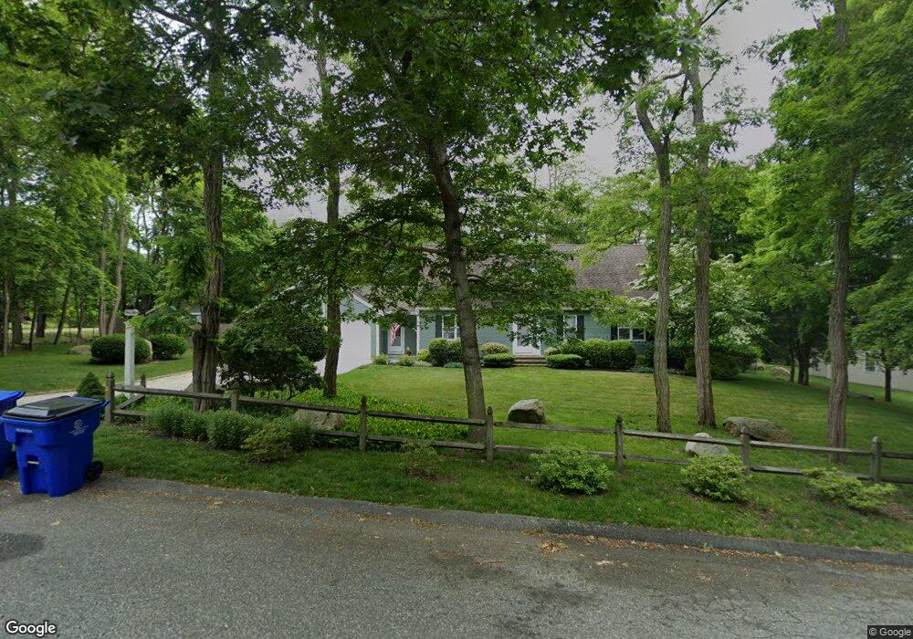
1 Coastal Way Bourne, MA 2532
Estimated Value: $806,000
2
Beds
3
Baths
1,848
Sq Ft
$436/Sq Ft
Est. Value
About This Home
This home is located at 1 Coastal Way, Bourne, MA 2532 and is currently estimated at $806,000, approximately $436 per square foot. 1 Coastal Way is a home located in Barnstable County with nearby schools including Bourne High School, St Margaret Regional School, and Cadence Academy Preschool - Bourne.
Ownership History
Date
Name
Owned For
Owner Type
Purchase Details
Closed on
Aug 23, 2017
Sold by
Mullennix Robert W
Bought by
Charles & Susan Noyes Ft
Current Estimated Value
Home Financials for this Owner
Home Financials are based on the most recent Mortgage that was taken out on this home.
Original Mortgage
$386,570
Outstanding Balance
$321,864
Interest Rate
3.88%
Mortgage Type
Adjustable Rate Mortgage/ARM
Estimated Equity
$484,136
Purchase Details
Closed on
Dec 22, 1995
Sold by
Malatos James F and Malatos Janet E
Bought by
Mullennix Robert W
Home Financials for this Owner
Home Financials are based on the most recent Mortgage that was taken out on this home.
Original Mortgage
$144,000
Interest Rate
7.33%
Mortgage Type
Purchase Money Mortgage
Create a Home Valuation Report for This Property
The Home Valuation Report is an in-depth analysis detailing your home's value as well as a comparison with similar homes in the area
Home Values in the Area
Average Home Value in this Area
Purchase History
| Date | Buyer | Sale Price | Title Company |
|---|---|---|---|
| Charles & Susan Noyes Ft | $430,000 | -- | |
| Charles & Susan Noyes Ft | $430,000 | -- | |
| Mullennix Robert W | $180,000 | -- |
Source: Public Records
Mortgage History
| Date | Status | Borrower | Loan Amount |
|---|---|---|---|
| Open | Charles & Susan Noyes Ft | $386,570 | |
| Closed | Charles & Susan Noyes Ft | $386,570 | |
| Previous Owner | Mullennix Robert W | $144,000 | |
| Previous Owner | Mullennix Robert W | $90,000 |
Source: Public Records
Tax History Compared to Growth
Tax History
| Year | Tax Paid | Tax Assessment Tax Assessment Total Assessment is a certain percentage of the fair market value that is determined by local assessors to be the total taxable value of land and additions on the property. | Land | Improvement |
|---|---|---|---|---|
| 2025 | $5,442 | $696,800 | $0 | $0 |
| 2024 | $5,322 | $663,600 | $239,000 | $424,600 |
| 2023 | $5,169 | $586,700 | $211,500 | $375,200 |
| 2022 | $4,907 | $486,300 | $187,200 | $299,100 |
| 2021 | $4,808 | $446,400 | $170,300 | $276,100 |
| 2020 | $4,526 | $421,400 | $168,700 | $252,700 |
| 2019 | $4,175 | $397,200 | $168,700 | $228,500 |
| 2018 | $3,764 | $357,100 | $160,700 | $196,400 |
| 2017 | $3,643 | $353,700 | $159,200 | $194,500 |
| 2016 | $3,528 | $347,200 | $159,200 | $188,000 |
| 2015 | $3,496 | $347,200 | $159,200 | $188,000 |
Source: Public Records
Map
Nearby Homes
- 60 Sandwich Rd
- 90-92 Sandwich Rd Unit 2
- 44 Cotuit Rd
- 90-92 Sandwich Rd Unit 9C
- 38 Old Bridge Rd
- 304 Main St
- 14 Great Rock Rd
- 85 Waterhouse Rd
- 85 Waterhouse Rd
- 46 Holt Rd
- 46 Holt Rd Unit A
- 405 Village Dr
- 405 Village Dr Unit 405
- 5 Sea Knoll Ct
- 13 Laurel Hill Ct
- 151 - 153 Main St
- 26 Carnoustie Rd
- 17 Maple St
- 1 Hollyhock Knoll Ct Unit 1
- 4 Hollyhock Knoll Ct Unit 4