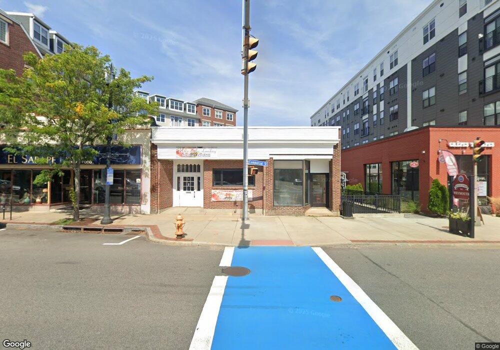
1 Commercial St Braintree, MA 02184
East Braintree NeighborhoodEstimated Value: $678,399 - $812,000
3
Beds
2
Baths
320
Sq Ft
$2,329/Sq Ft
Est. Value
About This Home
This home is located at 1 Commercial St, Braintree, MA 02184 and is currently estimated at $745,350, approximately $2,329 per square foot. 1 Commercial St is a home located in Norfolk County with nearby schools including Braintree High School, Sacred Heart Elementary School, and South Shore Christian Academy.
Ownership History
Date
Name
Owned For
Owner Type
Purchase Details
Closed on
Feb 25, 2025
Sold by
Mcdonough Janet and Amari Anthony C
Bought by
Anthony T T and Anthony Amari
Current Estimated Value
Purchase Details
Closed on
Oct 16, 1981
Bought by
Mcdonough Janet and Amari Anthony C
Create a Home Valuation Report for This Property
The Home Valuation Report is an in-depth analysis detailing your home's value as well as a comparison with similar homes in the area
Home Values in the Area
Average Home Value in this Area
Purchase History
| Date | Buyer | Sale Price | Title Company |
|---|---|---|---|
| Anthony T T | -- | None Available | |
| Anthony T T | -- | None Available | |
| Mcdonough Janet | -- | -- |
Source: Public Records
Mortgage History
| Date | Status | Borrower | Loan Amount |
|---|---|---|---|
| Previous Owner | Mcdonough Janet | $50,000 | |
| Previous Owner | Mcdonough Janet | $62,000 | |
| Previous Owner | Mcdonough Janet | $38,000 |
Source: Public Records
Tax History Compared to Growth
Tax History
| Year | Tax Paid | Tax Assessment Tax Assessment Total Assessment is a certain percentage of the fair market value that is determined by local assessors to be the total taxable value of land and additions on the property. | Land | Improvement |
|---|---|---|---|---|
| 2025 | $5,867 | $587,900 | $264,600 | $323,300 |
| 2024 | $5,359 | $565,300 | $244,500 | $320,800 |
| 2023 | $5,144 | $527,100 | $224,500 | $302,600 |
| 2022 | $5,085 | $511,100 | $208,500 | $302,600 |
| 2021 | $4,744 | $476,800 | $192,400 | $284,400 |
| 2020 | $4,576 | $464,100 | $192,400 | $271,700 |
| 2019 | $4,511 | $447,100 | $192,400 | $254,700 |
| 2018 | $4,175 | $396,100 | $152,300 | $243,800 |
| 2017 | $3,925 | $365,500 | $136,300 | $229,200 |
| 2016 | $3,728 | $339,500 | $120,300 | $219,200 |
| 2015 | $3,614 | $326,500 | $115,500 | $211,000 |
| 2014 | $3,542 | $310,200 | $115,500 | $194,700 |
Source: Public Records
Map
Nearby Homes
- 36 Brookside Rd
- 122 Washington St Unit 22
- 141 Commercial St Unit 9
- 145 Commercial St Unit 3
- 11 Richmond St
- 21 Faxon St
- 51 Faxon St
- 114 Broad St Unit D
- 114 Broad St Unit C
- 28 Webb St
- 23-25 Lindbergh Ave
- 83 Edgemont Rd
- 60 Edgehill Rd
- 16 Lindbergh Ave
- 15 Summer St
- 294 Commercial St
- 9 Vine St Unit 1
- 19 Vine St Unit 3
- 685 Union St
- 64 Arborway Dr
- 3 Commercial St
- 5 Commercial Ct
- 5 Commercial St Unit 1
- 5 Commercial St
- 4 Commercial St
- 6 Commercial St
- 30 Commercial St
- 16 Commercial St
- 32 Commercial St
- 27 Washington St
- 42 Commercial St
- 30 Commercial St
- 42 Commercial St
- 28 Commercial St Unit 6
- 28 Commercial St Unit 5
- 28 Commercial St Unit 1
- 28 Commercial St Unit 6&7
- 28 Commercial St Unit 2
- 28-42 Commerial St
- 28-42 Commercial St