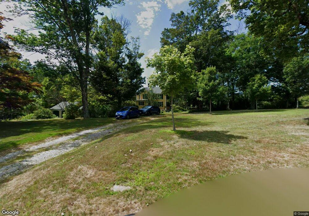
1 Common St Petersham, MA 01366
Estimated Value: $482,570 - $538,000
4
Beds
4
Baths
2,244
Sq Ft
$226/Sq Ft
Est. Value
About This Home
This home is located at 1 Common St, Petersham, MA 01366 and is currently estimated at $508,143, approximately $226 per square foot. 1 Common St is a home located in Worcester County with nearby schools including Petersham Center, Ralph C Mahar Regional School, and Petersham Montessori School.
Ownership History
Date
Name
Owned For
Owner Type
Purchase Details
Closed on
Aug 9, 1994
Sold by
Petersham Town Of
Bought by
Woolsey Henry L and Woolsey Annie B
Current Estimated Value
Home Financials for this Owner
Home Financials are based on the most recent Mortgage that was taken out on this home.
Original Mortgage
$110,000
Interest Rate
8.4%
Mortgage Type
Purchase Money Mortgage
Create a Home Valuation Report for This Property
The Home Valuation Report is an in-depth analysis detailing your home's value as well as a comparison with similar homes in the area
Home Values in the Area
Average Home Value in this Area
Purchase History
| Date | Buyer | Sale Price | Title Company |
|---|---|---|---|
| Woolsey Henry L | $1,500 | -- | |
| Woolsey Henry L | $209,000 | -- |
Source: Public Records
Mortgage History
| Date | Status | Borrower | Loan Amount |
|---|---|---|---|
| Open | Woolsey Henry L | $49,700 | |
| Closed | Woolsey Henry L | $55,000 | |
| Closed | Woolsey Henry L | $110,000 |
Source: Public Records
Tax History
| Year | Tax Paid | Tax Assessment Tax Assessment Total Assessment is a certain percentage of the fair market value that is determined by local assessors to be the total taxable value of land and additions on the property. | Land | Improvement |
|---|---|---|---|---|
| 2025 | $5,958 | $411,200 | $59,300 | $351,900 |
| 2024 | $6,069 | $424,400 | $59,300 | $365,100 |
| 2023 | $4,990 | $316,000 | $56,500 | $259,500 |
| 2022 | $4,279 | $316,000 | $56,500 | $259,500 |
| 2021 | $4,685 | $306,000 | $51,400 | $254,600 |
| 2020 | $4,944 | $284,600 | $44,500 | $240,100 |
| 2019 | $4,642 | $274,200 | $39,000 | $235,200 |
| 2018 | $4,461 | $272,500 | $37,300 | $235,200 |
| 2017 | $4,413 | $272,600 | $39,300 | $233,300 |
| 2016 | $4,476 | $272,600 | $39,300 | $233,300 |
| 2015 | $4,591 | $270,200 | $39,300 | $230,900 |
| 2014 | $4,304 | $270,200 | $39,300 | $230,900 |
Source: Public Records
Map
Nearby Homes
- 17 S Main St
- 0 Popple Camp Rd Unit 73432026
- 22 Old Hardwick Rd
- 47 Harty Dr
- 32 Edward Ln
- 21 Varney Ln
- 31 Edward Ln
- 37 Gauthier Rd
- 420 Queen Lake Rd
- 180 Petersham Rd
- 1082 Old Dana Rd
- 225 Queen Lake Rd
- 1000 West St
- 14 Jackson Ln
- 40 Jackson Ln
- 156 Vaughn Rd
- 321 Doe Valley Rd
- 0 Riceville Rd Unit 73429842
- 0 Miles Rd
- 0 Flaherty Rd
Your Personal Tour Guide
Ask me questions while you tour the home.