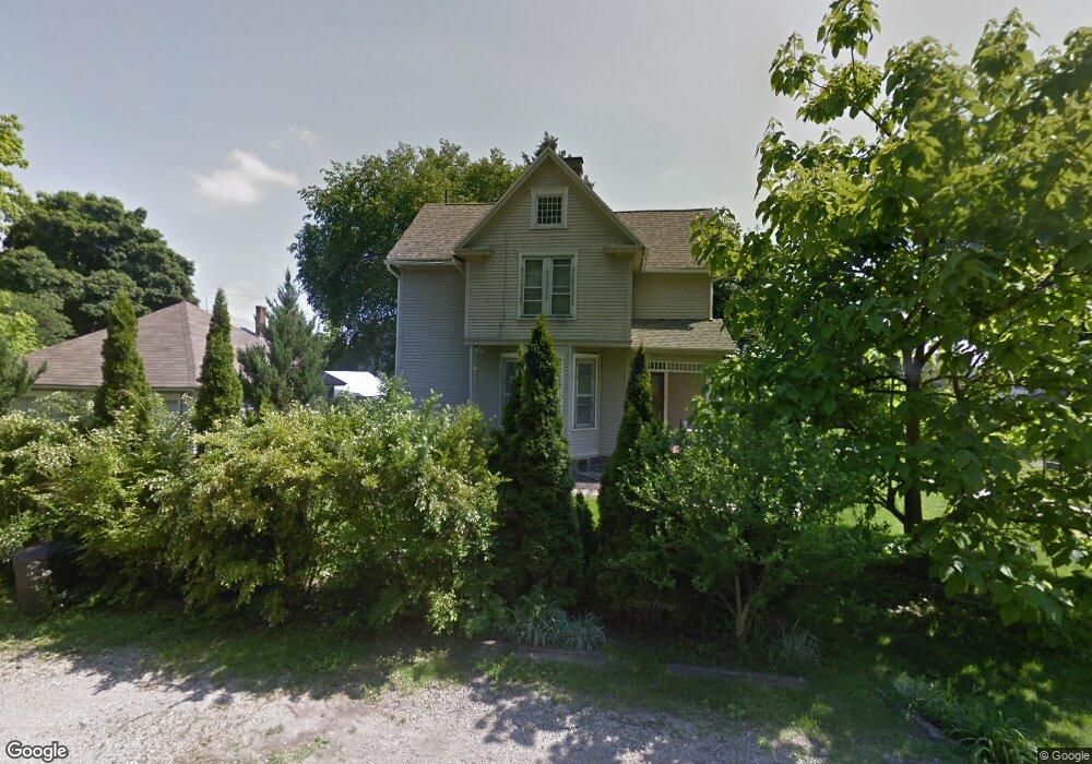
1 Constance Ct Mansfield, OH 44906
Estimated Value: $126,392 - $157,000
2
Beds
2
Baths
1,758
Sq Ft
$80/Sq Ft
Est. Value
About This Home
This home is located at 1 Constance Ct, Mansfield, OH 44906 and is currently estimated at $139,848, approximately $79 per square foot. 1 Constance Ct is a home located in Richland County with nearby schools including Goal Digital Academy, St. Peter's Elementary/Montessori School, and Discovery School.
Ownership History
Date
Name
Owned For
Owner Type
Purchase Details
Closed on
Nov 28, 1997
Sold by
Rauscher Walter C
Bought by
Troy R Meeks
Current Estimated Value
Home Financials for this Owner
Home Financials are based on the most recent Mortgage that was taken out on this home.
Original Mortgage
$44,650
Outstanding Balance
$7,701
Interest Rate
7.45%
Mortgage Type
New Conventional
Estimated Equity
$132,147
Purchase Details
Closed on
Nov 29, 1991
Sold by
Carter Marie
Bought by
Rauscher Walter C
Purchase Details
Closed on
Feb 1, 1985
Create a Home Valuation Report for This Property
The Home Valuation Report is an in-depth analysis detailing your home's value as well as a comparison with similar homes in the area
Home Values in the Area
Average Home Value in this Area
Purchase History
| Date | Buyer | Sale Price | Title Company |
|---|---|---|---|
| Troy R Meeks | $47,000 | -- | |
| Rauscher Walter C | $25,500 | -- | |
| -- | $25,000 | -- |
Source: Public Records
Mortgage History
| Date | Status | Borrower | Loan Amount |
|---|---|---|---|
| Open | Troy R Meeks | $44,650 |
Source: Public Records
Tax History
| Year | Tax Paid | Tax Assessment Tax Assessment Total Assessment is a certain percentage of the fair market value that is determined by local assessors to be the total taxable value of land and additions on the property. | Land | Improvement |
|---|---|---|---|---|
| 2024 | $1,236 | $25,810 | $7,150 | $18,660 |
| 2023 | $1,236 | $25,810 | $7,150 | $18,660 |
| 2022 | $1,055 | $18,470 | $5,810 | $12,660 |
| 2021 | $1,063 | $18,470 | $5,810 | $12,660 |
| 2020 | $1,087 | $18,470 | $5,810 | $12,660 |
| 2019 | $1,204 | $18,470 | $5,810 | $12,660 |
| 2018 | $1,189 | $18,470 | $5,810 | $12,660 |
| 2017 | $1,143 | $18,470 | $5,810 | $12,660 |
| 2016 | $1,130 | $17,500 | $5,560 | $11,940 |
| 2015 | $1,079 | $17,500 | $5,560 | $11,940 |
| 2014 | $1,065 | $17,500 | $5,560 | $11,940 |
| 2012 | $429 | $18,420 | $5,850 | $12,570 |
Source: Public Records
Map
Nearby Homes
- 71 Dawson Ave
- 126 Dawson Ave
- 108 Stewart Ave S
- 116 Stewart Ave S
- 30 Douglas Ave
- 190 Dawson Ave
- 189 Westwood Ave
- 51 Lind Ave
- 455 Marion Ave
- 38 Penn Ave
- 31 Parkwood Blvd
- 183 Carpenter Rd
- 169 Euclid Ave
- 458 W West Dickson Ave
- 135 Wood St
- 519 Heineman Blvd
- 10 Gray Ct
- 129 Fairlawn Ave
- 135 Fairlawn Ave
- 679 Coleman Rd
- 288 Marion Ave
- 282 Marion Ave
- 90 Bartley Ave
- 99 Sherman Ave
- 105 Sherman Ave
- 280 Marion Ave
- 302 Marion Ave
- 86 Bartley Ave
- 89 Sherman Ave
- 107 Sherman Ave
- 82 Bartley Ave
- 111 Sherman Ave
- 87 Bartley Ave
- 272 Marion Ave
- 70 Bartley Ave
- 73 Sherman Ave
- 310 Marion Ave
- 287 Marion Ave
- 81 Bartley Ave
- 69 Sherman Ave
Your Personal Tour Guide
Ask me questions while you tour the home.