1 Cook Ln Westport, MA 02790
Acoaxet NeighborhoodEstimated Value: $1,040,000 - $2,467,000
4
Beds
3
Baths
4,600
Sq Ft
$406/Sq Ft
Est. Value
About This Home
This home is located at 1 Cook Ln, Westport, MA 02790 and is currently estimated at $1,866,128, approximately $405 per square foot. 1 Cook Ln is a home located in Bristol County with nearby schools including Alice A. Macomber Primary School, Westport Elementary School, and Westport Middle-High School.
Ownership History
Date
Name
Owned For
Owner Type
Purchase Details
Closed on
May 17, 2019
Sold by
Knapp William J and Knapp Carol
Bought by
Knapp Carol
Current Estimated Value
Purchase Details
Closed on
Apr 14, 2016
Sold by
Chase Richard P and Chase Lucile P
Bought by
Knapp William J and Knapp Carol
Purchase Details
Closed on
Jul 30, 2003
Sold by
Chase Lucile P and Chase Richard P
Bought by
Chase Richard P
Create a Home Valuation Report for This Property
The Home Valuation Report is an in-depth analysis detailing your home's value as well as a comparison with similar homes in the area
Home Values in the Area
Average Home Value in this Area
Purchase History
| Date | Buyer | Sale Price | Title Company |
|---|---|---|---|
| Knapp Carol | -- | -- | |
| Knapp William J | $263,250 | -- | |
| Chase Richard P | -- | -- |
Source: Public Records
Tax History Compared to Growth
Tax History
| Year | Tax Paid | Tax Assessment Tax Assessment Total Assessment is a certain percentage of the fair market value that is determined by local assessors to be the total taxable value of land and additions on the property. | Land | Improvement |
|---|---|---|---|---|
| 2025 | $8,226 | $1,104,100 | $350,700 | $753,400 |
| 2024 | $6,548 | $847,100 | $324,900 | $522,200 |
| 2023 | $6,483 | $794,500 | $309,500 | $485,000 |
| 2022 | $5,552 | $722,300 | $309,500 | $412,800 |
| 2021 | $5,552 | $644,100 | $231,300 | $412,800 |
| 2020 | $5,352 | $634,900 | $222,100 | $412,800 |
| 2019 | $5,275 | $637,800 | $312,100 | $325,700 |
| 2018 | $1,869 | $228,800 | $228,800 | $0 |
| 2017 | $1,973 | $247,500 | $247,500 | $0 |
| 2016 | $2,333 | $295,000 | $295,000 | $0 |
| 2015 | $2,190 | $276,200 | $276,200 | $0 |
Source: Public Records
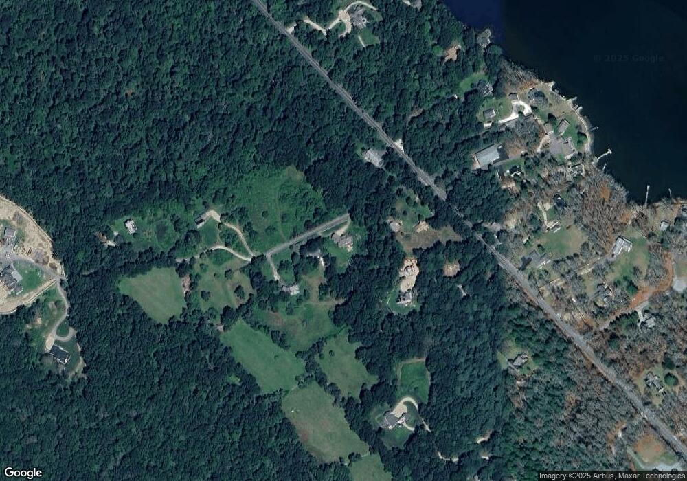
Map
Nearby Homes
- 19 Seabury Ln
- 255 John Dyer Rd
- 245 John Dyer Rd
- 1580 Main Rd
- 1749 Main Rd
- 1346 Main Rd Unit B
- 1881 Main Rd
- 17 Quail Trail
- 189 Brayton Point Rd
- 505 Long Hwy
- 304 Brayton Point Rd
- 1702J Drift Rd
- 116 Amy Hart Path
- 1702 Drift Rd
- 83 Long Hwy
- 90 Two Rod Rd
- 184 Field Stone Ln
- 101 Adamsville Rd
- 0 Willow Ave
- 128 Maple Ave
- 383 River Rd
- 5 Cook Ln Unit winter
- 383 River Rd Unit winter
- 383 River Rd Unit vacation
- 5 Cook Ln Unit 1
- 5 Cook Ln
- 5 Cook Ln Unit 5
- 21 Lana Ln Unit COOK
- 0 Cook Ln
- Lot 2 Cook Ln
- 16 Lana Ln Unit COOK
- 395 River Rd
- 401 River Rd
- 375 River Rd
- 12 Cook Ln
- 175 River Rd
- 0 Great Island River Rd Unit 30762943
- 398 River Rd
- 390 River Rd
- 19 Holly Trail