1 Covered Bridge Dr Guilford, CT 06437
Estimated Value: $658,000 - $772,000
4
Beds
3
Baths
2,394
Sq Ft
$293/Sq Ft
Est. Value
About This Home
This home is located at 1 Covered Bridge Dr, Guilford, CT 06437 and is currently estimated at $702,431, approximately $293 per square foot. 1 Covered Bridge Dr is a home located in New Haven County with nearby schools including A. Baldwin Middle School, E.C. Adams Middle School, and Guilford High School.
Ownership History
Date
Name
Owned For
Owner Type
Purchase Details
Closed on
May 15, 2002
Sold by
Bennett Frederick E and Leshane Katherine J
Bought by
Frattini Carl J and Frattini Linda S
Current Estimated Value
Home Financials for this Owner
Home Financials are based on the most recent Mortgage that was taken out on this home.
Original Mortgage
$250,000
Interest Rate
7.15%
Create a Home Valuation Report for This Property
The Home Valuation Report is an in-depth analysis detailing your home's value as well as a comparison with similar homes in the area
Home Values in the Area
Average Home Value in this Area
Purchase History
| Date | Buyer | Sale Price | Title Company |
|---|---|---|---|
| Frattini Carl J | $352,500 | -- |
Source: Public Records
Mortgage History
| Date | Status | Borrower | Loan Amount |
|---|---|---|---|
| Open | Frattini Carl J | $347,000 | |
| Closed | Frattini Carl J | $350,000 | |
| Closed | Frattini Carl J | $250,000 |
Source: Public Records
Tax History Compared to Growth
Tax History
| Year | Tax Paid | Tax Assessment Tax Assessment Total Assessment is a certain percentage of the fair market value that is determined by local assessors to be the total taxable value of land and additions on the property. | Land | Improvement |
|---|---|---|---|---|
| 2025 | $10,262 | $371,140 | $181,790 | $189,350 |
| 2024 | $9,865 | $371,140 | $181,790 | $189,350 |
| 2023 | $9,605 | $371,140 | $181,790 | $189,350 |
| 2022 | $7,948 | $239,030 | $131,160 | $107,870 |
| 2021 | $7,797 | $239,030 | $131,160 | $107,870 |
| 2020 | $7,723 | $239,030 | $131,160 | $107,870 |
| 2019 | $7,656 | $239,030 | $131,160 | $107,870 |
| 2018 | $7,477 | $239,030 | $131,160 | $107,870 |
| 2017 | $7,571 | $257,860 | $140,990 | $116,870 |
| 2016 | $7,393 | $257,860 | $140,990 | $116,870 |
| 2015 | $7,282 | $257,860 | $140,990 | $116,870 |
| 2014 | $7,071 | $257,860 | $140,990 | $116,870 |
Source: Public Records
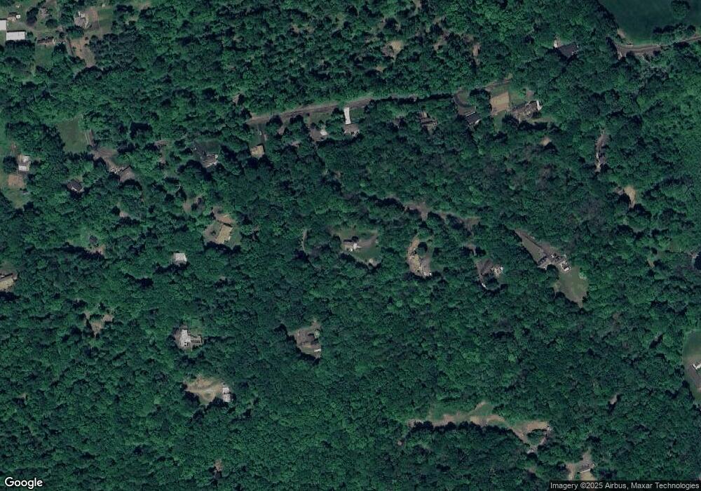
Map
Nearby Homes
- 3 Covered Bridge Dr
- 1693 Great Hill Rd
- 1711 Great Hill Rd
- 1685 Great Hill Rd
- 1681 Great Hill Rd
- 1725 Great Hill Rd
- 1669 Great Hill Rd
- 1739 Great Hill Rd
- 5 Covered Bridge Dr
- 1631 Great Hill Rd
- 1649 Great Hill Rd
- 1607 Great Hill Rd
- 1755 Great Hill Rd
- 1605 Great Hill Rd
- 7 Covered Bridge Dr
- 1609 Great Hill Rd
- 1779 Great Hill Rd
- 1615 Great Hill Rd
- 1809 Great Hill Rd
- 1601 Great Hill Rd