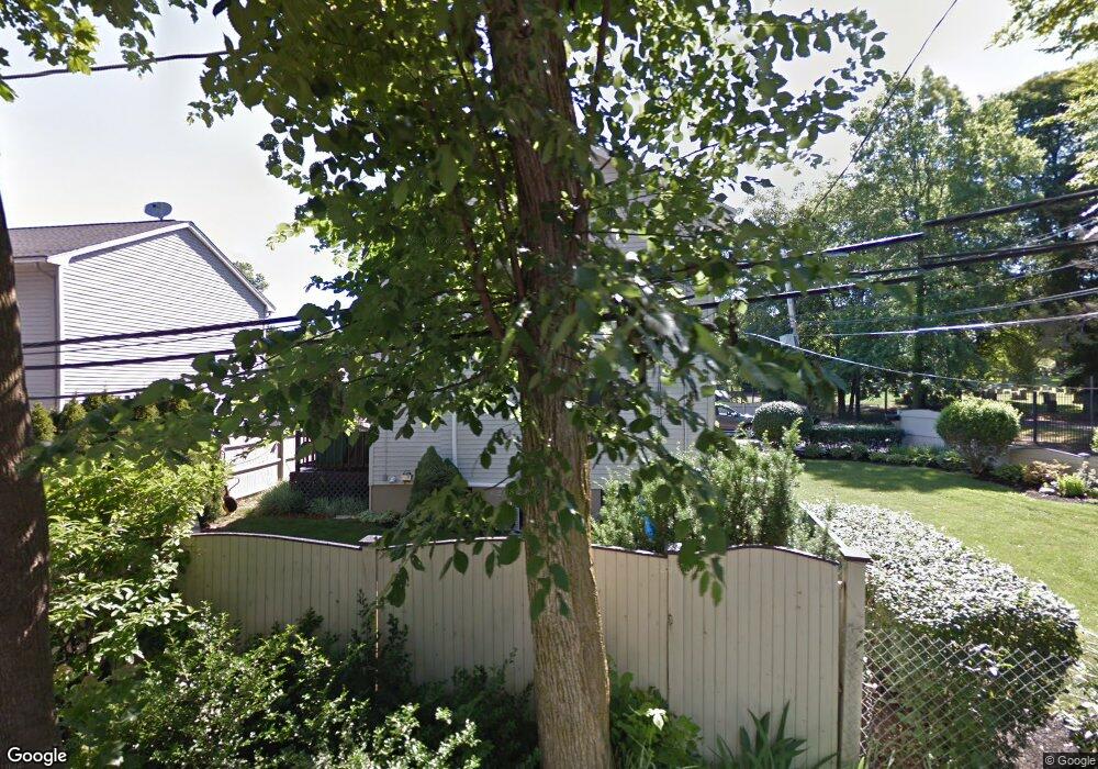
1 Curley St Roslindale, MA 02131
Roslindale NeighborhoodEstimated Value: $731,020 - $827,000
3
Beds
3
Baths
1,536
Sq Ft
$498/Sq Ft
Est. Value
About This Home
This home is located at 1 Curley St, Roslindale, MA 02131 and is currently estimated at $765,005, approximately $498 per square foot. 1 Curley St is a home located in Suffolk County with nearby schools including Brooke Charter School Roslindale, Sacred Heart STEM School, and Berea Seventh-day Adventist Academy.
Ownership History
Date
Name
Owned For
Owner Type
Purchase Details
Closed on
May 10, 1996
Sold by
Paine Rt
Bought by
Lewis Clifford N and Hentley Pamela J
Current Estimated Value
Purchase Details
Closed on
May 5, 1995
Sold by
Paine Rt
Bought by
Lewis Clifford N and Hentley Pamela J
Home Financials for this Owner
Home Financials are based on the most recent Mortgage that was taken out on this home.
Original Mortgage
$105,000
Interest Rate
8.36%
Mortgage Type
Purchase Money Mortgage
Create a Home Valuation Report for This Property
The Home Valuation Report is an in-depth analysis detailing your home's value as well as a comparison with similar homes in the area
Home Values in the Area
Average Home Value in this Area
Purchase History
| Date | Buyer | Sale Price | Title Company |
|---|---|---|---|
| Lewis Clifford N | $125,000 | -- | |
| Lewis Clifford N | $125,000 | -- |
Source: Public Records
Mortgage History
| Date | Status | Borrower | Loan Amount |
|---|---|---|---|
| Open | Lewis Clifford N | $97,500 | |
| Closed | Lewis Clifford N | $105,000 | |
| Previous Owner | Lewis Clifford N | $105,000 |
Source: Public Records
Tax History Compared to Growth
Tax History
| Year | Tax Paid | Tax Assessment Tax Assessment Total Assessment is a certain percentage of the fair market value that is determined by local assessors to be the total taxable value of land and additions on the property. | Land | Improvement |
|---|---|---|---|---|
| 2025 | $7,247 | $625,800 | $174,000 | $451,800 |
| 2024 | $7,472 | $685,500 | $166,800 | $518,700 |
| 2023 | $6,948 | $646,900 | $157,400 | $489,500 |
| 2022 | $6,399 | $588,100 | $143,100 | $445,000 |
| 2021 | $5,860 | $549,200 | $136,300 | $412,900 |
| 2020 | $4,446 | $421,000 | $126,800 | $294,200 |
| 2019 | $4,034 | $382,700 | $96,200 | $286,500 |
| 2018 | $4,011 | $382,700 | $96,200 | $286,500 |
| 2017 | $3,789 | $357,800 | $96,200 | $261,600 |
| 2016 | $3,513 | $319,400 | $96,200 | $223,200 |
| 2015 | $3,901 | $322,100 | $103,000 | $219,100 |
| 2014 | $3,576 | $284,300 | $103,000 | $181,300 |
Source: Public Records
Map
Nearby Homes
- 579 American Legion Hwy
- 577-579 American Legion Hwy
- 602 Canterbury St Unit 14
- 602 Canterbury St Unit 4
- 602 Canterbury St Unit 5
- 602 Canterbury St Unit 2
- 602 Canterbury St Unit 9
- 103 Neponset Ave Unit 103A
- 103-105 Neponset Ave
- 24 Waterman Rd
- 105 Neponset Ave Unit 105
- 8 Mount Calvary Rd Unit 4
- 71 Wyvern St
- 36 Neponset Ave Unit 1
- 32 Jewett St
- 12 Finch St Unit 12
- 50 Southbourne Rd
- 1 Finch St Unit 1
- 84 W Main St Unit 84
- 348-350 Hyde Park Ave Unit 2
- 3 Curley St
- 71 Paine St
- 89 Paine St
- 5 Curley St
- 93 Paine St
- 93 Paine St Unit 1
- 69 Paine St
- 12 Curley St
- 67 Paine St
- 7 Curley St
- 52 Paine St
- 97 Paine St
- 65 Paine St
- 688 Canterbury St
- 16 Curley St
- 698 Canterbury St
- 59 Paine St
- 600 American Legion Hwy
- 590 American Legion Hwy Unit 12
- 590 American Legion Hwy Unit 11