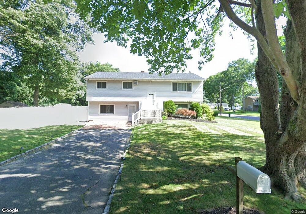
1 David Ln Port Jefferson Station, NY 11776
Estimated Value: $629,000 - $731,000
2
Beds
1
Bath
2,336
Sq Ft
$293/Sq Ft
Est. Value
About This Home
This home is located at 1 David Ln, Port Jefferson Station, NY 11776 and is currently estimated at $684,284, approximately $292 per square foot. 1 David Ln is a home located in Suffolk County with nearby schools including John F Kennedy Middle School and Comsewogue High School.
Ownership History
Date
Name
Owned For
Owner Type
Purchase Details
Closed on
Sep 21, 2017
Sold by
Schafer Robert and Schafer Michelle
Bought by
Khan Shehzadullah
Current Estimated Value
Home Financials for this Owner
Home Financials are based on the most recent Mortgage that was taken out on this home.
Original Mortgage
$280,250
Outstanding Balance
$233,524
Interest Rate
3.82%
Mortgage Type
New Conventional
Estimated Equity
$450,760
Purchase Details
Closed on
Oct 5, 2007
Sold by
Weller John
Bought by
Schafer Robert
Purchase Details
Closed on
Jan 20, 2006
Create a Home Valuation Report for This Property
The Home Valuation Report is an in-depth analysis detailing your home's value as well as a comparison with similar homes in the area
Home Values in the Area
Average Home Value in this Area
Purchase History
| Date | Buyer | Sale Price | Title Company |
|---|---|---|---|
| Khan Shehzadullah | $295,000 | -- | |
| Khan Shehzadullah | $295,000 | -- | |
| Schafer Robert | $350,000 | Moberg & Assoc | |
| Schafer Robert | $350,000 | Moberg & Assoc | |
| -- | -- | -- |
Source: Public Records
Mortgage History
| Date | Status | Borrower | Loan Amount |
|---|---|---|---|
| Open | Khan Shehzadullah | $280,250 | |
| Closed | Khan Shehzadullah | $280,250 |
Source: Public Records
Tax History Compared to Growth
Tax History
| Year | Tax Paid | Tax Assessment Tax Assessment Total Assessment is a certain percentage of the fair market value that is determined by local assessors to be the total taxable value of land and additions on the property. | Land | Improvement |
|---|---|---|---|---|
| 2024 | $13,178 | $3,100 | $275 | $2,825 |
| 2023 | $13,178 | $3,100 | $275 | $2,825 |
| 2022 | $12,057 | $3,100 | $275 | $2,825 |
| 2021 | $12,057 | $3,100 | $275 | $2,825 |
| 2020 | $12,295 | $3,100 | $275 | $2,825 |
| 2019 | $12,295 | $0 | $0 | $0 |
| 2018 | $10,648 | $3,100 | $275 | $2,825 |
| 2017 | $10,648 | $3,100 | $275 | $2,825 |
| 2016 | $10,556 | $3,100 | $275 | $2,825 |
| 2015 | -- | $3,100 | $275 | $2,825 |
| 2014 | -- | $3,100 | $275 | $2,825 |
Source: Public Records
Map
Nearby Homes
- 35 Junard Blvd
- 182 Crystal Brook Hollow Rd
- 8 Andover Dr
- 4 Patty Ann Ct
- 205 Crystal Brook Hollow Rd
- 168 Hickory St
- 19 Davis Ave
- 51 Joline Rd
- 43 Westcliff Dr
- 26 William St
- 4 Windmill Ln
- 10 Gettysburg Dr
- 3 Oliver St
- 700 Hallock Ave
- 54 Oakland Ave
- 7 Oliver St
- 17 Gettysburg Dr Unit 17
- 155 Jayne Blvd
- 33 Oakland Ave
- 97 Chestnut St