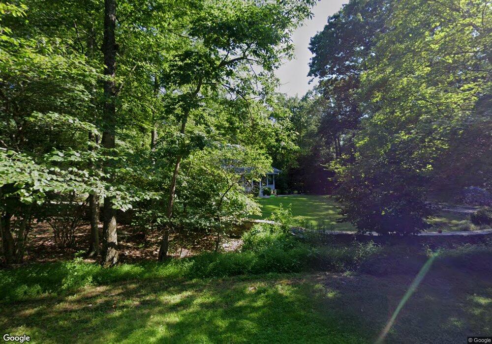
1 Davids Ln Pound Ridge, NY 10576
Estimated Value: $1,203,000 - $1,346,000
4
Beds
3
Baths
2,604
Sq Ft
$488/Sq Ft
Est. Value
About This Home
This home is located at 1 Davids Ln, Pound Ridge, NY 10576 and is currently estimated at $1,271,311, approximately $488 per square foot. 1 Davids Ln is a home located in Westchester County with nearby schools including Pound Ridge Elementary School, Fox Lane Middle School, and Fox Lane High School.
Ownership History
Date
Name
Owned For
Owner Type
Purchase Details
Closed on
May 1, 2017
Sold by
Sears Michael and Sears Deborah
Bought by
Weisbard Roxanne Deborah and Weisbard Daniel Jay
Current Estimated Value
Home Financials for this Owner
Home Financials are based on the most recent Mortgage that was taken out on this home.
Original Mortgage
$575,000
Outstanding Balance
$478,183
Interest Rate
4.1%
Mortgage Type
New Conventional
Estimated Equity
$793,128
Purchase Details
Closed on
May 1, 1998
Sold by
Povey William C and Povey Janet L
Bought by
Sears Michael and Sears Deborah
Purchase Details
Closed on
Jan 31, 1997
Sold by
Dolan Robert E and Lapointe Diane M
Bought by
Povey William C and Povey Janet L
Create a Home Valuation Report for This Property
The Home Valuation Report is an in-depth analysis detailing your home's value as well as a comparison with similar homes in the area
Home Values in the Area
Average Home Value in this Area
Purchase History
| Date | Buyer | Sale Price | Title Company |
|---|---|---|---|
| Weisbard Roxanne Deborah | $774,500 | Benchmark Title | |
| Sears Michael | $425,000 | Trw Title Insurance | |
| Povey William C | $423,780 | Chicago Title Insurance Co |
Source: Public Records
Mortgage History
| Date | Status | Borrower | Loan Amount |
|---|---|---|---|
| Open | Weisbard Roxanne Deborah | $575,000 |
Source: Public Records
Tax History Compared to Growth
Tax History
| Year | Tax Paid | Tax Assessment Tax Assessment Total Assessment is a certain percentage of the fair market value that is determined by local assessors to be the total taxable value of land and additions on the property. | Land | Improvement |
|---|---|---|---|---|
| 2024 | $18,384 | $135,300 | $36,000 | $99,300 |
| 2023 | $17,628 | $135,300 | $36,000 | $99,300 |
| 2022 | $15,724 | $135,300 | $36,000 | $99,300 |
| 2021 | $15,524 | $128,000 | $36,000 | $92,000 |
| 2020 | $15,679 | $128,000 | $36,000 | $92,000 |
| 2019 | $15,804 | $128,000 | $36,000 | $92,000 |
| 2018 | $10,294 | $128,000 | $36,000 | $92,000 |
| 2017 | $0 | $128,000 | $36,000 | $92,000 |
| 2016 | $13,889 | $128,000 | $36,000 | $92,000 |
| 2015 | -- | $128,000 | $36,000 | $92,000 |
| 2014 | -- | $128,000 | $36,000 | $92,000 |
| 2013 | -- | $128,000 | $36,000 | $92,000 |
Source: Public Records
Map
Nearby Homes
- 33 Peters Ln
- 98 Eastwoods Rd
- 17 Eastwoods Rd
- 171 Proprietors Crossing
- 176 Logan Rd
- 1421 Oenoke Ridge
- 0 Rolling Meadow Ln Unit ONEH6302491
- 119 Proprietors Crossing
- 239 Deer Hill
- 26 Pequot Ln
- 49 Indian Hill Rd
- 132 Stone Meadow
- 1247 Oenoke Ridge
- 229 Trinity Pass Rd
- 156 Stone Meadow Unit 16156
- 928 West Rd
- 18 Fox Run
- 20 Salem Rd
- 27 West Ln
- 259 Westchester Ave