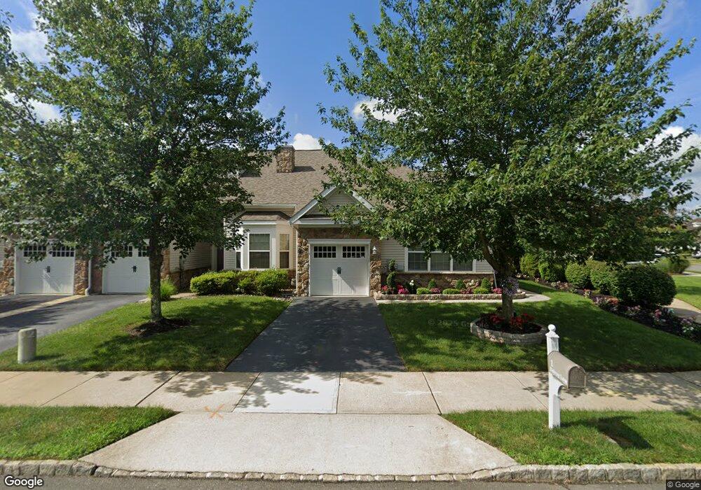
1 Delray Ln Absecon, NJ 08201
Estimated Value: $319,000 - $340,000
2
Beds
3
Baths
2,020
Sq Ft
$161/Sq Ft
Est. Value
About This Home
This home is located at 1 Delray Ln, Absecon, NJ 08201 and is currently estimated at $325,906, approximately $161 per square foot. 1 Delray Ln is a home located in Atlantic County with nearby schools including H. Ashton Marsh Elementary School, Emma C. Attales Middle School, and Life Point Academy/ Life Point Church.
Ownership History
Date
Name
Owned For
Owner Type
Purchase Details
Closed on
Jul 12, 2023
Sold by
Telyshore Llc
Bought by
Dunn Robert P and Amoroso Diane M
Current Estimated Value
Purchase Details
Closed on
Jan 24, 2006
Sold by
Beazer Homes Corp
Bought by
Telyshor Llc
Home Financials for this Owner
Home Financials are based on the most recent Mortgage that was taken out on this home.
Original Mortgage
$135,000
Interest Rate
6.34%
Purchase Details
Closed on
Oct 1, 2004
Sold by
Absecon Investors Llc
Bought by
Beazer Homes Corp
Create a Home Valuation Report for This Property
The Home Valuation Report is an in-depth analysis detailing your home's value as well as a comparison with similar homes in the area
Home Values in the Area
Average Home Value in this Area
Purchase History
| Date | Buyer | Sale Price | Title Company |
|---|---|---|---|
| Dunn Robert P | $300,000 | Surety Title | |
| Telyshor Llc | $289,913 | -- | |
| Beazer Homes Corp | $1,540,000 | Congress Title Corp |
Source: Public Records
Mortgage History
| Date | Status | Borrower | Loan Amount |
|---|---|---|---|
| Previous Owner | Telyshor Llc | $135,000 |
Source: Public Records
Tax History
| Year | Tax Paid | Tax Assessment Tax Assessment Total Assessment is a certain percentage of the fair market value that is determined by local assessors to be the total taxable value of land and additions on the property. | Land | Improvement |
|---|---|---|---|---|
| 2025 | $5,665 | $169,300 | $29,000 | $140,300 |
| 2024 | $5,665 | $169,300 | $29,000 | $140,300 |
Source: Public Records
Map
Nearby Homes
- 56 W Delray Ln
- 58 Delray Ln
- 113 Hilton Head Ct
- 129 Hilton Head Ct
- 138 Hilton Head Ct
- 318 E White Horse Pike
- 614 Ohio Ave
- 238 Huntington Dr
- 39 Theresa Ct
- 319 Vero Rd
- 315 Vero Rd
- 313 Vero Rd
- 257 Huntington Dr
- 309 Vero Rd
- 307 Vero Rd
- 260 Hermosa Dr
- 266 Hermosa Dr
- 262 Hermosa Dr
- 301 Vero Rd
- 248 Huntington Dr
Your Personal Tour Guide
Ask me questions while you tour the home.