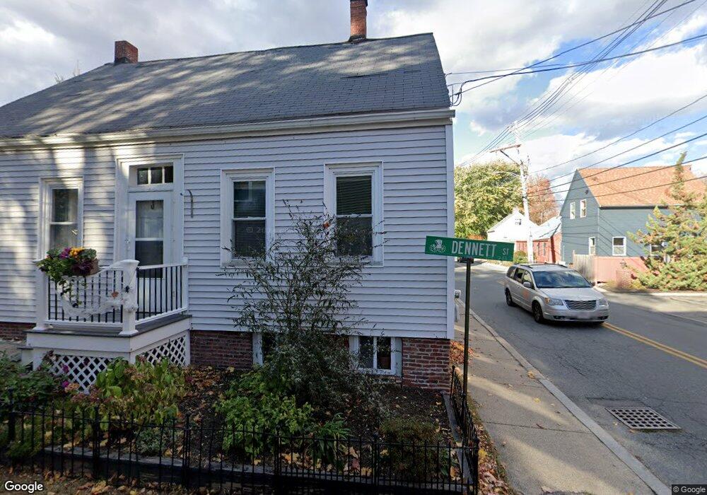
1 Dennett St Amesbury, MA 01913
Estimated Value: $552,865 - $613,000
3
Beds
2
Baths
1,488
Sq Ft
$384/Sq Ft
Est. Value
About This Home
This home is located at 1 Dennett St, Amesbury, MA 01913 and is currently estimated at $571,216, approximately $383 per square foot. 1 Dennett St is a home located in Essex County with nearby schools including Amesbury High School and Amesbury Seventh-Day Adventist School.
Ownership History
Date
Name
Owned For
Owner Type
Purchase Details
Closed on
Apr 13, 2009
Sold by
Johnson Frederick G
Bought by
Johnson Tr Frederick G
Current Estimated Value
Purchase Details
Closed on
Mar 19, 2008
Sold by
Johnson Leslie
Bought by
Johnson Frederick
Home Financials for this Owner
Home Financials are based on the most recent Mortgage that was taken out on this home.
Original Mortgage
$203,078
Interest Rate
5.72%
Create a Home Valuation Report for This Property
The Home Valuation Report is an in-depth analysis detailing your home's value as well as a comparison with similar homes in the area
Home Values in the Area
Average Home Value in this Area
Purchase History
| Date | Buyer | Sale Price | Title Company |
|---|---|---|---|
| Johnson Tr Frederick G | -- | -- | |
| Johnson Frederick | -- | -- |
Source: Public Records
Mortgage History
| Date | Status | Borrower | Loan Amount |
|---|---|---|---|
| Previous Owner | Johnson Frederick | $203,078 | |
| Previous Owner | Johnson Frederick | $148,000 |
Source: Public Records
Tax History
| Year | Tax Paid | Tax Assessment Tax Assessment Total Assessment is a certain percentage of the fair market value that is determined by local assessors to be the total taxable value of land and additions on the property. | Land | Improvement |
|---|---|---|---|---|
| 2025 | $6,625 | $433,000 | $181,500 | $251,500 |
| 2024 | $6,611 | $422,700 | $171,200 | $251,500 |
| 2023 | $5,846 | $357,800 | $148,900 | $208,900 |
| 2022 | $5,357 | $302,800 | $129,500 | $173,300 |
| 2021 | $4,909 | $269,000 | $100,000 | $169,000 |
| 2020 | $4,348 | $253,100 | $96,200 | $156,900 |
| 2019 | $4,359 | $237,300 | $96,200 | $141,100 |
| 2018 | $4,334 | $228,200 | $91,600 | $136,600 |
| 2017 | $4,191 | $210,100 | $91,600 | $118,500 |
| 2016 | $4,078 | $201,100 | $91,600 | $109,500 |
| 2015 | $4,061 | $197,700 | $91,600 | $106,100 |
| 2014 | $3,768 | $179,700 | $91,600 | $88,100 |
Source: Public Records
Map
Nearby Homes
- 8 Winter St
- 4 Clark St
- 4 Boardman St
- 27 Lake St
- 3 Tremont Ave Unit A
- 48 Orchard St
- 25 Cedar St Unit 4
- 97 Elm St
- 101 Market St Unit B
- 19 Maple St Unit 21
- 5 Russell St Unit 1
- 21 Congress St
- 1 Hillside Ave Unit 3
- 149 Market St
- 35 Huntington Ave
- 4 Greenwood St
- 21 River St
- 15 Wells Ave
- 12 Locke Hill Ln
- 253 Main St
- 3 Dennett St
- 1 Short St
- 3-5 Dennett St Unit 1
- 3-5 Dennett St Unit 2
- 3-5 Dennett St
- 5 Dennett St Unit 5
- 1 Short St Unit 1
- 1 Short St
- 20 Pond St
- 20 Pond St Unit 2
- 20 Pond St Unit 1
- 3 Short St Unit 3
- 22 Pond St Unit 2
- 22 Pond St Unit 1
- 7 Short St Unit 7
- 5 Short St
- 27 Pond St
- 6 Dennett St Unit 6
- 10 Dennett St
- 12 Dennett St Unit 12
Your Personal Tour Guide
Ask me questions while you tour the home.