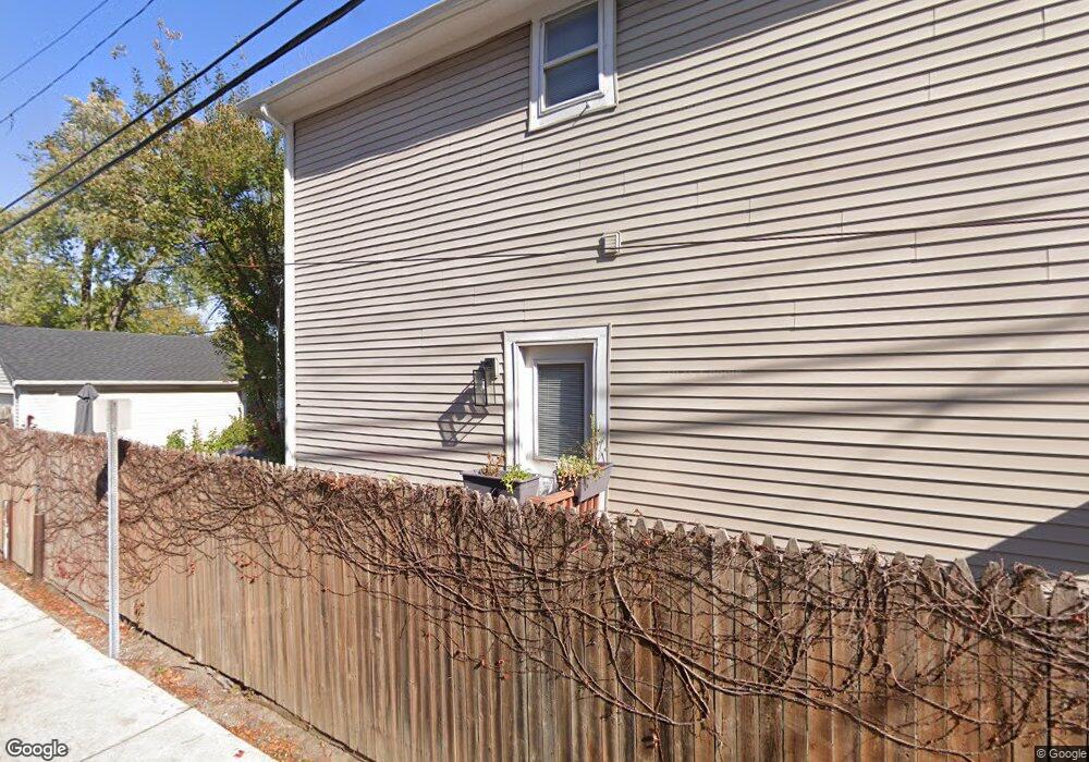
1 Devonshire Rd Pleasant Ridge, MI 48069
Estimated Value: $772,717 - $856,000
4
Beds
4
Baths
2,662
Sq Ft
$307/Sq Ft
Est. Value
About This Home
This home is located at 1 Devonshire Rd, Pleasant Ridge, MI 48069 and is currently estimated at $818,429, approximately $307 per square foot. 1 Devonshire Rd is a home located in Oakland County with nearby schools including Ferndale Lower Elementary Campus, Ferndale Upper Elementary Campus, and Ferndale Middle School.
Ownership History
Date
Name
Owned For
Owner Type
Purchase Details
Closed on
May 25, 2010
Sold by
Ellis Terrance A and Ellis Brenda S
Bought by
Us Bank National Association
Current Estimated Value
Purchase Details
Closed on
Nov 21, 1997
Sold by
Levine Group Inc
Bought by
Ellis Terrance A
Home Financials for this Owner
Home Financials are based on the most recent Mortgage that was taken out on this home.
Original Mortgage
$155,600
Interest Rate
7.45%
Create a Home Valuation Report for This Property
The Home Valuation Report is an in-depth analysis detailing your home's value as well as a comparison with similar homes in the area
Home Values in the Area
Average Home Value in this Area
Purchase History
| Date | Buyer | Sale Price | Title Company |
|---|---|---|---|
| Us Bank National Association | $247,871 | None Available | |
| Ellis Terrance A | $173,500 | -- |
Source: Public Records
Mortgage History
| Date | Status | Borrower | Loan Amount |
|---|---|---|---|
| Previous Owner | Ellis Terrance A | $155,600 |
Source: Public Records
Tax History
| Year | Tax Paid | Tax Assessment Tax Assessment Total Assessment is a certain percentage of the fair market value that is determined by local assessors to be the total taxable value of land and additions on the property. | Land | Improvement |
|---|---|---|---|---|
| 2025 | $10,072 | $422,300 | $0 | $0 |
| 2024 | $9,620 | $424,200 | $0 | $0 |
| 2023 | $9,552 | $427,800 | $0 | $0 |
| 2022 | $9,129 | $385,050 | $0 | $0 |
| 2021 | $8,738 | $375,630 | $0 | $0 |
| 2020 | $8,318 | $359,750 | $0 | $0 |
| 2019 | $8,490 | $346,150 | $0 | $0 |
| 2018 | $8,311 | $311,460 | $0 | $0 |
| 2017 | $8,174 | $314,060 | $0 | $0 |
| 2016 | $8,187 | $303,000 | $0 | $0 |
| 2015 | -- | $252,580 | $0 | $0 |
| 2014 | -- | $206,990 | $0 | $0 |
| 2011 | -- | $168,500 | $0 | $0 |
Source: Public Records
Map
Nearby Homes
- 11 Poplar Park Blvd
- 129 E Maryland Ave
- 138 Tiffany Ln Unit 90
- 129 Allenhurst Ave Unit 60
- 1439 S Main St
- 1509 Chesapeake Unit 27
- 1510 Maryland Club Dr
- 1524 Maryland Club Dr
- 1566 Maryland Club Dr
- 1530 Maryland Club Dr
- 3 Fairwood Blvd
- 24 Ridge Rd
- 127 W Parent Ave
- 201 W Parent Ave
- 81 Wellesley Dr
- 207 W Parent Ave
- 333 E Parent Ave Unit 16
- 333 E Parent Ave Unit 35
- 333 E Parent Ave Unit 10
- 202 Stonebrooke Ct
- 1 Devonshire Rd
- 3 Devonshire Rd
- 2 Kensington Blvd
- 4 Kensington Blvd
- 6 Kensington Blvd
- 8 Kensington Blvd
- 5 Devonshire Rd
- 4 Devonshire Rd
- 0 Devonshire Rd Unit 3263603
- 10 Kensington Blvd
- 6 Devonshire Rd
- 7 Devonshire Rd
- 7 Devonshire Rd
- 12 Kensington Blvd
- 1 Kensington Blvd
- 3 Kensington Blvd Unit Bldg-Unit
- 3 Kensington Blvd
- 5 Kensington Blvd
- 14 Kensington Blvd
- 7 Kensington Blvd
Your Personal Tour Guide
Ask me questions while you tour the home.