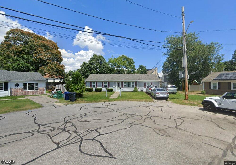
1 Dunbar Ct Warwick, RI 02886
Nausauket NeighborhoodEstimated Value: $362,000 - $384,000
3
Beds
1
Bath
988
Sq Ft
$377/Sq Ft
Est. Value
About This Home
This home is located at 1 Dunbar Ct, Warwick, RI 02886 and is currently estimated at $372,716, approximately $377 per square foot. 1 Dunbar Ct is a home located in Kent County with nearby schools including St Rose Of Lima School and Eleanor Briggs School.
Ownership History
Date
Name
Owned For
Owner Type
Purchase Details
Closed on
Sep 29, 2020
Sold by
Crisostomi Anthony F
Bought by
Crisostomi Anthony F and Crisostomi Donna
Current Estimated Value
Home Financials for this Owner
Home Financials are based on the most recent Mortgage that was taken out on this home.
Original Mortgage
$143,000
Outstanding Balance
$112,561
Interest Rate
2.9%
Mortgage Type
New Conventional
Estimated Equity
$260,155
Create a Home Valuation Report for This Property
The Home Valuation Report is an in-depth analysis detailing your home's value as well as a comparison with similar homes in the area
Home Values in the Area
Average Home Value in this Area
Purchase History
| Date | Buyer | Sale Price | Title Company |
|---|---|---|---|
| Crisostomi Anthony F | -- | None Available |
Source: Public Records
Mortgage History
| Date | Status | Borrower | Loan Amount |
|---|---|---|---|
| Open | Crisostomi Anthony F | $143,000 |
Source: Public Records
Tax History
| Year | Tax Paid | Tax Assessment Tax Assessment Total Assessment is a certain percentage of the fair market value that is determined by local assessors to be the total taxable value of land and additions on the property. | Land | Improvement |
|---|---|---|---|---|
| 2025 | $4,300 | $338,600 | $115,100 | $223,500 |
| 2024 | $4,123 | $284,900 | $96,300 | $188,600 |
| 2023 | $4,043 | $284,900 | $96,300 | $188,600 |
| 2022 | $4,010 | $214,100 | $74,300 | $139,800 |
| 2021 | $4,010 | $214,100 | $74,300 | $139,800 |
| 2020 | $4,010 | $214,100 | $74,300 | $139,800 |
| 2019 | $4,010 | $214,100 | $74,300 | $139,800 |
| 2018 | $3,409 | $163,900 | $74,300 | $89,600 |
| 2017 | $3,317 | $163,900 | $74,300 | $89,600 |
| 2016 | $3,317 | $163,900 | $74,300 | $89,600 |
| 2015 | $2,909 | $140,200 | $60,500 | $79,700 |
| 2014 | $2,812 | $140,200 | $60,500 | $79,700 |
| 2013 | $2,775 | $140,200 | $60,500 | $79,700 |
Source: Public Records
Map
Nearby Homes
- 16 Arrow Ave
- 20 Darrow Dr
- 3524 W Shore Rd Unit 215
- 0 Larkin Ave
- 15 Link St
- 3524 W Shore Road Building C-704 Rd Unit C-704
- 28 Bakers Creek Rd
- 74 Stephens Ave
- 5 Barre Ct
- 10 Cosett Rd
- 110 Tiernan Ave
- 132 Bakers Creek Rd
- 88 Child Ln
- 345 Nausauket Rd
- 107 Keystone Dr Unit 116
- 157 George Arden Ave
- 44 Westbrook Rd
- 68 Packard Ave
- 84 Spruce St
- 2907 Post Rd Unit 6
- 2 Dunbar Ct
- 23 Kylie Jillian Ct
- 29 Kylie Jillian Ct
- 15 Kylie Jillian Ct
- 39 Kylie Jillian Ct
- 15 Dunbar Ct
- 6 Dunbar Ct
- 3284 W Shore Rd
- 14 Dunbar Ct
- 3288 W Shore Rd
- 47 Kylie Jillian Ct
- 3266 W Shore Rd
- 22 Kylie Jillian Ct
- 23 Dunbar Ct
- 38 Kylie Jillian Ct
- 30 Kylie Jillian Ct
- 14 Kylie Jillian Ct
- 22 Dunbar Ct
- 30 Nausauket Rd
- 46 Kylie Jillian Ct
Your Personal Tour Guide
Ask me questions while you tour the home.