1 Dunster Ln Methuen, MA 01844
The West End NeighborhoodEstimated Value: $825,000 - $918,000
2
Beds
3
Baths
3,262
Sq Ft
$271/Sq Ft
Est. Value
About This Home
This home is located at 1 Dunster Ln, Methuen, MA 01844 and is currently estimated at $884,115, approximately $271 per square foot. 1 Dunster Ln is a home located in Essex County with nearby schools including Marsh Grammar School, South Point Elementary School, and Methuen High School.
Ownership History
Date
Name
Owned For
Owner Type
Purchase Details
Closed on
Sep 15, 2017
Sold by
Haley Ret
Bought by
Lyon Paul and Daley Susan
Current Estimated Value
Purchase Details
Closed on
Aug 4, 2008
Sold by
Silverio John L and Silverio Donna M
Bought by
Haley Rt
Purchase Details
Closed on
Oct 20, 2006
Sold by
Alcro Dev Llc
Bought by
Silverio Donna M and Silverio John L
Home Financials for this Owner
Home Financials are based on the most recent Mortgage that was taken out on this home.
Original Mortgage
$300,000
Interest Rate
6.49%
Mortgage Type
Purchase Money Mortgage
Create a Home Valuation Report for This Property
The Home Valuation Report is an in-depth analysis detailing your home's value as well as a comparison with similar homes in the area
Home Values in the Area
Average Home Value in this Area
Purchase History
| Date | Buyer | Sale Price | Title Company |
|---|---|---|---|
| Lyon Paul | $625,000 | -- | |
| Haley Rt | -- | -- | |
| Silverio Donna M | $595,000 | -- |
Source: Public Records
Mortgage History
| Date | Status | Borrower | Loan Amount |
|---|---|---|---|
| Previous Owner | Silverio Donna M | $300,000 |
Source: Public Records
Tax History Compared to Growth
Tax History
| Year | Tax Paid | Tax Assessment Tax Assessment Total Assessment is a certain percentage of the fair market value that is determined by local assessors to be the total taxable value of land and additions on the property. | Land | Improvement |
|---|---|---|---|---|
| 2025 | $8,717 | $823,900 | $0 | $823,900 |
| 2024 | $8,635 | $795,100 | $0 | $795,100 |
| 2023 | $8,375 | $715,800 | $0 | $715,800 |
| 2022 | $9,737 | $746,100 | $0 | $746,100 |
| 2021 | $8,614 | $653,100 | $0 | $653,100 |
| 2020 | $8,239 | $613,000 | $0 | $613,000 |
| 2019 | $8,307 | $585,400 | $0 | $585,400 |
| 2018 | $8,847 | $620,000 | $0 | $620,000 |
| 2017 | $7,622 | $520,300 | $0 | $520,300 |
| 2016 | $7,405 | $500,000 | $0 | $500,000 |
| 2015 | $7,014 | $480,400 | $0 | $480,400 |
Source: Public Records
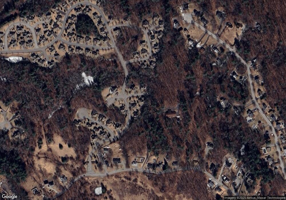
Map
Nearby Homes
- 3 Stone Castle Dr
- 3 Stone Castle Dr Unit 66
- 4 Dunster Ln
- 2 Dunster Ln
- 1 Stone Castle Dr
- 8 Stone Castle Dr
- 165 Tyler St
- 1 Hastings Cir
- 3 Hastings Cir
- 3 Hastings Cir Unit 61
- 6 Stone Castle Dr
- 6 Stone Castle Dr Unit 9
- 6 Stone Castle Dr Unit 6
- 3 Tilbury Rd
- 2 Hastings Cir
- 5 Hastings Cir
- 5 Hastings Cir Unit 60
- 4 Hastings Cir
- 4 Hastings Cir Unit 88
- 5 Tilbury Rd