Estimated Value: $642,000 - $726,000
3
Beds
2
Baths
1,240
Sq Ft
$556/Sq Ft
Est. Value
About This Home
This home is located at 1 Durkee Rd, Acton, MA 01720 and is currently estimated at $689,472, approximately $556 per square foot. 1 Durkee Rd is a home located in Middlesex County with nearby schools including Acton-Boxborough Regional High School, Maynard Knowledge Beginnings, and The Imago School.
Ownership History
Date
Name
Owned For
Owner Type
Purchase Details
Closed on
Aug 22, 2019
Sold by
Montagna Joseph J and Montagna Constance A
Bought by
Montagna Ft
Current Estimated Value
Purchase Details
Closed on
Sep 28, 1990
Sold by
Solomonwohlfiel Diane
Bought by
Gambale Kenneth M
Home Financials for this Owner
Home Financials are based on the most recent Mortgage that was taken out on this home.
Original Mortgage
$100,800
Interest Rate
9.95%
Mortgage Type
Purchase Money Mortgage
Purchase Details
Closed on
Nov 12, 1968
Bought by
Montagna Joseph J
Create a Home Valuation Report for This Property
The Home Valuation Report is an in-depth analysis detailing your home's value as well as a comparison with similar homes in the area
Home Values in the Area
Average Home Value in this Area
Purchase History
| Date | Buyer | Sale Price | Title Company |
|---|---|---|---|
| Montagna Ft | -- | -- | |
| Gambale Kenneth M | $112,000 | -- | |
| Montagna Joseph J | -- | -- |
Source: Public Records
Mortgage History
| Date | Status | Borrower | Loan Amount |
|---|---|---|---|
| Previous Owner | Montagna Joseph J | $150,000 | |
| Previous Owner | Montagna Joseph J | $100,800 | |
| Previous Owner | Montagna Joseph J | $25,000 |
Source: Public Records
Tax History
| Year | Tax Paid | Tax Assessment Tax Assessment Total Assessment is a certain percentage of the fair market value that is determined by local assessors to be the total taxable value of land and additions on the property. | Land | Improvement |
|---|---|---|---|---|
| 2025 | $10,467 | $610,300 | $313,500 | $296,800 |
| 2024 | $9,945 | $596,600 | $313,500 | $283,100 |
| 2023 | $9,493 | $540,600 | $285,100 | $255,500 |
| 2022 | $9,435 | $485,100 | $247,900 | $237,200 |
| 2021 | $9,138 | $451,700 | $229,500 | $222,200 |
| 2020 | $8,569 | $445,400 | $229,500 | $215,900 |
| 2019 | $8,068 | $416,500 | $229,500 | $187,000 |
| 2018 | $7,543 | $389,200 | $229,500 | $159,700 |
| 2017 | $7,418 | $389,200 | $229,500 | $159,700 |
| 2016 | $7,017 | $364,900 | $229,500 | $135,400 |
| 2015 | $7,056 | $370,400 | $229,500 | $140,900 |
| 2014 | $6,988 | $359,300 | $229,500 | $129,800 |
Source: Public Records
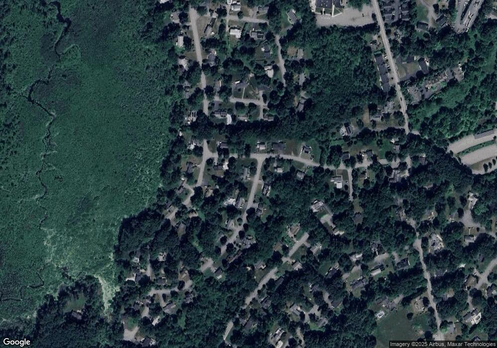
Map
Nearby Homes
- 246 Main St Unit 2
- 7 Kelley Rd
- 184 Main St Unit 3
- 20 Joseph Reed Ln
- 235 Arlington St
- 25 Nylander Way
- 90 Willow St Unit 1
- 92 Willow St Unit 3
- 92 Willow St Unit 2
- 129 Main St Unit 129
- 131 Main St
- 79 Charter Rd
- 5 Perkins Ln
- 6 Beacon Ct
- 18 Hayward Rd
- 40 High St
- 70 River St
- 11 Braebrook
- 46 Taylor Rd
- 1 Vanderbelt Rd
Your Personal Tour Guide
Ask me questions while you tour the home.