1 E Shore Dr Limerick, ME 04048
Estimated Value: $387,000 - $530,323
2
Beds
1
Bath
756
Sq Ft
$621/Sq Ft
Est. Value
About This Home
This home is located at 1 E Shore Dr, Limerick, ME 04048 and is currently estimated at $469,581, approximately $621 per square foot. 1 E Shore Dr is a home located in York County with nearby schools including Massabesic High School.
Ownership History
Date
Name
Owned For
Owner Type
Purchase Details
Closed on
Mar 25, 2022
Sold by
Cole Daniel T and Cole Kimberly A
Bought by
Cooper Timothy E
Current Estimated Value
Purchase Details
Closed on
Oct 6, 2008
Sold by
Allen Michael S and Buchanan Joann M
Bought by
Cole Daniel T and Cole Kimberly A
Create a Home Valuation Report for This Property
The Home Valuation Report is an in-depth analysis detailing your home's value as well as a comparison with similar homes in the area
Home Values in the Area
Average Home Value in this Area
Purchase History
| Date | Buyer | Sale Price | Title Company |
|---|---|---|---|
| Cooper Timothy E | $265,000 | None Available | |
| Cooper Timothy E | $265,000 | None Available | |
| Cooper Timothy E | $265,000 | None Available | |
| Cole Daniel T | -- | -- | |
| Cole Daniel T | -- | -- |
Source: Public Records
Tax History
| Year | Tax Paid | Tax Assessment Tax Assessment Total Assessment is a certain percentage of the fair market value that is determined by local assessors to be the total taxable value of land and additions on the property. | Land | Improvement |
|---|---|---|---|---|
| 2025 | $4,768 | $501,920 | $380,516 | $121,404 |
| 2024 | $4,768 | $501,920 | $380,516 | $121,404 |
| 2023 | $4,478 | $294,588 | $211,813 | $82,775 |
| 2022 | $3,581 | $252,191 | $205,562 | $46,629 |
| 2021 | $3,349 | $201,753 | $164,450 | $37,303 |
| 2020 | $3,309 | $201,753 | $164,450 | $37,303 |
| 2019 | $3,178 | $201,753 | $164,450 | $37,303 |
| 2018 | $3,258 | $201,753 | $164,450 | $37,303 |
| 2017 | $3,178 | $201,753 | $164,450 | $37,303 |
| 2016 | $3,036 | $201,753 | $164,450 | $37,303 |
| 2015 | $2,946 | $201,753 | $164,450 | $37,303 |
| 2014 | $2,855 | $201,753 | $164,450 | $37,303 |
Source: Public Records
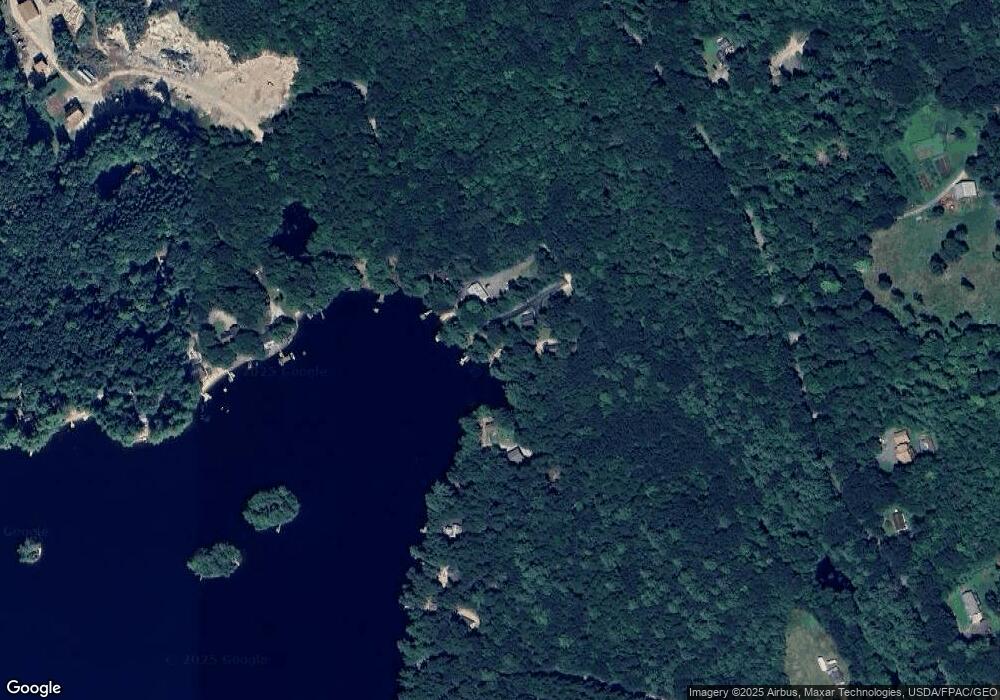
Map
Nearby Homes
- 24 Emery Corner Rd
- 71 Quarry Rd
- 148 Washington St Unit A
- 5 Wescott St
- 33 Maple St
- 16 Whiteley Rd
- 0 Quarry Rd
- Lot 11 Quarry Rd
- 110 Pleasant Hill Rd
- 14 Pleasant Hill Rd
- 1882 North Rd
- Lot 7 Prokey Dr
- LOT# 8 Business Park Rd
- Lot# 11 Business Park Rd
- 4 Deer Crossing Rd
- 33 Arrowhead Ln
- 1783 North Rd
- 6 Moose Dr
- 8 & 40 Durgin Farm Rd
- 0 Stone Hill Rd
- 38 N Shore Dr
- 17 E Shore Dr
- 14 E Shore Dr
- 0 East Shore
- 0 E Shore Dr
- 00 E Shore Dr
- 0 N Shore Dr
- 23 E Shore Dr
- 14 Thomas St
- 33 E Shore Dr
- 100 N Shore Dr
- 100 N North Shore Dr
- 67 E Shore Dr
- 59 E East Shore Dr
- 102 N Shore Dr
- 0 Bucks Island Unit 1560038
- 0 Bucks Island Unit 1535162
- 0 N Shore Rd Unit 903454
- 0 N Shore Rd Unit 1068954
- 47 E Shore Dr
Your Personal Tour Guide
Ask me questions while you tour the home.