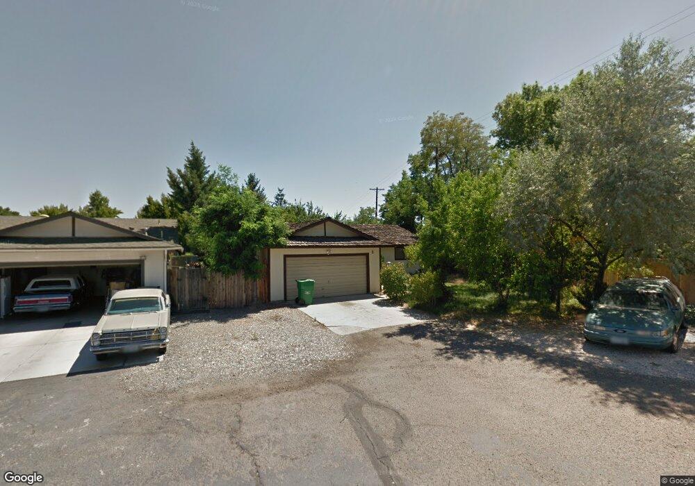
1 E York Way Sparks, NV 89431
McCarran Boulevard-Probasco NeighborhoodEstimated Value: $427,000 - $463,000
3
Beds
2
Baths
1,470
Sq Ft
$304/Sq Ft
Est. Value
About This Home
This home is located at 1 E York Way, Sparks, NV 89431 and is currently estimated at $446,790, approximately $303 per square foot. 1 E York Way is a home located in Washoe County with nearby schools including Florence Drake Elementary School, George L Dilworth Middle School, and Sparks High School.
Ownership History
Date
Name
Owned For
Owner Type
Purchase Details
Closed on
Aug 22, 2005
Sold by
Pompe Brian
Bought by
Mistretta Gina L
Current Estimated Value
Home Financials for this Owner
Home Financials are based on the most recent Mortgage that was taken out on this home.
Original Mortgage
$240,000
Outstanding Balance
$135,899
Interest Rate
7.1%
Mortgage Type
Unknown
Estimated Equity
$310,891
Purchase Details
Closed on
Mar 14, 2005
Sold by
Pompe Carol
Bought by
Pompe Brian
Purchase Details
Closed on
Sep 3, 1998
Sold by
Hopkins Jack E and Hopkins Violet R
Bought by
Pompe Brian and Pompe Carol
Home Financials for this Owner
Home Financials are based on the most recent Mortgage that was taken out on this home.
Original Mortgage
$123,856
Interest Rate
6.88%
Mortgage Type
FHA
Create a Home Valuation Report for This Property
The Home Valuation Report is an in-depth analysis detailing your home's value as well as a comparison with similar homes in the area
Home Values in the Area
Average Home Value in this Area
Purchase History
| Date | Buyer | Sale Price | Title Company |
|---|---|---|---|
| Mistretta Gina L | $300,000 | Western Title Incorporated | |
| Pompe Brian | -- | -- | |
| Pompe Brian | $126,000 | Stewart Title |
Source: Public Records
Mortgage History
| Date | Status | Borrower | Loan Amount |
|---|---|---|---|
| Open | Mistretta Gina L | $240,000 | |
| Previous Owner | Pompe Brian | $123,856 |
Source: Public Records
Tax History Compared to Growth
Tax History
| Year | Tax Paid | Tax Assessment Tax Assessment Total Assessment is a certain percentage of the fair market value that is determined by local assessors to be the total taxable value of land and additions on the property. | Land | Improvement |
|---|---|---|---|---|
| 2026 | $1,112 | $65,991 | $42,021 | $23,970 |
| 2025 | $1,453 | $65,509 | $40,387 | $25,122 |
| 2024 | $1,453 | $64,195 | $38,231 | $25,964 |
| 2023 | $1,018 | $63,716 | $38,423 | $25,293 |
| 2022 | $1,370 | $52,868 | $31,301 | $21,567 |
| 2021 | $1,331 | $43,520 | $21,599 | $21,921 |
| 2020 | $1,291 | $42,054 | $19,635 | $22,419 |
| 2019 | $1,254 | $42,698 | $20,598 | $22,100 |
| 2018 | $1,215 | $36,915 | $14,900 | $22,015 |
| 2017 | $1,182 | $35,700 | $13,283 | $22,417 |
| 2016 | $1,151 | $36,002 | $12,705 | $23,297 |
| 2015 | $1,149 | $33,979 | $10,357 | $23,622 |
| 2014 | $1,116 | $31,793 | $8,778 | $23,015 |
| 2013 | -- | $29,595 | $6,584 | $23,011 |
Source: Public Records
Map
Nearby Homes
- 10 Sheridan Way
- 87 Gurr Ct
- 2021 1st St
- 343 Richards Way
- 8 E O St
- 115 P St
- 1940 4th St Unit 20
- 1940 4th St Unit 51
- 1945 4th St Unit 32
- 1945 4th St Unit 33
- 1945 4th St Unit 51
- 120 E Lenwood Dr
- 109 M St
- 465 Lenwood Dr
- 3071 Meadowlands Dr
- 341 Granada Dr
- 3245 Elaine Way
- 3104 Sandy St
- 370 O'Brien Way
- 3241 Edna Ct