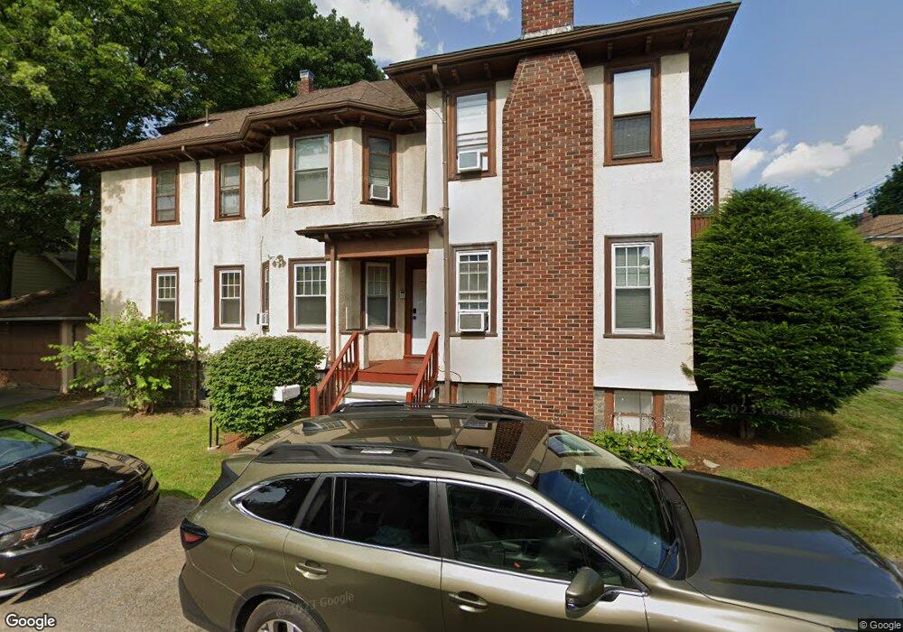
1 Eliot Cir Milton, MA 02186
Columbine Cliffs NeighborhoodEstimated Value: $4,899,420
3
Beds
1
Bath
1,200
Sq Ft
$4,083/Sq Ft
Est. Value
About This Home
This home is located at 1 Eliot Cir, Milton, MA 02186 and is currently estimated at $4,899,420, approximately $4,082 per square foot. 1 Eliot Cir is a home located in Norfolk County with nearby schools including Milton High School, KIPP Academy Boston Charter School, and St. Mary of the Hills School.
Ownership History
Date
Name
Owned For
Owner Type
Purchase Details
Closed on
Dec 16, 2019
Sold by
Elad T
Bought by
1 Eliot Street Llc
Current Estimated Value
Home Financials for this Owner
Home Financials are based on the most recent Mortgage that was taken out on this home.
Original Mortgage
$2,210,600
Outstanding Balance
$1,952,770
Interest Rate
3.7%
Mortgage Type
Purchase Money Mortgage
Estimated Equity
$2,946,650
Purchase Details
Closed on
Mar 2, 1976
Bought by
Elad Rt
Create a Home Valuation Report for This Property
The Home Valuation Report is an in-depth analysis detailing your home's value as well as a comparison with similar homes in the area
Home Values in the Area
Average Home Value in this Area
Purchase History
| Date | Buyer | Sale Price | Title Company |
|---|---|---|---|
| 1 Eliot Street Llc | $3,151,800 | None Available | |
| Elad Rt | -- | -- |
Source: Public Records
Mortgage History
| Date | Status | Borrower | Loan Amount |
|---|---|---|---|
| Open | 1 Eliot Street Llc | $2,210,600 |
Source: Public Records
Tax History Compared to Growth
Tax History
| Year | Tax Paid | Tax Assessment Tax Assessment Total Assessment is a certain percentage of the fair market value that is determined by local assessors to be the total taxable value of land and additions on the property. | Land | Improvement |
|---|---|---|---|---|
| 2025 | $0 | $3,242,700 | $804,400 | $2,438,300 |
| 2024 | $30,882 | $2,943,000 | $696,500 | $2,246,500 |
| 2023 | $0 | $2,602,500 | $652,900 | $1,949,600 |
| 2022 | $0 | $2,602,500 | $652,900 | $1,949,600 |
| 2021 | $0 | $2,607,400 | $725,500 | $1,881,900 |
| 2020 | $30,882 | $1,536,400 | $604,600 | $931,800 |
| 2019 | $29,884 | $1,479,400 | $556,200 | $923,200 |
| 2018 | $27,892 | $1,273,600 | $501,500 | $772,100 |
| 2017 | $26,182 | $1,217,200 | $477,600 | $739,600 |
| 2016 | $25,567 | $1,178,200 | $459,500 | $718,700 |
| 2015 | $22,700 | $1,013,400 | $399,000 | $614,400 |
Source: Public Records
Map
Nearby Homes
- 84 Blue Hills Pkwy
- 16 Blue Hill Ave
- 27 Hawthorn Rd
- 128 Blue Hills Pkwy
- 25 Malta St
- 96 Brook Rd
- 15 Fairfax Rd
- 48-50 Rockdale St
- 214 Brook Rd
- 645 River St
- 112 Brush Hill Rd
- 90 Hollingsworth St
- 23 Caton St
- 25 Alpine St Unit 7
- 20 Massasoit St
- 32 Columbine Rd
- 95 Woodhaven St
- 96 Houston Ave
- 137 Thacher St Unit 137
- 770 Cummins Hwy Unit 1
- 1 Eliot Cir Unit 2
- 575 Eliot St
- 575 Eliot St Unit 1
- 581 Eliot St Unit 583
- 581 Eliot St Unit 1
- 583 Eliot St Unit 2
- 7 Eliot Cir
- 2 Eliot Cir
- 4 Willoughby Rd
- 570 Eliot St
- 51 Curtis Rd
- 45 Curtis Rd Unit 47
- 45 Curtis Rd Unit 2
- 47 Curtis Rd Unit 1
- 10 Willoughby Rd
- 584 Eliot St
- 9 Eliot Cir
- 568 Eliot St
- 7 Willoughby Rd
- 001 Briarfield Rd Unit A