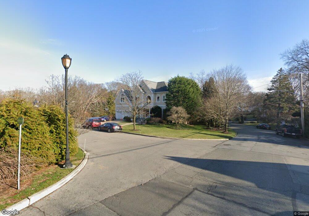
1 Emerson Point New Rochelle, NY 10801
Sun Haven/Homestead Park NeighborhoodEstimated Value: $1,104,000 - $1,823,000
4
Beds
5
Baths
3,448
Sq Ft
$448/Sq Ft
Est. Value
About This Home
This home is located at 1 Emerson Point, New Rochelle, NY 10801 and is currently estimated at $1,544,448, approximately $447 per square foot. 1 Emerson Point is a home located in Westchester County with nearby schools including Trinity Elementary School, Isaac E. Young Middle School, and New Rochelle High School.
Ownership History
Date
Name
Owned For
Owner Type
Purchase Details
Closed on
Aug 7, 2002
Sold by
Emerson Point Estates Llc
Bought by
Fosina John and Fosina Elizabeth
Current Estimated Value
Purchase Details
Closed on
Feb 12, 2001
Sold by
Emerson Point Estates Ltd
Bought by
Emerson Point Estates Llc
Create a Home Valuation Report for This Property
The Home Valuation Report is an in-depth analysis detailing your home's value as well as a comparison with similar homes in the area
Home Values in the Area
Average Home Value in this Area
Purchase History
| Date | Buyer | Sale Price | Title Company |
|---|---|---|---|
| Fosina John | $905,000 | The Judicial Title Ins Agenc | |
| Emerson Point Estates Llc | $500,000 | Ticor Title Guarantee Compan |
Source: Public Records
Tax History Compared to Growth
Tax History
| Year | Tax Paid | Tax Assessment Tax Assessment Total Assessment is a certain percentage of the fair market value that is determined by local assessors to be the total taxable value of land and additions on the property. | Land | Improvement |
|---|---|---|---|---|
| 2024 | $36,720 | $26,950 | $6,650 | $20,300 |
| 2023 | $32,323 | $26,950 | $6,650 | $20,300 |
| 2022 | $34,996 | $26,950 | $6,650 | $20,300 |
| 2021 | $34,876 | $26,950 | $6,650 | $20,300 |
| 2020 | $28,992 | $26,950 | $6,650 | $20,300 |
| 2019 | $33,640 | $26,950 | $6,650 | $20,300 |
| 2018 | $28,234 | $26,950 | $6,650 | $20,300 |
| 2017 | $4,628 | $26,950 | $6,650 | $20,300 |
| 2016 | $31,189 | $26,950 | $6,650 | $20,300 |
| 2015 | $24,446 | $26,950 | $6,650 | $20,300 |
| 2014 | $24,446 | $26,950 | $6,650 | $20,300 |
| 2013 | $24,446 | $26,950 | $6,650 | $20,300 |
Source: Public Records
Map
Nearby Homes
- 63 Premium Point
- 81 Seaview Ave
- 11 Highview Ave
- 5 Dillon Rd
- 7 Edgewater Place
- 7 Parkland Ave
- 46 Premium Point
- 2410 Boston Post Rd
- 16 Wilson Dr
- 20 Harding Dr
- 1 Pryer Manor Rd
- 80 Old Boston Post Rd Unit 6
- 22 Harrison Dr
- 125 Sun Haven Dr
- 104 Premium Point Rd
- 110 Stonelea Place Unit 2B
- 101 Lispenard Ave
- 29 Pratt St
- 2270 Palmer Ave Unit 5J
- 2333 Palmer Ave Unit 2G
- 7 Emerson Ave
- 85 Emerson Ave
- 2 Emerson Point
- 11 Emerson Point
- 69 Emerson Ave
- 108 Premium Point Rd
- 8 Emerson Point
- 96 Emerson Ave
- 65 Emerson Ave
- 14 Emerson Point
- 101 Emerson Ave
- 61 Emerson Ave
- 17 Emerson Point
- 20 Emerson Point
- 59 Emerson Ave
- 106 Emerson Ave
- 109 Emerson Ave
- 52 Emerson Ave
- 3 Agar Ave
- 53 Emerson Ave