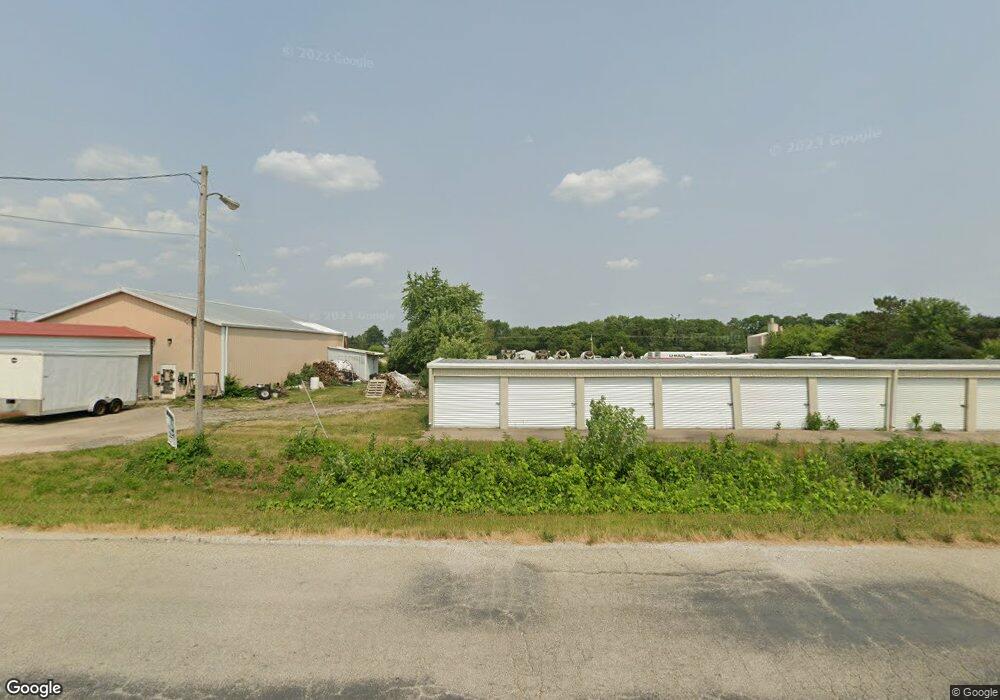
1 Enterprise Dr Canton, IL 61520
Estimated Value: $125,613
Studio
--
Bath
2,400
Sq Ft
$52/Sq Ft
Est. Value
About This Home
This home is located at 1 Enterprise Dr, Canton, IL 61520 and is currently estimated at $125,613, approximately $52 per square foot. 1 Enterprise Dr is a home located in Fulton County with nearby schools including Canton High School and Calvary Baptist Academy.
Ownership History
Date
Name
Owned For
Owner Type
Purchase Details
Closed on
Jul 27, 2016
Bought by
Tindall Byron J
Current Estimated Value
Home Financials for this Owner
Home Financials are based on the most recent Mortgage that was taken out on this home.
Original Mortgage
$115,915
Interest Rate
3.54%
Mortgage Type
New Conventional
Purchase Details
Closed on
Jul 16, 2010
Purchase Details
Closed on
May 8, 2007
Sold by
Joseph L Lafferty Family Rev Trust
Bought by
Berryrichard
Create a Home Valuation Report for This Property
The Home Valuation Report is an in-depth analysis detailing your home's value as well as a comparison with similar homes in the area
Home Values in the Area
Average Home Value in this Area
Purchase History
| Date | Buyer | Sale Price | Title Company |
|---|---|---|---|
| Tindall Byron J | $68,500 | -- | |
| -- | $68,500 | -- | |
| Berryrichard | $60,000 | -- |
Source: Public Records
Mortgage History
| Date | Status | Borrower | Loan Amount |
|---|---|---|---|
| Closed | Tindall Byron J | $115,915 | |
| Closed | Tindall Byron J | $91,220 |
Source: Public Records
Tax History
| Year | Tax Paid | Tax Assessment Tax Assessment Total Assessment is a certain percentage of the fair market value that is determined by local assessors to be the total taxable value of land and additions on the property. | Land | Improvement |
|---|---|---|---|---|
| 2024 | $4,988 | $49,810 | $3,430 | $46,380 |
| 2023 | $4,193 | $40,740 | $3,280 | $37,460 |
| 2022 | $4,097 | $40,740 | $3,280 | $37,460 |
| 2021 | $4,032 | $39,160 | $3,150 | $36,010 |
| 2020 | $3,903 | $37,500 | $3,020 | $34,480 |
| 2019 | $3,752 | $37,500 | $3,020 | $34,480 |
| 2018 | $3,654 | $36,780 | $2,960 | $33,820 |
| 2017 | $3,644 | $36,780 | $2,960 | $33,820 |
| 2016 | $3,758 | $36,780 | $2,960 | $33,820 |
| 2015 | $3,571 | $35,440 | $2,850 | $32,590 |
| 2013 | -- | $29,470 | $2,780 | $26,690 |
| 2012 | -- | $16,030 | $2,690 | $13,340 |
Source: Public Records
Map
Nearby Homes
- 134 N Avenue D
- 458 W Pine St
- 1110 W Hickory St
- 324 W Spruce St
- 355 W Walnut St
- 351 S Avenue D
- 148 Robinson Ct
- 412 W Maple St
- 223 W Locust St
- 226 Cass Place
- 330 N Sycamore Terrace
- 310 N Avenue B
- 702 N Avenue C
- 159 W Locust St
- 666 N Avenue B
- 654 N Avenue B
- 166 Park Plaza Dr
- 319 S Avenue A
- 36 E Olive St
- 19030 Illinois 78
- 0 Enterprise Ln
- 2 Enterprise Dr
- 2 Enterprise Dr
- 8 Opportunity Ln
- 10 Opportunity Ln
- 3 Enterprise Dr
- 1129 W Locust St
- 1120 W Locust St
- 1110 W Locust St
- 12 Enterprise Dr
- 12 Enterprise Dr
- 1115 W Locust St
- 105 Little John Ct
- 1250 W Locust St
- 41 W Locust St
- 1100 W Locust St
- 1100 W Locust St
- 1100 W Locust St Unit 28
- 1100 W Locust St Unit 99
- 1271 W Locust St
Your Personal Tour Guide
Ask me questions while you tour the home.