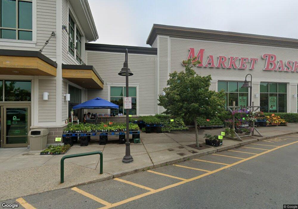
1 Factory Outlet Rd Bourne, MA 02532
Estimated Value: $50,154,768
Studio
--
Bath
--
Sq Ft
534,786
Sq Ft Lot
About This Home
This home is located at 1 Factory Outlet Rd, Bourne, MA 02532 and is currently estimated at $50,154,768. 1 Factory Outlet Rd is a home located in Barnstable County with nearby schools including Bourne High School, Bridgeview Montessori School, and Waldorf School of Cape Cod.
Ownership History
Date
Name
Owned For
Owner Type
Purchase Details
Closed on
Dec 30, 2014
Sold by
Demoulas Super Market
Bought by
Dsm Mb 2 Llc
Current Estimated Value
Home Financials for this Owner
Home Financials are based on the most recent Mortgage that was taken out on this home.
Original Mortgage
$200,000,000
Outstanding Balance
$154,202,421
Interest Rate
4.02%
Mortgage Type
Commercial
Estimated Equity
-$104,047,653
Purchase Details
Closed on
Dec 12, 2011
Sold by
Compass Bourne Llc
Bought by
Demoulas Super Markets
Purchase Details
Closed on
Mar 31, 2011
Sold by
Compass Bourne Llc
Bought by
Massachusetts Comm Of
Purchase Details
Closed on
May 28, 2010
Sold by
High Rock Factory Outl
Bought by
Compass Bourne Llc
Create a Home Valuation Report for This Property
The Home Valuation Report is an in-depth analysis detailing your home's value as well as a comparison with similar homes in the area
Purchase History
| Date | Buyer | Sale Price | Title Company |
|---|---|---|---|
| Dsm Mb 2 Llc | -- | -- | |
| Demoulas Super Markets | -- | -- | |
| Massachusetts Comm Of | -- | -- | |
| Compass Bourne Llc | $20,900,000 | -- |
Source: Public Records
Mortgage History
| Date | Status | Borrower | Loan Amount |
|---|---|---|---|
| Open | Dsm Mb 2 Llc | $200,000,000 |
Source: Public Records
Tax History
| Year | Tax Paid | Tax Assessment Tax Assessment Total Assessment is a certain percentage of the fair market value that is determined by local assessors to be the total taxable value of land and additions on the property. | Land | Improvement |
|---|---|---|---|---|
| 2025 | $209,966 | $26,884,200 | $16,468,600 | $10,415,600 |
| 2024 | $222,562 | $27,750,900 | $17,335,300 | $10,415,600 |
| 2023 | $242,970 | $27,578,900 | $16,669,300 | $10,909,600 |
| 2022 | $256,089 | $25,380,500 | $15,672,200 | $9,708,300 |
| 2021 | $265,410 | $24,643,500 | $15,215,500 | $9,428,000 |
| 2020 | $0 | $24,237,000 | $14,918,700 | $9,318,300 |
| 2019 | $248,954 | $23,687,300 | $14,625,600 | $9,061,700 |
| 2018 | $0 | $22,763,400 | $14,062,400 | $8,701,000 |
| 2017 | $232,026 | $22,526,800 | $13,921,600 | $8,605,200 |
| 2016 | $228,769 | $22,516,600 | $13,921,600 | $8,595,000 |
| 2015 | $240,303 | $23,863,300 | $13,921,600 | $9,941,700 |
Source: Public Records
Map
Nearby Homes
- 8 Jillian Dr
- 896 Sandwich Rd
- 51 Commonwealth Ave
- 51 Commonwealth Ave
- 18 Gibbs Rd
- 6 Aspen Rd Unit 6
- 6 Aspen Rd
- 4 Andrew Rd
- 150 Herring Pond Rd
- 16 Ocean Pines Dr Unit B
- 24 Heather Hill Rd
- 0 State Rd
- 8 Driftwood Ln
- 7 Swamp Rd
- 5 Candlewood Dr
- 7 Bourne Ave
- 133 Phillips Rd
- 10 Tecumseh Rd
- 29 Weather Deck Rd
- 71 Tupper Rd
Your Personal Tour Guide
Ask me questions while you tour the home.