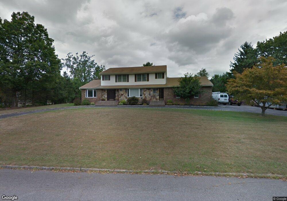
1 Farmstead Ct E Randolph, NJ 07869
Estimated Value: $889,995 - $1,023,000
Studio
--
Bath
2,766
Sq Ft
$350/Sq Ft
Est. Value
About This Home
This home is located at 1 Farmstead Ct E, Randolph, NJ 07869 and is currently estimated at $966,999, approximately $349 per square foot. 1 Farmstead Ct E is a home located in Morris County with nearby schools including Randolph High School, Randolph Middle School, and Apple Montessori Schools and Camps - Randolph.
Ownership History
Date
Name
Owned For
Owner Type
Purchase Details
Closed on
Jul 26, 2006
Sold by
Terrezza Anthony
Bought by
Limone Daniel and Limone Jennifer
Current Estimated Value
Home Financials for this Owner
Home Financials are based on the most recent Mortgage that was taken out on this home.
Original Mortgage
$552,000
Interest Rate
6.49%
Mortgage Type
New Conventional
Purchase Details
Closed on
Apr 27, 2000
Sold by
Campo Anthony and Campo Karen
Bought by
Terrezza Anthony L and Terrezza Maria
Home Financials for this Owner
Home Financials are based on the most recent Mortgage that was taken out on this home.
Original Mortgage
$300,000
Interest Rate
8.21%
Purchase Details
Closed on
Jan 14, 2000
Sold by
Campo Anthony and Balch Gail T
Bought by
Campo Anthony
Create a Home Valuation Report for This Property
The Home Valuation Report is an in-depth analysis detailing your home's value as well as a comparison with similar homes in the area
Home Values in the Area
Average Home Value in this Area
Purchase History
| Date | Buyer | Sale Price | Title Company |
|---|---|---|---|
| Limone Daniel | $690,000 | -- | |
| Terrezza Anthony L | $360,000 | -- | |
| Campo Anthony | -- | -- |
Source: Public Records
Mortgage History
| Date | Status | Borrower | Loan Amount |
|---|---|---|---|
| Previous Owner | Limone Daniel | $552,000 | |
| Previous Owner | Terrezza Anthony L | $300,000 |
Source: Public Records
Tax History
| Year | Tax Paid | Tax Assessment Tax Assessment Total Assessment is a certain percentage of the fair market value that is determined by local assessors to be the total taxable value of land and additions on the property. | Land | Improvement |
|---|---|---|---|---|
| 2025 | $16,944 | $598,500 | $212,700 | $385,800 |
| 2024 | $16,519 | $598,500 | $212,700 | $385,800 |
Source: Public Records
Map
Nearby Homes
- 226 Morris Turnpike
- 2 Birdie Ln
- 187 Morris Turnpike
- 95A Calais Rd
- 50 Quail Run
- 3 Woodmont Dr
- 234 Dover Chester Rd
- 33 Albert Ct
- 1430 Sussex Turnpike
- 56 Woodland Rd
- 47 Woodland Rd
- 39 Woodland Rd
- 8 Franklin Dr
- 25 Budd St
- 65 Rasboro Rd
- 1134 Sussex Turnpike
- 63 Rasboro Rd
- 46 Arowana Rd
- 38 Arowana Rd
- 14 Rasboro Rd
- 150 Combs Hollow Rd
- 3 Farmstead Ct E
- 2 Farmstead Ct E
- 147 Combs Hollow Rd
- 5 Farmstead Ct E
- 4 Farmstead Ct E
- 149 Combs Hollow Rd
- 152 Combs Hollow Rd
- 2 Farmstead Ct W
- 151 Combs Hollow Rd
- 3 Farmstead Ct W
- 148 Combs Hollow Rd
- 7 Farmstead Ct E
- 6 Farmstead Ct E
- 10 Farmstead Ct E
- 8 Farmstead Ct E
- 154 Combs Hollow Rd
- 153 Combs Hollow Rd
- 46 Calais Rd
- 4 Farmstead Ct W
Your Personal Tour Guide
Ask me questions while you tour the home.