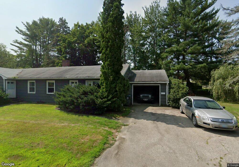
1 Fieldcrest Dr Kennebunk, ME 04043
Estimated Value: $471,757 - $744,000
4
Beds
2
Baths
1,616
Sq Ft
$364/Sq Ft
Est. Value
About This Home
This home is located at 1 Fieldcrest Dr, Kennebunk, ME 04043 and is currently estimated at $587,439, approximately $363 per square foot. 1 Fieldcrest Dr is a home located in York County with nearby schools including Kennebunk High School, School Around Us, and The New School.
Ownership History
Date
Name
Owned For
Owner Type
Purchase Details
Closed on
Jul 15, 2020
Sold by
Arel Gerald H and Arel Karen M
Bought by
Angulo Kelley B and Angulo Peter
Current Estimated Value
Home Financials for this Owner
Home Financials are based on the most recent Mortgage that was taken out on this home.
Original Mortgage
$238,800
Outstanding Balance
$211,752
Interest Rate
3.1%
Mortgage Type
New Conventional
Estimated Equity
$375,687
Create a Home Valuation Report for This Property
The Home Valuation Report is an in-depth analysis detailing your home's value as well as a comparison with similar homes in the area
Home Values in the Area
Average Home Value in this Area
Purchase History
| Date | Buyer | Sale Price | Title Company |
|---|---|---|---|
| Angulo Kelley B | -- | None Available |
Source: Public Records
Mortgage History
| Date | Status | Borrower | Loan Amount |
|---|---|---|---|
| Open | Angulo Kelley B | $238,800 |
Source: Public Records
Tax History
| Year | Tax Paid | Tax Assessment Tax Assessment Total Assessment is a certain percentage of the fair market value that is determined by local assessors to be the total taxable value of land and additions on the property. | Land | Improvement |
|---|---|---|---|---|
| 2024 | $4,305 | $254,000 | $73,300 | $180,700 |
| 2023 | $4,077 | $254,000 | $73,300 | $180,700 |
| 2022 | $3,708 | $254,000 | $73,300 | $180,700 |
| 2021 | $3,620 | $254,000 | $73,300 | $180,700 |
| 2020 | $3,594 | $254,000 | $73,300 | $180,700 |
| 2019 | $3,493 | $254,000 | $73,300 | $180,700 |
| 2018 | $3,334 | $190,500 | $55,000 | $135,500 |
| 2017 | $3,153 | $190,500 | $55,000 | $135,500 |
| 2016 | $3,029 | $190,500 | $55,000 | $135,500 |
| 2015 | $2,915 | $190,500 | $55,000 | $135,500 |
| 2014 | $2,697 | $190,500 | $55,000 | $135,500 |
Source: Public Records
Map
Nearby Homes
- 14 Summer St Unit 6
- 93 Main St Unit A
- 15 Dane St
- 106 Farragut Way Unit 149
- 7 Powder Mill Dr
- 22 Oakwood Ln
- 61 Fletcher St
- 40 Powder Mill Dr Unit 40
- 3 Hardwood Ln
- 15 Casey Ln
- 18 Longwood Dr
- 2 Cross St
- 0 Old Post Rd Unit 1628980
- 30 York St Unit 1
- 10 Chickadee Ln
- 24 Cat Mousam Rd
- 115 Fletcher St
- 2 Lexington Dr Unit 2
- 1 Hall St
- 17 Webhannet Place Unit 11
- 2 Penny Ln
- 4 Fieldcrest Dr
- 2 Fieldcrest Dr
- 6 Fieldcrest Dr
- 28 Portland Rd
- 5 Fieldcrest Dr
- 4 Penny Ln
- 0 Route One Unit 537947
- 0 Route One Unit 3 262202
- 0 Route One Unit 4
- 8 Fieldcrest Dr
- 6 Penny Ln
- 26 Barnard Ln
- 7 Fieldcrest Dr
- 24 Portland Rd
- 10 Fieldcrest Dr
- 20 Barnard Ln
- 25 Portland Rd
- 9 Fieldcrest Dr
- 8 Penny Ln
Your Personal Tour Guide
Ask me questions while you tour the home.